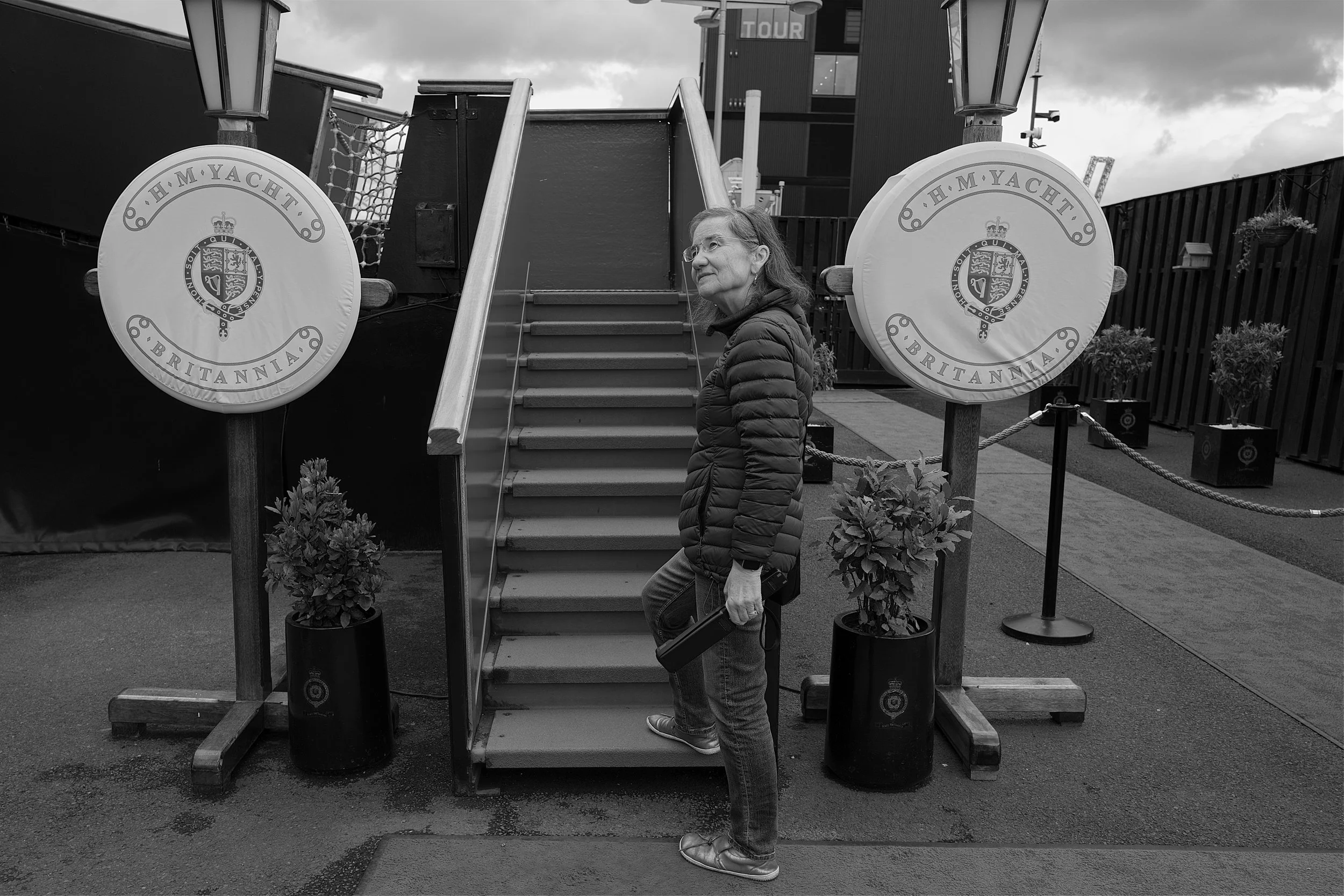
Sometimes life has a habit of creeping up on you. Back in March we thought that, following our daughters wedding in May, that we would be having a quiet summer. However, the fickle finger of fate ensured that the summer of 2026 was going to be rather hectic and in a very good way.
My brother Phil called to say that they had rented a a lovely house for a week in North Devon and asked if we would like to join them. As regular readers already know, “Carpe Diem” is our middle name. So, without a moment’s hesitation, we packed our bags, fired up Bridget and dialled Tillislow in to the sat-nav, as we headed over the Tamar Bridge to the “Dark Side”. For those of you who are reading my blog for the first time "The Dark Side” refers to Cornwall or, as the locals like to call it, “Kernow”.
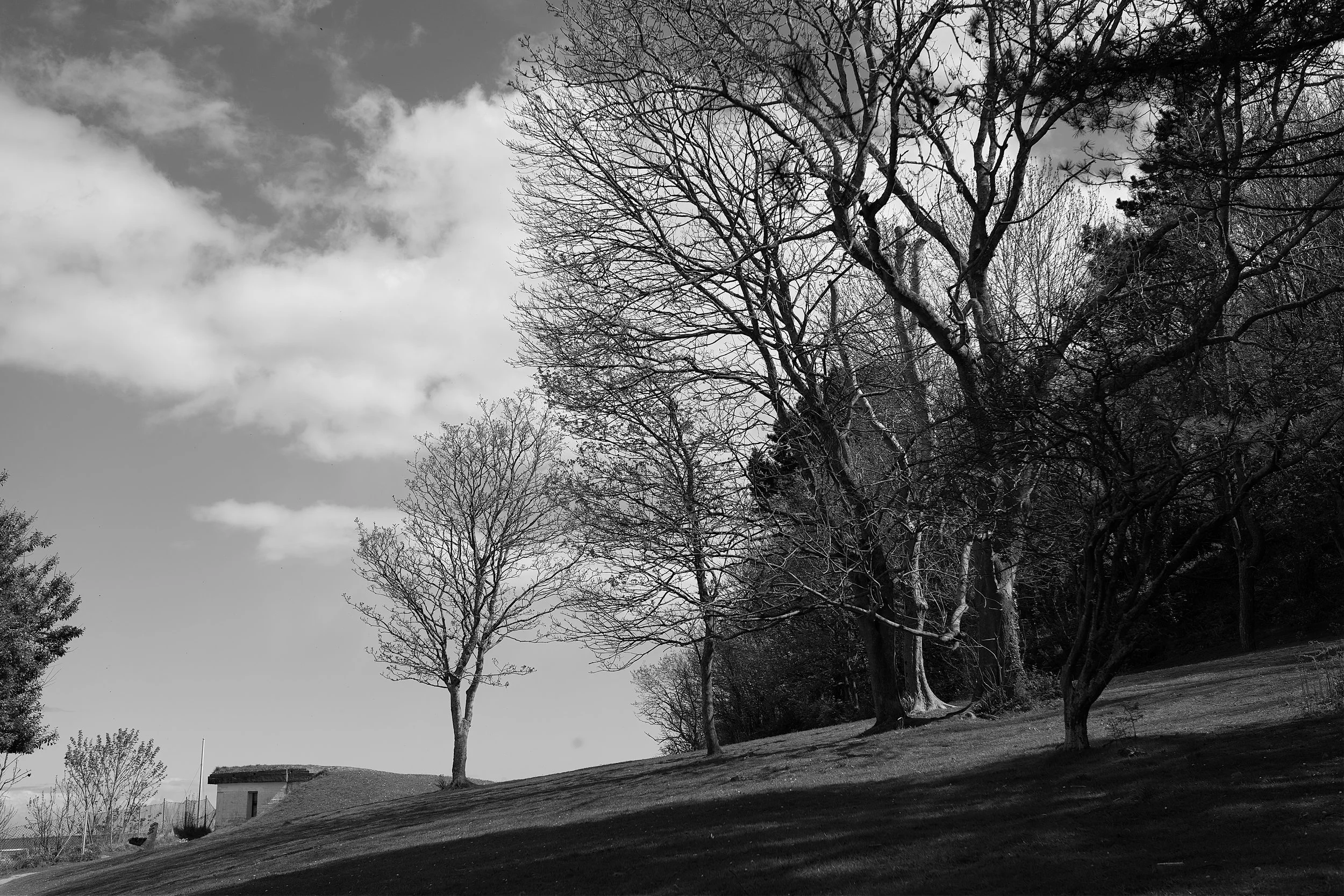
Funnily enough, the quickest way for us to head for Tillislow North Devon was through Cornwall and on a glorious June day we found ourselves driving through the beautiful Cornish countryside. It was then that we realised why thousands of tourists flock to the south west of England for their annual summer holidays. We are certainly blessed to have all of this on our doorstep.
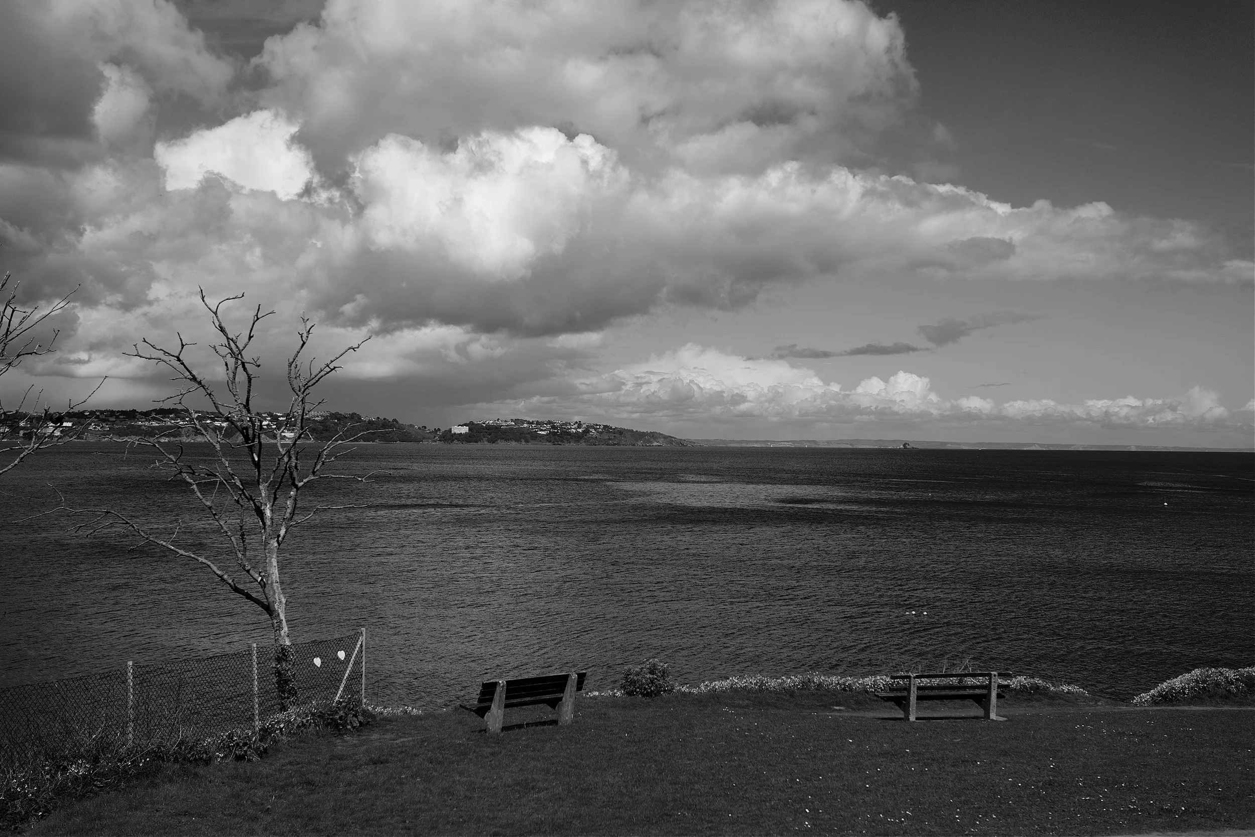
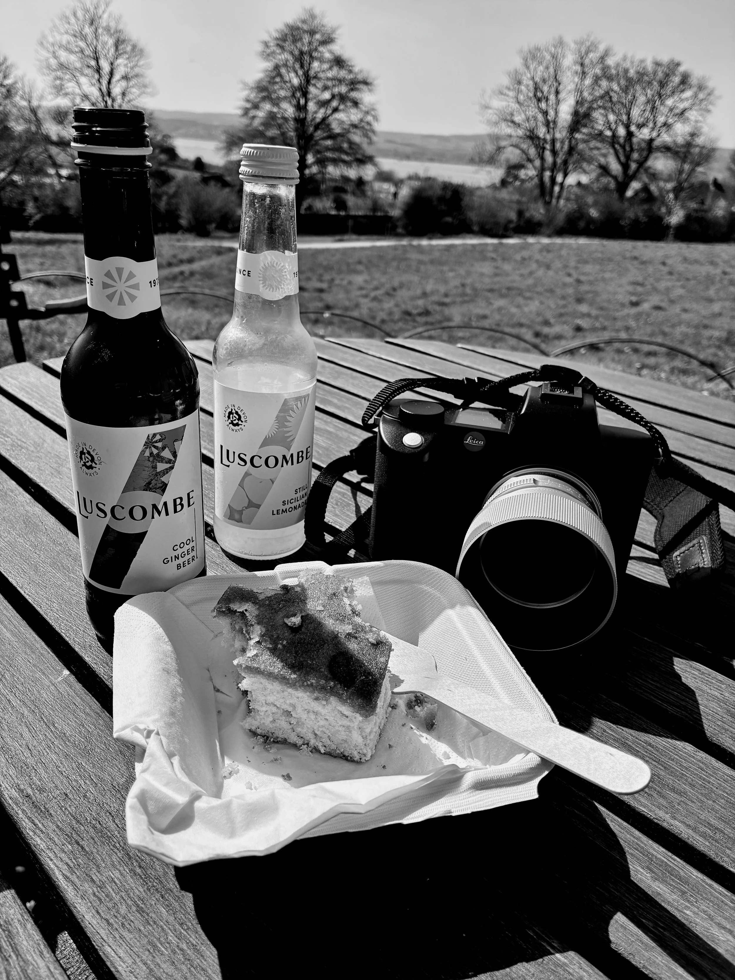
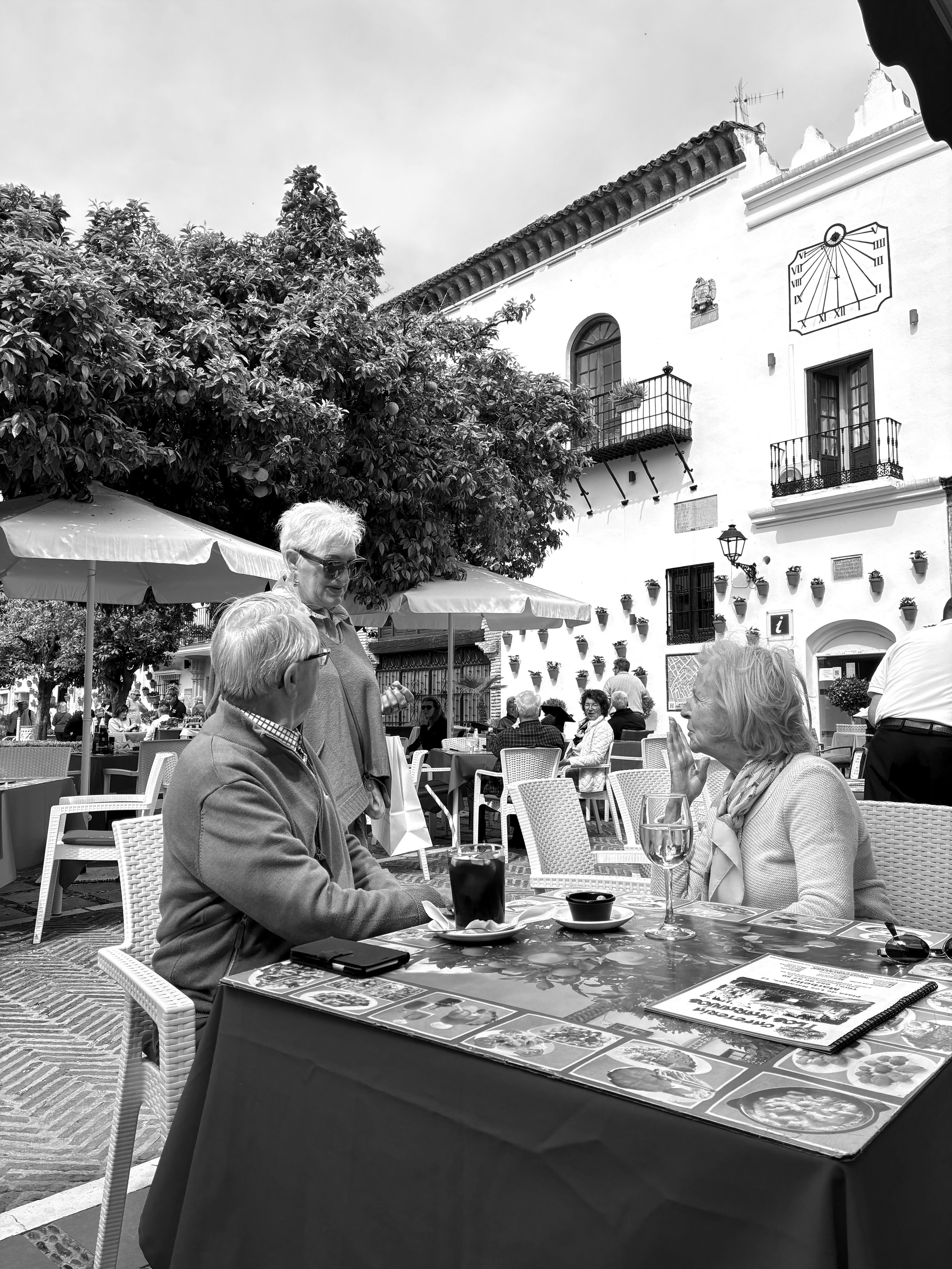
Now just outside of Launceston is a wonderful farm shop called Tre, Pol & Pen. This seemed like the perfect place to stop off for a mid-journey coffee and slice of lemon drizzle cake. You know it makes sense! As we sat outside enjoying our vittels I took the opportunity to capture the view.
Not a bad view over a cup of coffee and a slice of lemon drizzle!
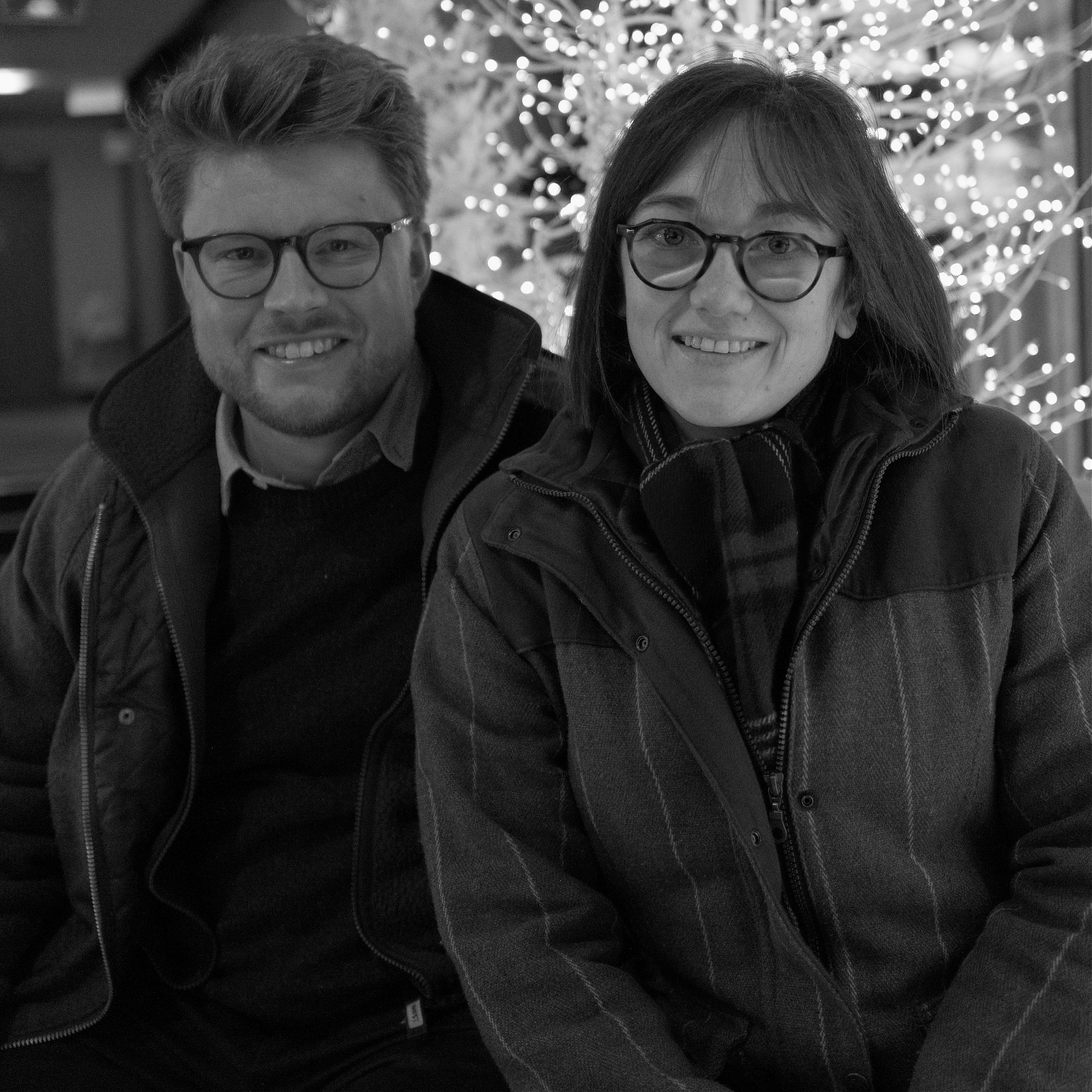
Our team for the week was my brother and his wife (a.k.a Uncle Phil and Aunty Jackie), our niece Dani and her husband Harry and Aunty Jackie’s father Mick. No house rules except to eat, drink and have a good time!

Our hosts for the week, Uncle Phil and Aunty Jackie.
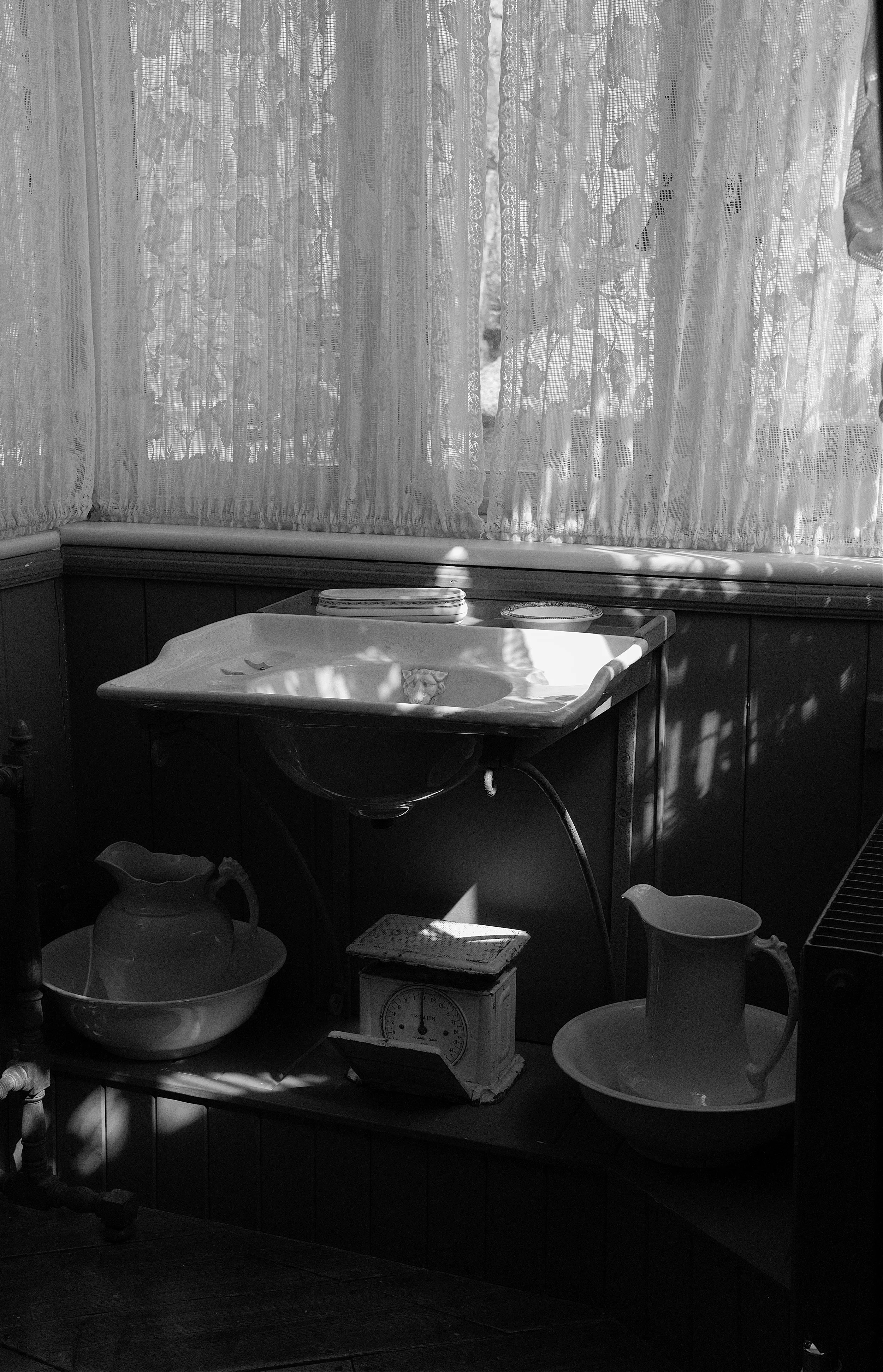
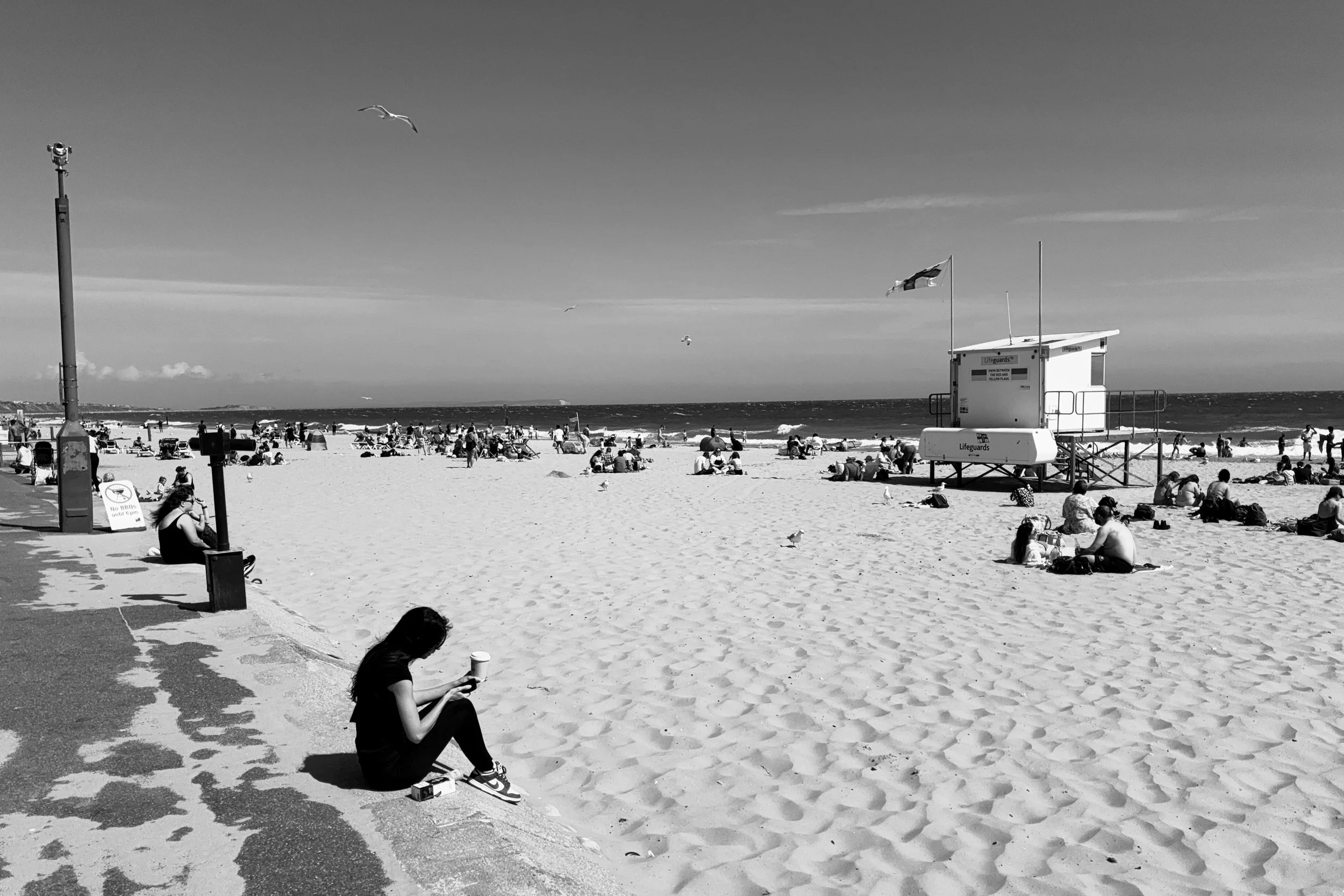
Now regular readers will know that the south west of England is prone to the odd spot of what may be described as intermittent precipitation (a.k.a. deluges of biblical intensity) so other than packing clothes that would accommodate all four seasons I decided that for my photographic needs I would keep it simple; the Leica SL2s and 50mm Summicron SL. This is an ideal package for walking around and I was sure this could handle the unpredictable North Devon weather.
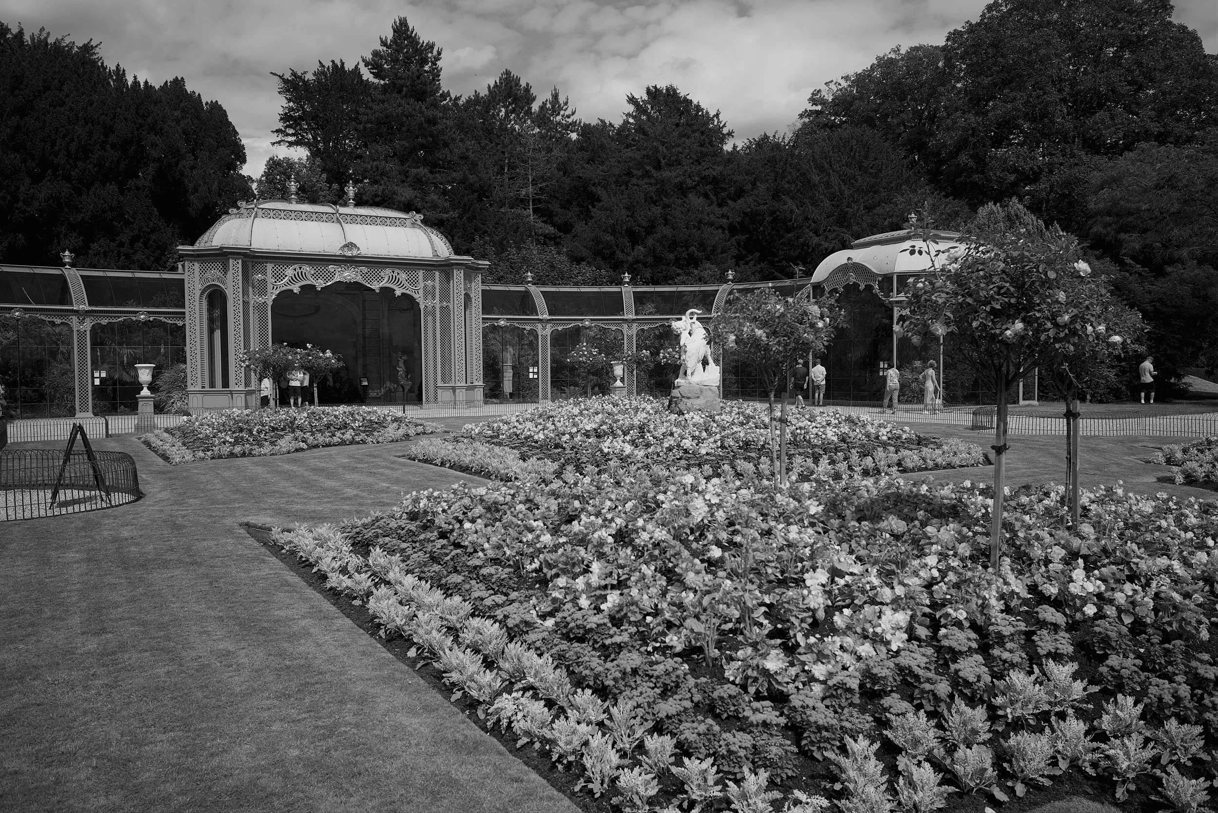
RHS Gardens Rosemoor.
Now aunty Jackie’s father Mick was originally born and spent his early years in Great Torrington and one of his most favourite spots is the wonderful RHS Garden Rosemoor. Open Monday through Sunday, between 10 a.m. and 6 p.m., Rosemoor is a Mecca for all those who enjoy activities of a horticulture nature or, for those like me, a walk around beautifully kept gardens with an air of serenity and tranquility. Best to book in advance though, especially in the summer or during public holidays, and a weekday saver ticket is £13.60 per head.
Now Rosemoor is about and hours drive from deepest Tillislow so it would be remiss of me not to mention that driving in North Devon may be described by us locals as at best “interesting” and for those unfamiliar with the local geography and road conditions, might range from the disconcerting to the downright alarming!. Most roads are about the width of one and a half cars so expect a bit of manoeuvring and reversing to cater for the odd articulated lorry, bus or tractor coming in the other direction. At some point you will end up on roads that have grass growing in the middle (never a good sign and often involves driving past small cottages with a young chap sitting on a porch playing a banjo!…I digress) so, check your sat-nav and remember that when it indicates the quickest route, it is not always the best route. Sometimes slow and steady equates to sanity and healthy blood pressure!
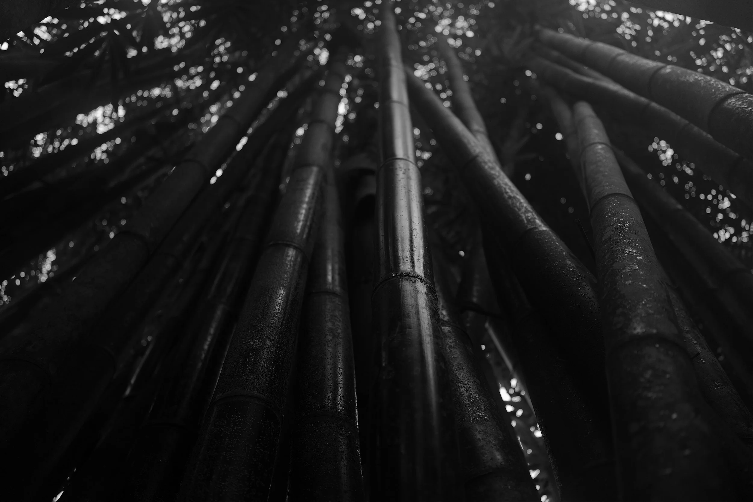
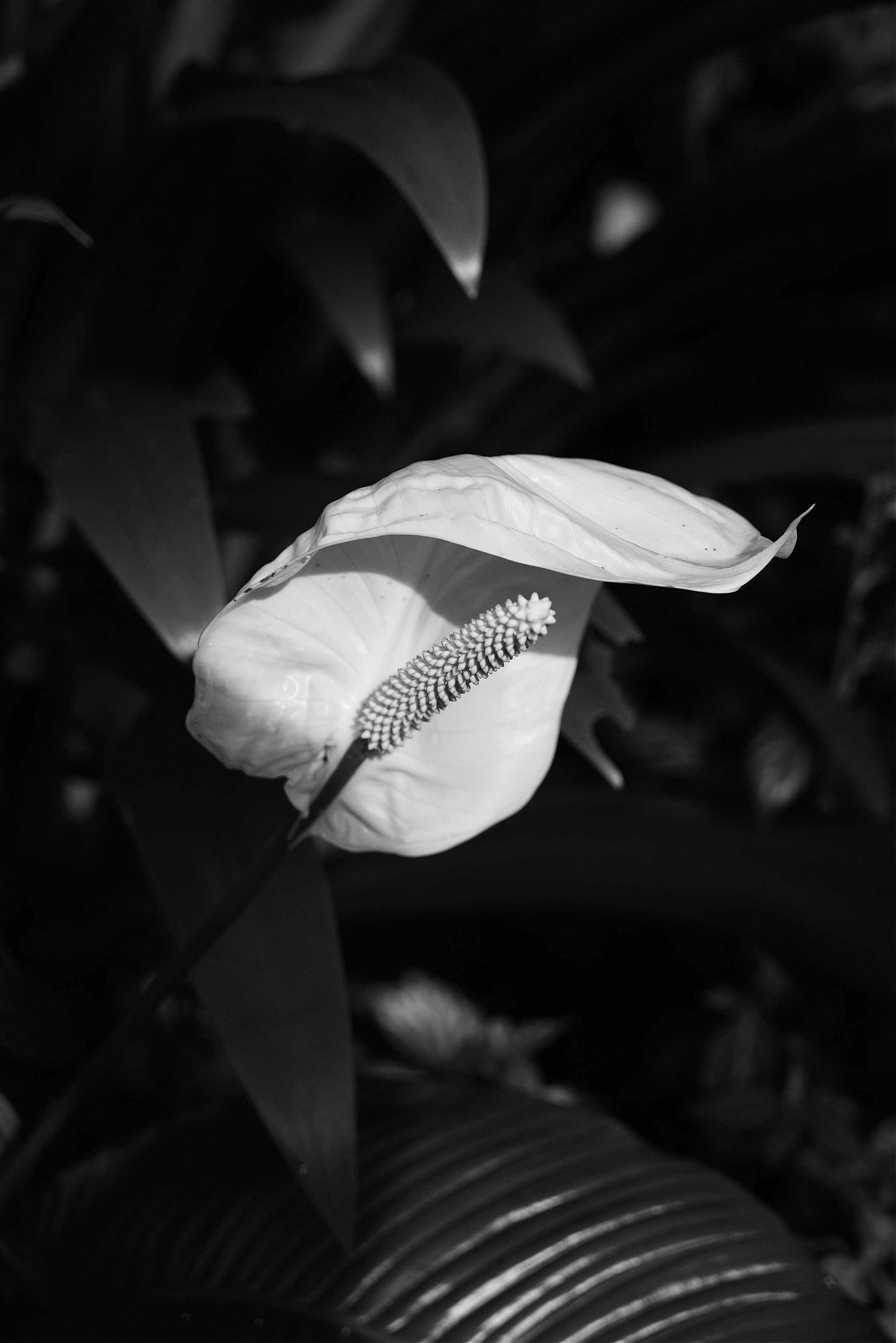
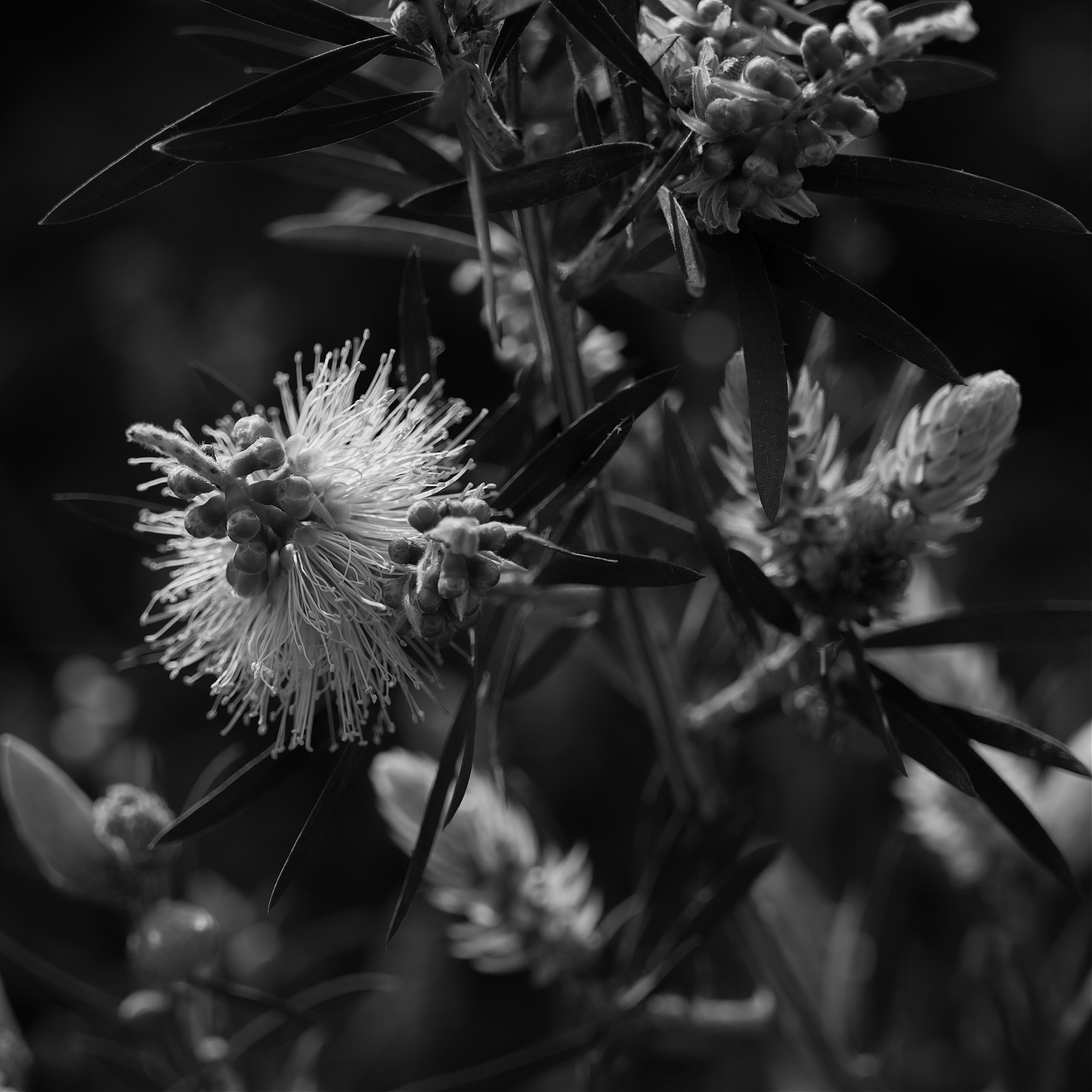
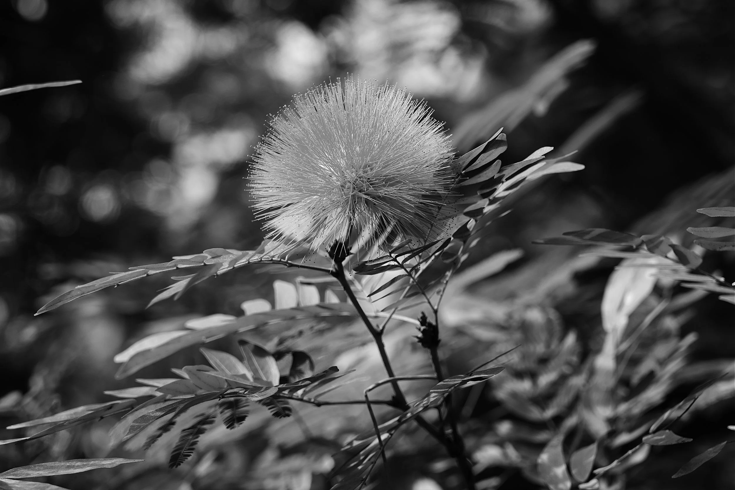
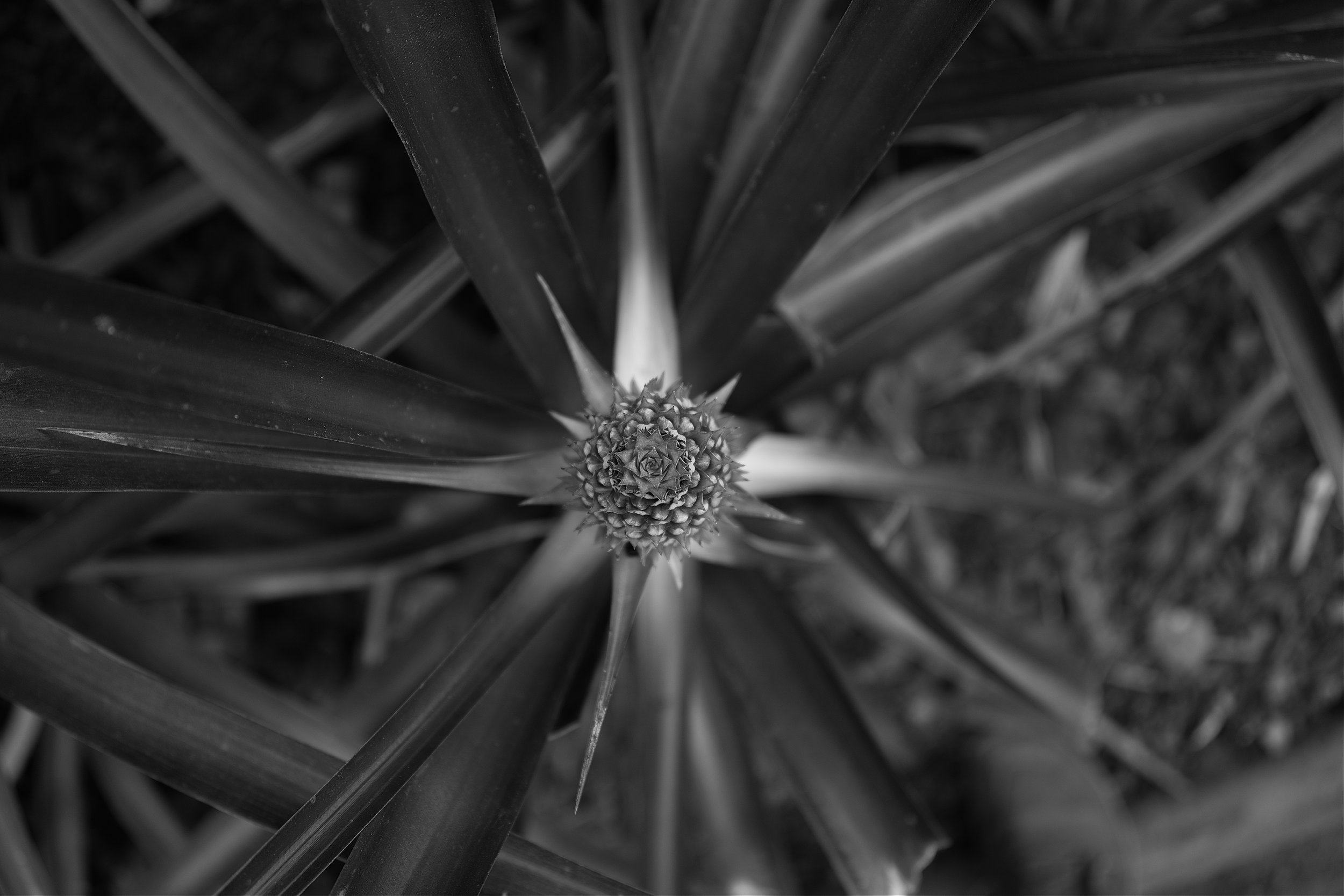
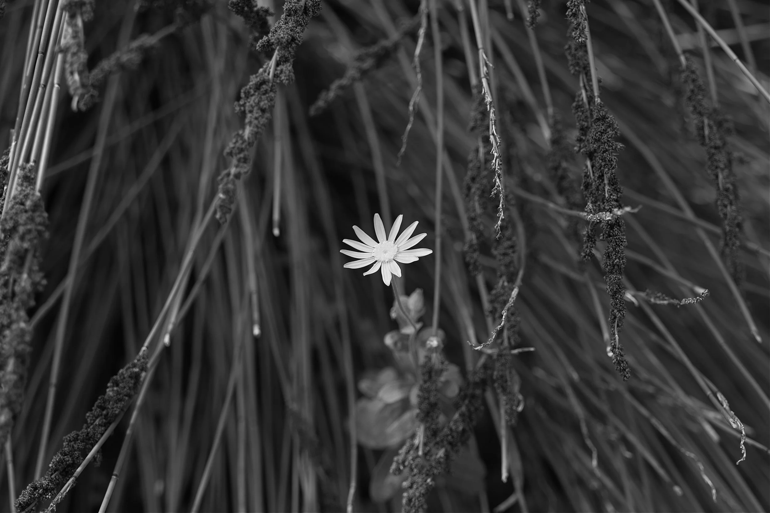
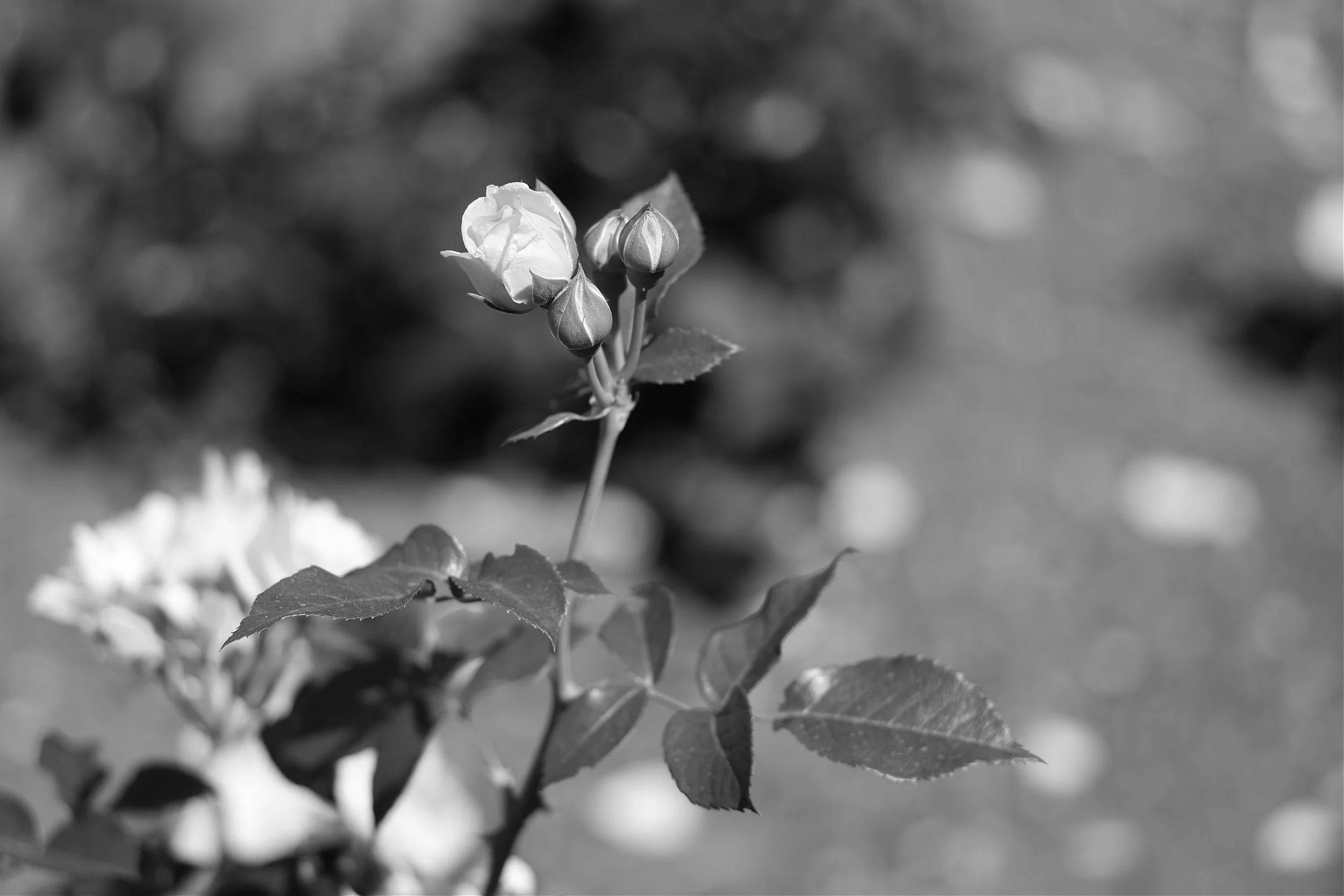
As you know, I live in a monochrome world and am the first to admit that plants in general and flowers in particular are not at their best when viewed devoid of colour. So, there lies the challenge, how to highlight the beauty of Rosemoor without colour.

What a beautiful scene to start the day,

Aunty Jackie, our horticultural advisor, leading the tour.

Always a sucker for a tranquil setting.

A bit of thatch and a wild meadow - what is not to like.

As usual my attempt at getting all arty.

Nature in monochrome.

I always love a reflection.

Something very art deco in this scene to finish.
Always a challenge to condense 5 hours at Rosemoor in to half a dozen images but I hope it sets the scene and encourages you to put Rosemoor on the list when next in the area.
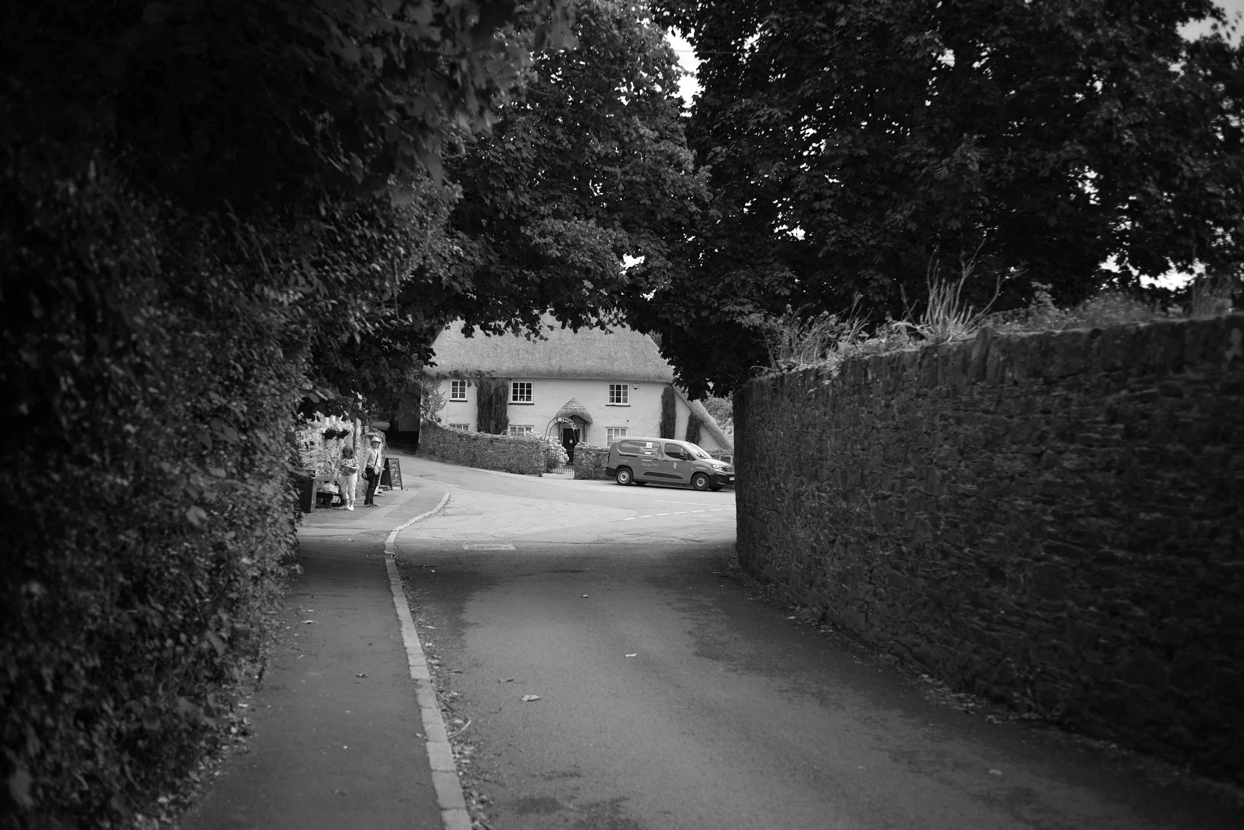
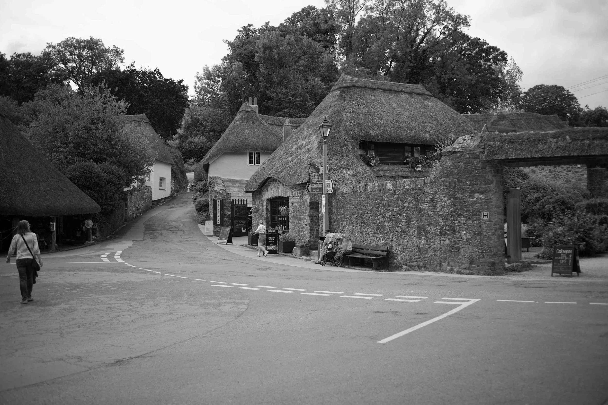
Clovelly Village
Next on our to do list was the wonderful seaside village of Clovelly. When visiting the North Devon coast Clovelly is a must. It is both a beautiful and unusual village in that it remains in private ownership.
The Clovelly estate was originally owned by William the Conqueror, (whose claim to fame was that his name was William and a went around conquering things and not to be confused with the sport of conkers) the then king of England and is mentioned in the Domesday Book. It had many royal associations until about 1242 when it was acquired by the Giffard family. By 1370 ownership came in to the hands of Sir William Cary. In 1738 Clovelly was sold to Zachary Hamlyn for the princely sum of £9,438 (about £3 million in 2026) which was a fortune at the time but may be regarded as a bargain today.
Over a century later Christine Hamlyn Fane assumed ownership and in 1889 she married Frederick Gosling who was apparently very wealthy. Christine was clearly a determined lady and made two demands of her new husband. The first was that he change his surname to Hamlyn (because of the long association of the Hamlyn name with Clovelly) and secondly she requested him to put his hand in his pocket and pony-up sufficient to restore the entire estate. Indeed, many of the properties in the village bear the initials CH and FH along with a date marking the renovation of said property.
Regrettably Christine and Frederick did not have any children and in 1936 the estate was given to Christine’s niece Betty Asquith. In 1962, upon Betty’s death, the estate was inherited by her eldest daughter Mary and the family have been managing the estate ever since.
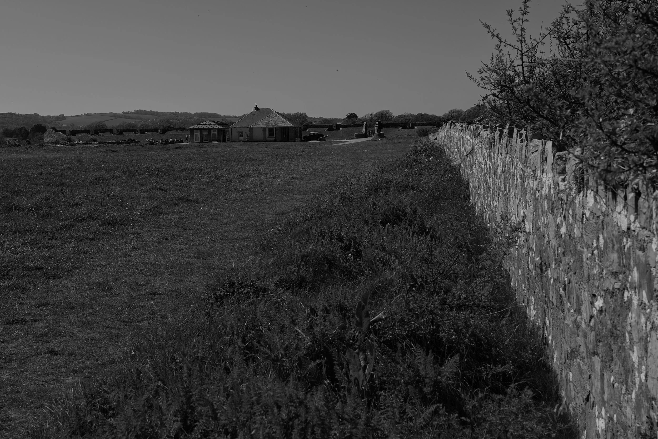
Upon arrival at the visitors centre you are warmly welcomed and requested to open your wallet to the tune of £10.90. Mind you that gets you in a second time for free should you return within 7 days. Of course, the reason there is a charge is that this is what helps maintain the estate in such pristine condition and ensures a wonderful day out.
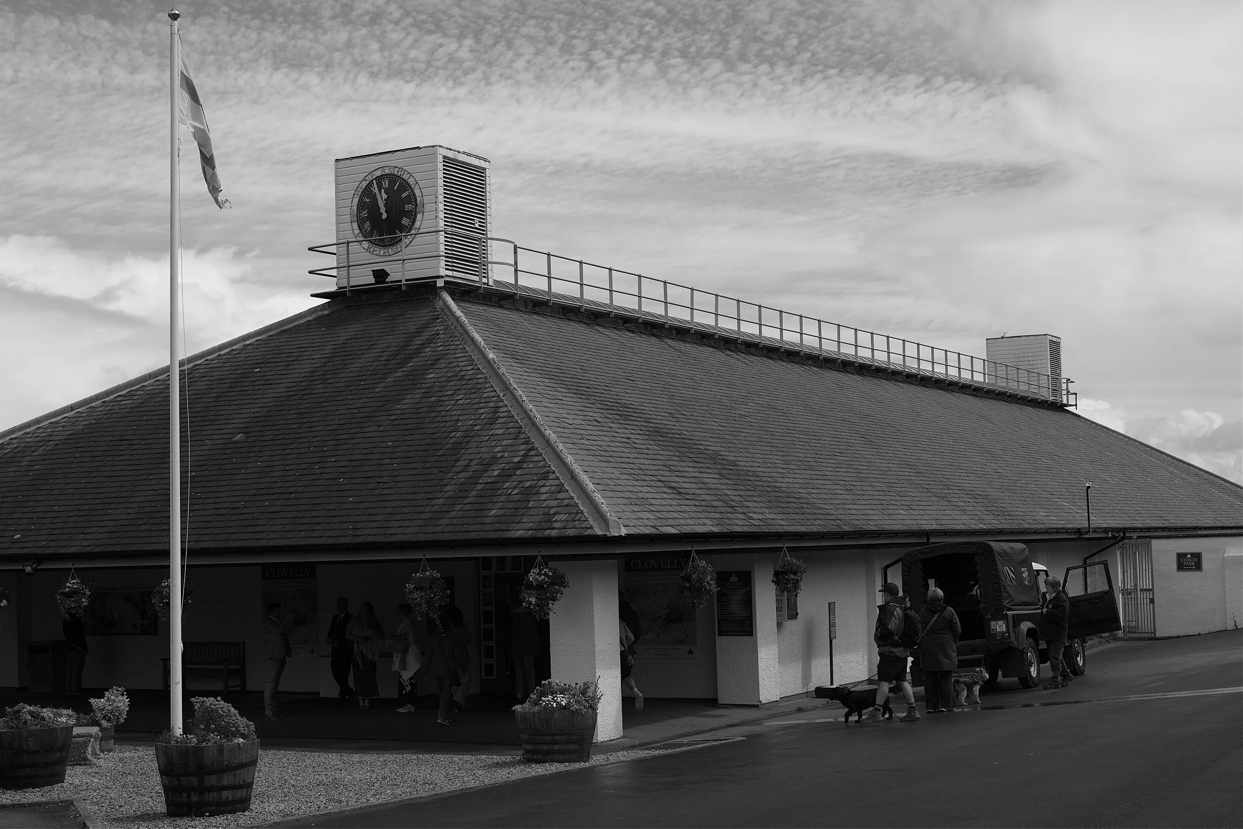
Welcome to Clovelly visitors centre.
For those planning to visit a word to the wise. Walking down through the village is steep. Walking back again feels even steeper! So, make sure you wear suitable footwear that can cope with cobbled streets and ensure your loins are suitably girded for a good walk.

Immediately you are struck by the beauty and tranquility.

And away…..

The cobbled streets are part of the beauty but can be a challenge for those unsteady on their feet.

High Street Clovelly, just like a picture postcard.

Its approaching rush hour on Main Street!

As you would expect all the properties are beautifully maintained.

The Cottage Tea Rooms - my happy place.
In our part of the world it is both custom and a necessity to indulge in a traditional afternoon tea of scones, clotted cream, jam and a steaming pot of tea. The Cottage Tea Rooms provided the perfect location. We had the usual discussion about whether to put jam or cream on as the first layer. Now, this is quite a contentious issue and is the only time that we would agree that the Cornish are correct about anything. A thick layer of jam provides an ideal base for an even thicker layer of luscious clotted cream. We see many amateurs trying to do it the other way round but trust me, the “Cornish way” ensures maximum reward for energy expended!
Suitably refreshed we took an opportunity to have a quick look around the Fisherman’s Cottage, Clovelly Museum and the beautiful St. Peter’s Chapel.

Fisherman’s cottage.

A scene from the museum.

Cozy Corner.

The beautiful wall at St Peter’s Chapel.
It was then time to head-off towards the harbour and it is fair to say that the road was getting even steeper.

Yes its getting steeper.
Time for a rest and to enjoy the view….and what a view!

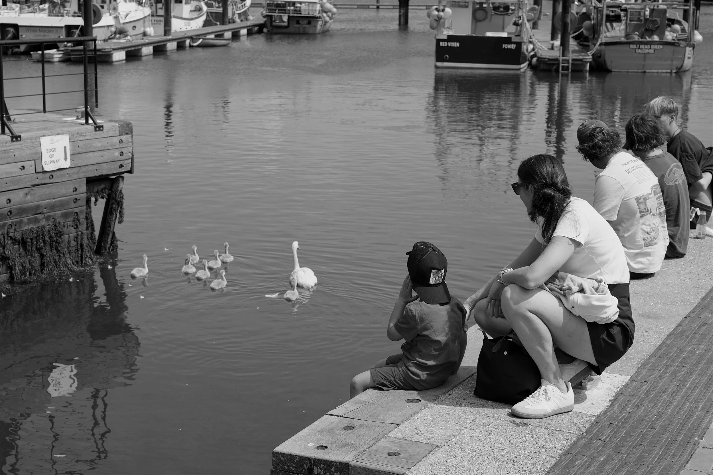
We eventually made it down to the harbour where we were immediately greeted by the Red Lion Hotel, overlooking the small fishing harbour.

The Red Lion Hotel looking over the harbour.

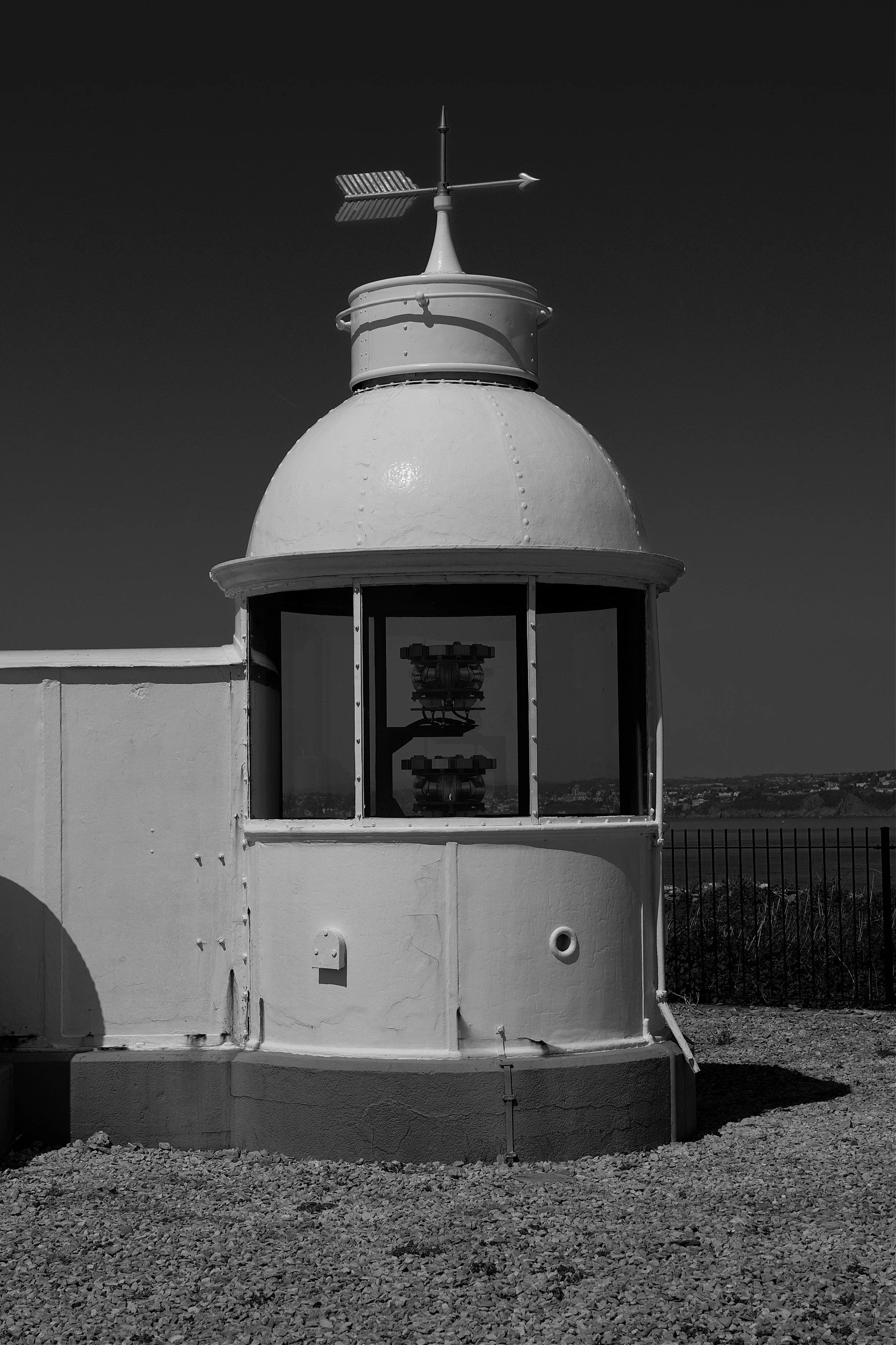
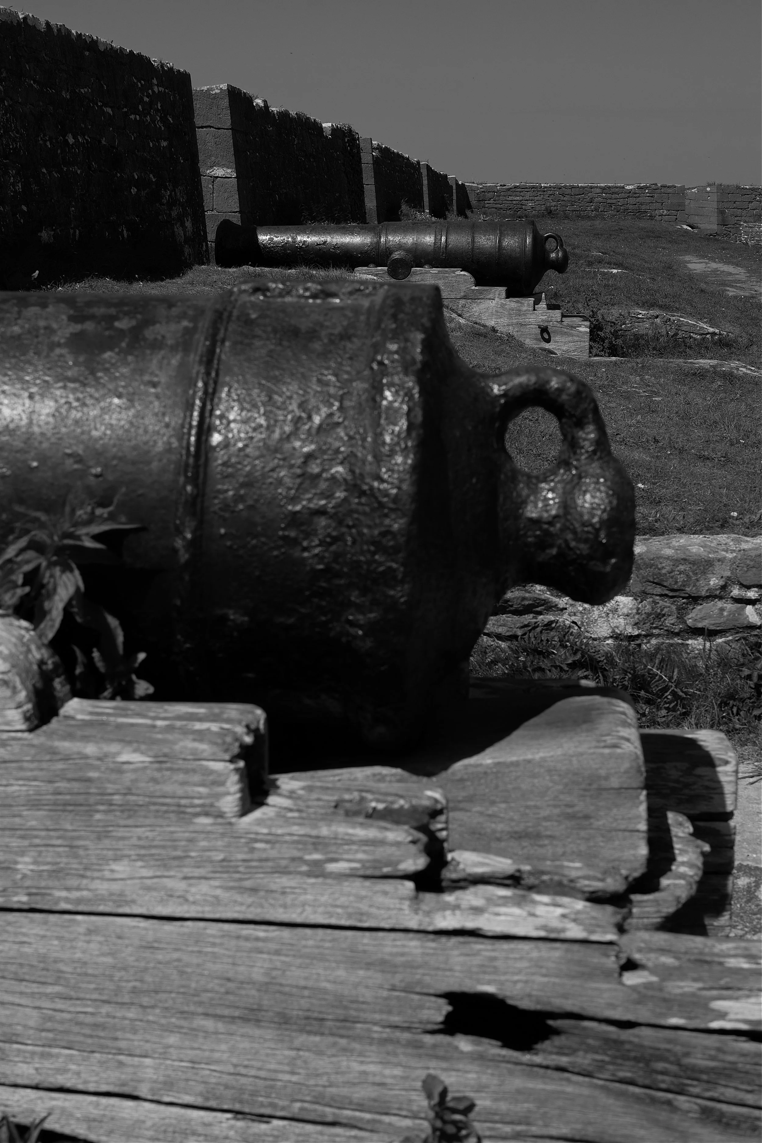
The harbour wall dating back to 1587.

The Red Lion Hotel from the entrance of the small harbour.

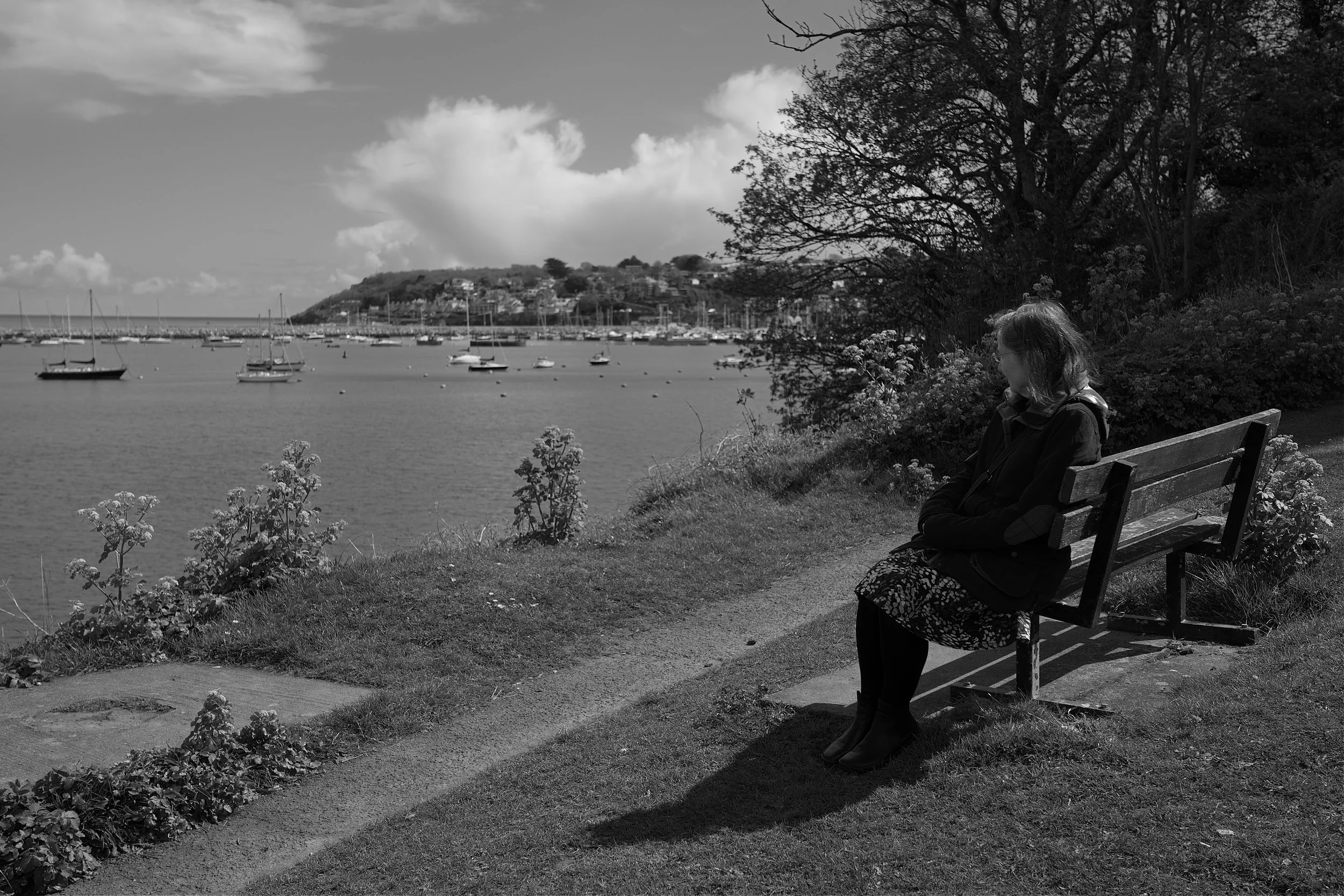
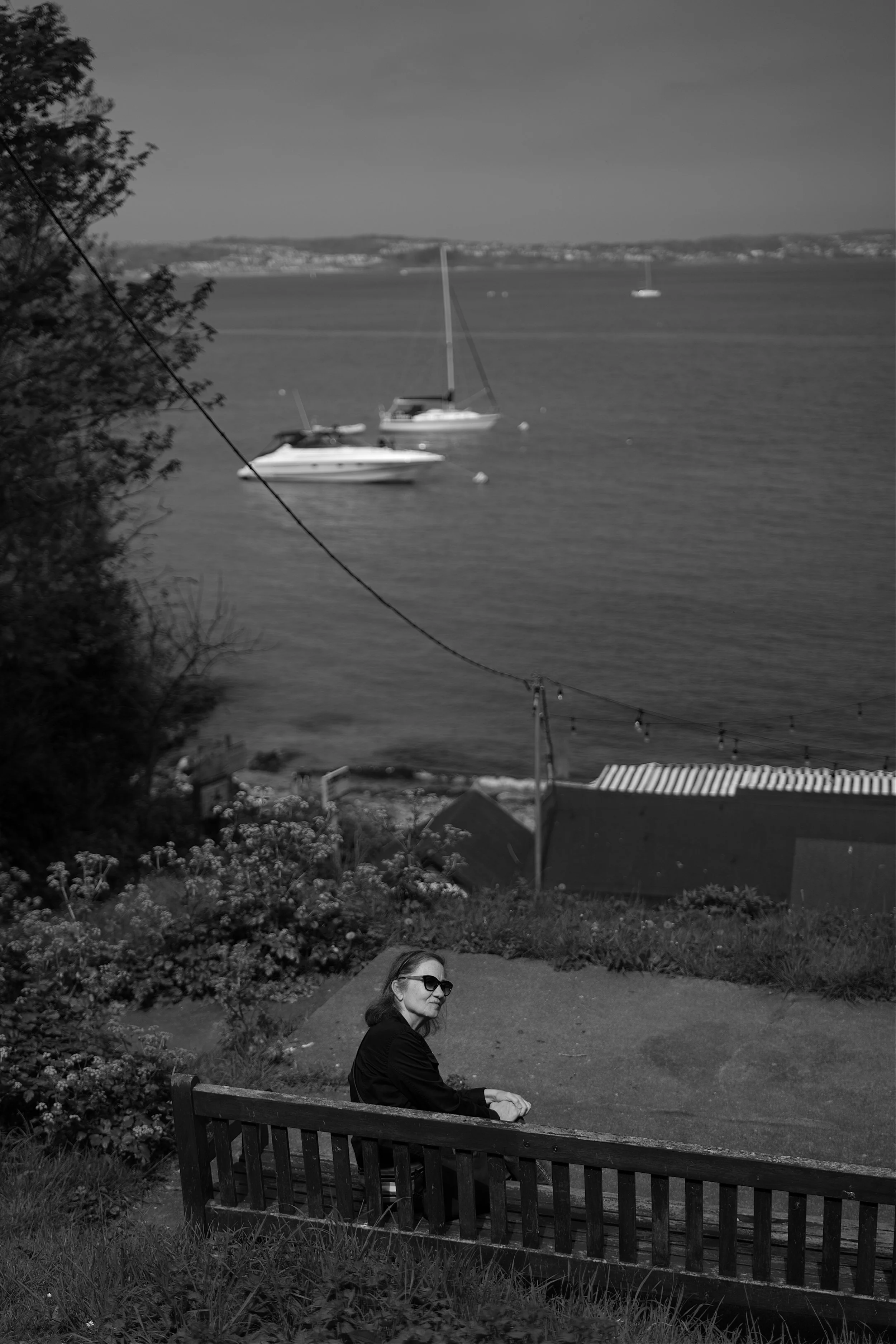
The beautiful Mrs. C. taking time to reflect.

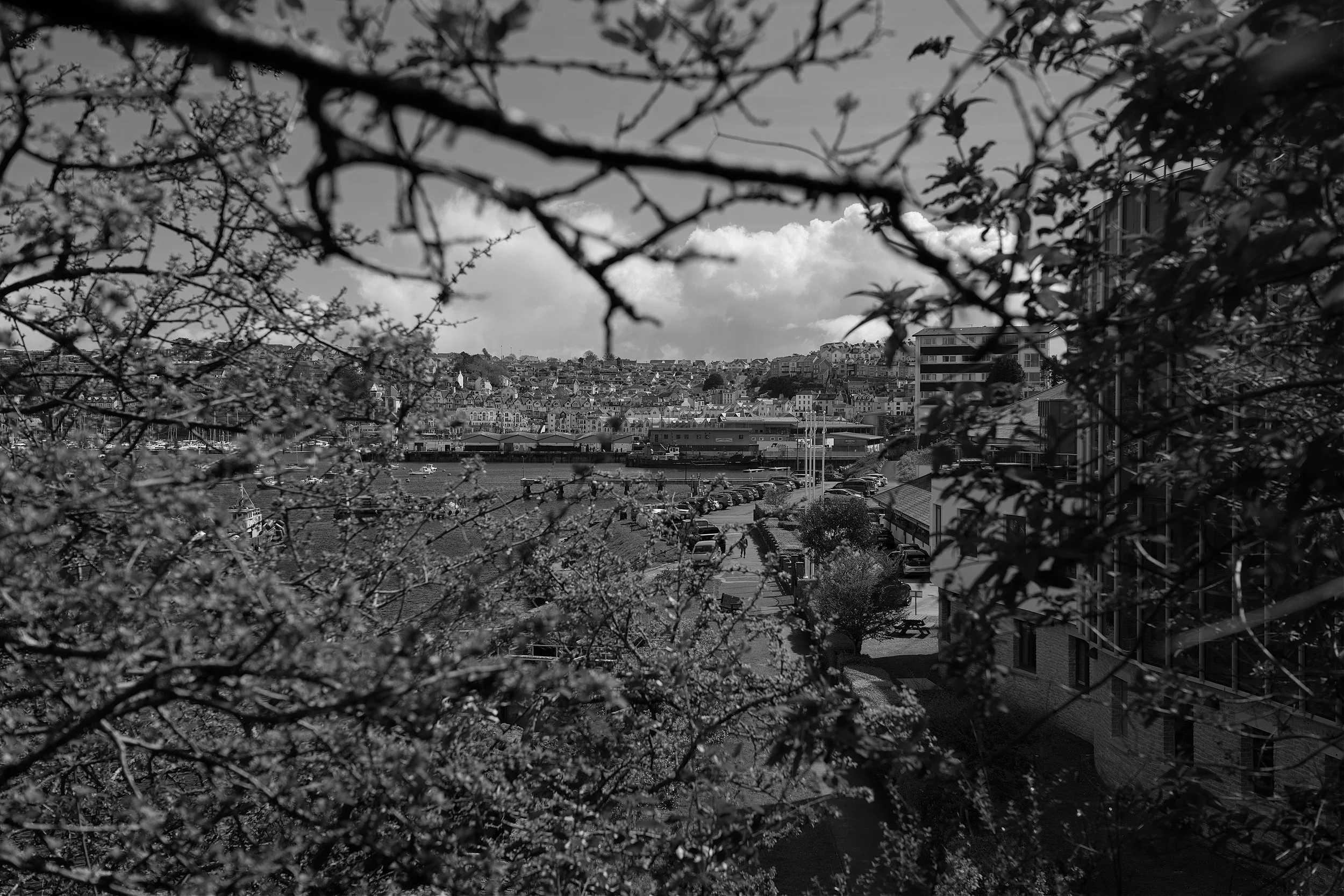
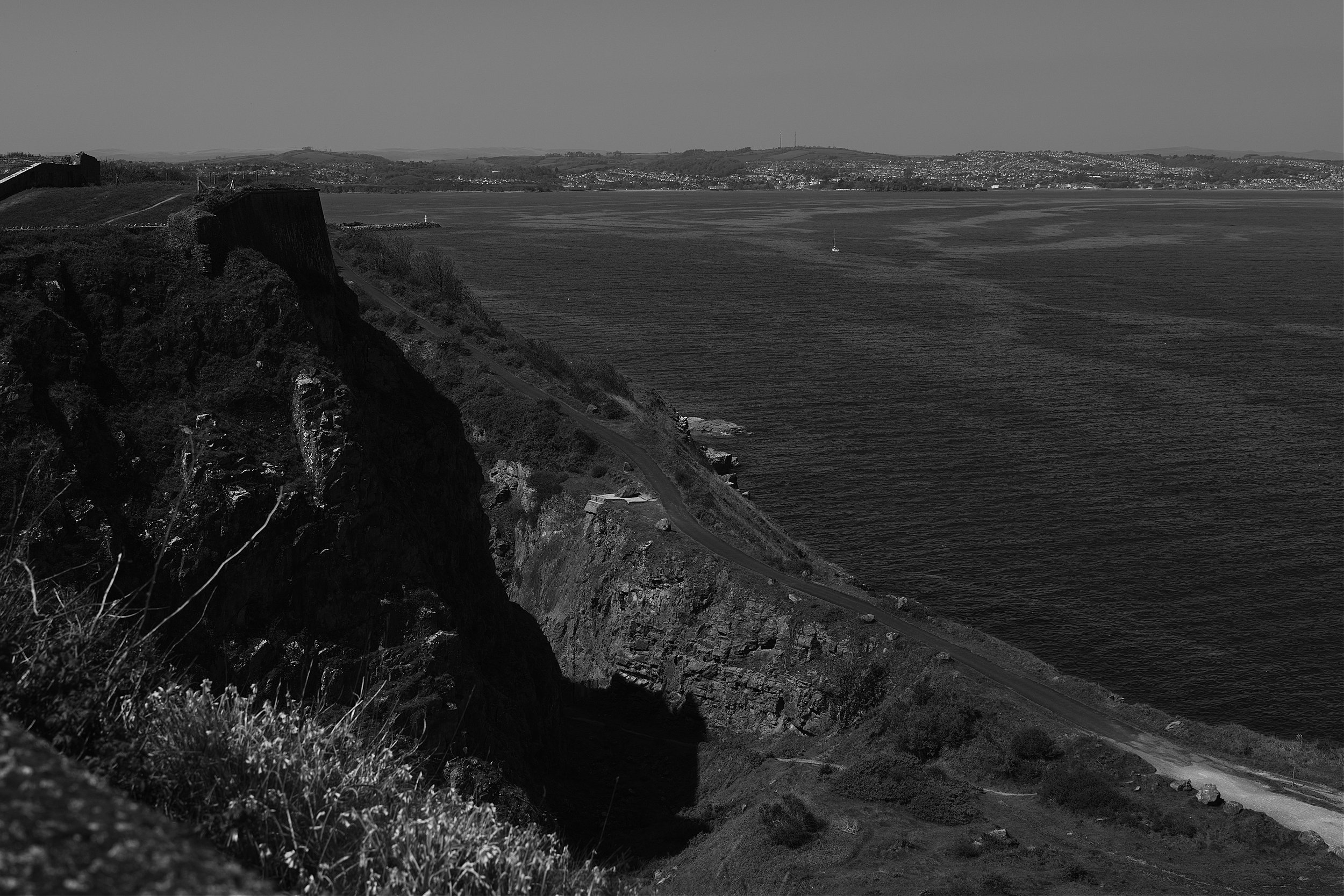
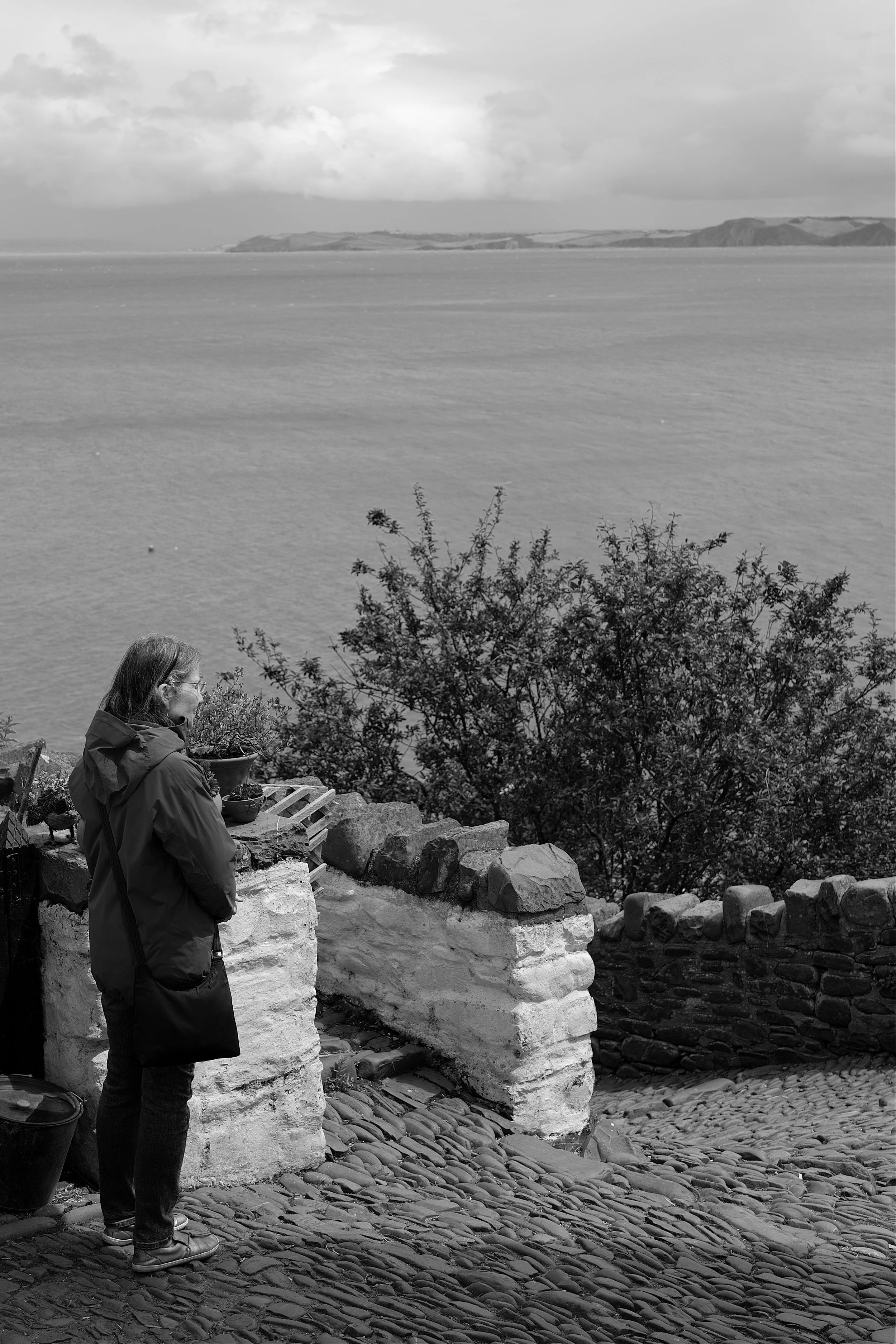
View of Clovelly from the harbour wall.
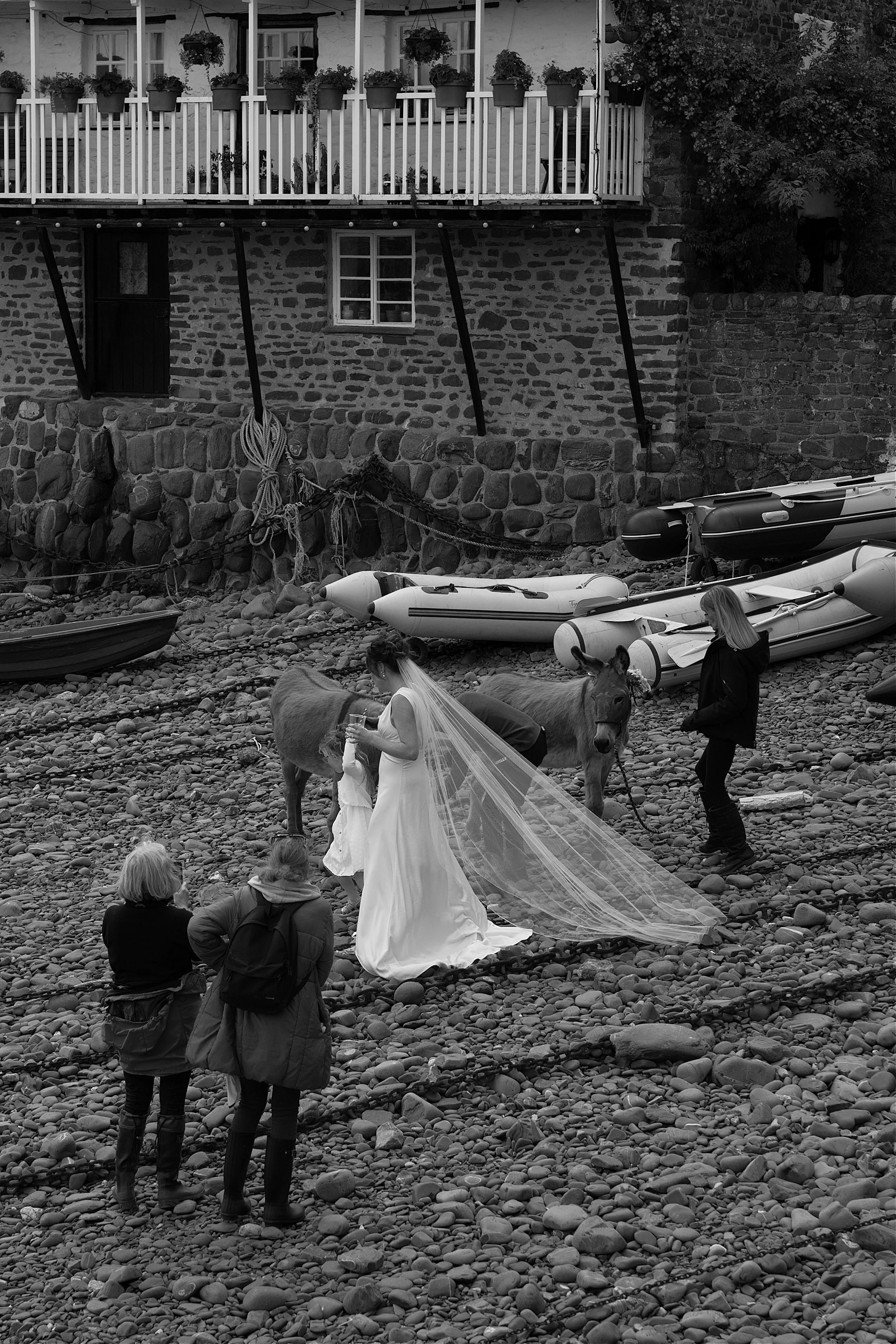
On the day of our visit a wedding reception was being held at the Red Lion Hotel. What a beautiful setting to celebrate a marriage.

Tying the knot at the Red Lion Hotel.

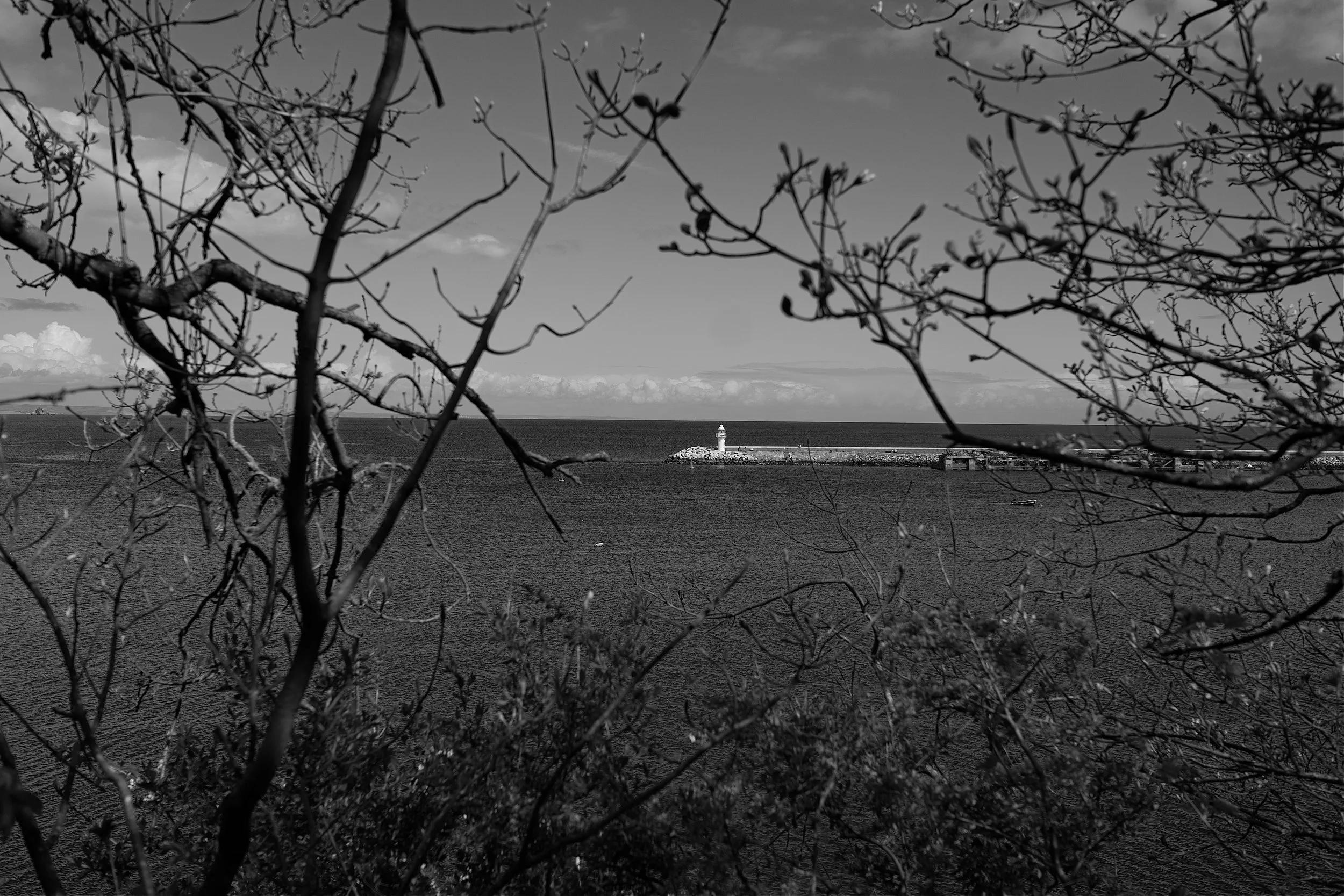
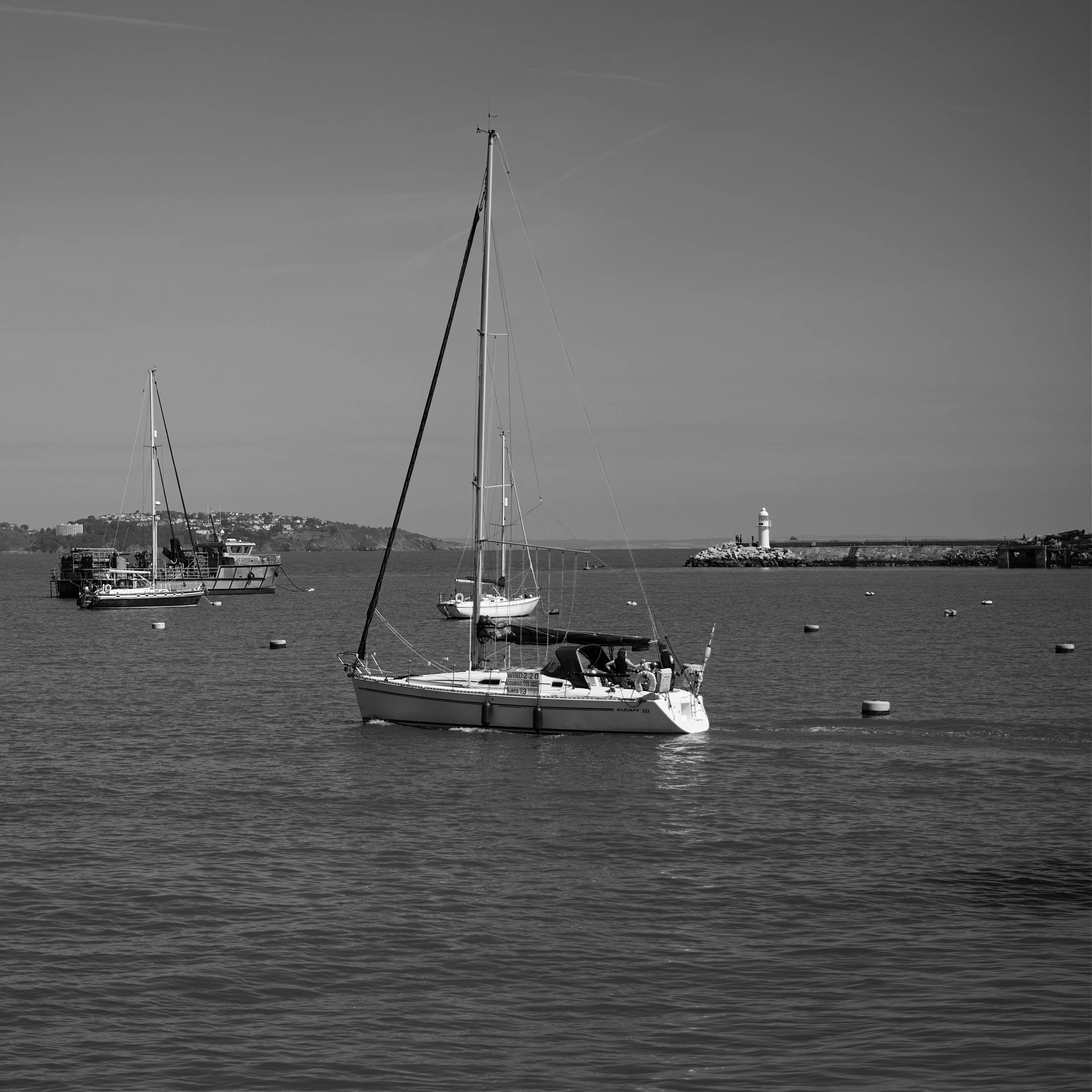
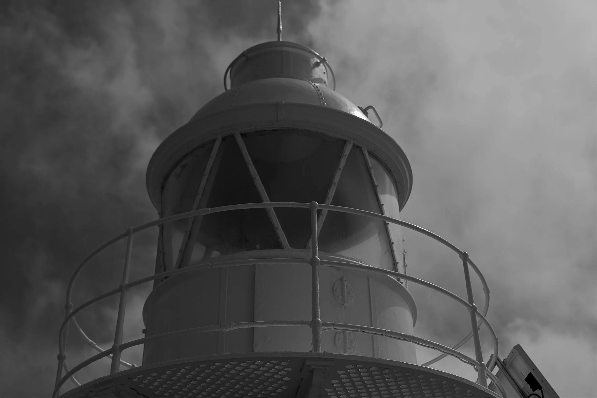
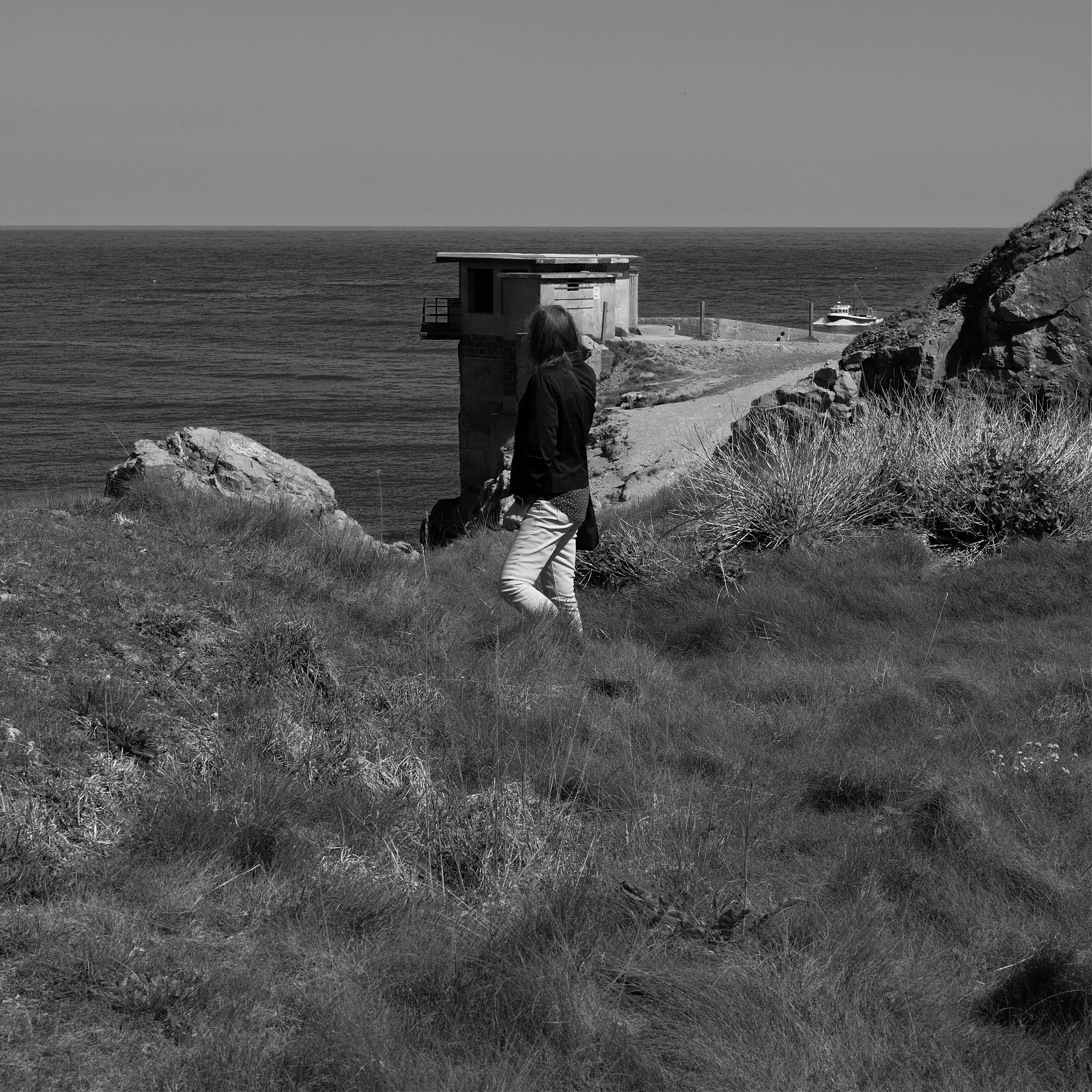
The RNLI lifeboat station.
Unlike gravity, at Clovelly what comes down has to go back up! As I hear you groan there is, for a few quid, a Land Rover that will take you back to the visitors centre. Fear not, the Chivs are made of stern stuff and no Land Rover for us. So, with our usual Churchillian spirit it was head down, loins suitably girded and back up the north face of the Eiger, sorry I mean Clovelly high street! All I can say was that by half way, my hands and legs were shaking and I said my thanks for the excellent image stabilisation of the Leica SL2s.

No stopping for a cream tea on the way back.

Half way there and another opportunity to get your breath back and enjoy the view.

And it gets even steeper!
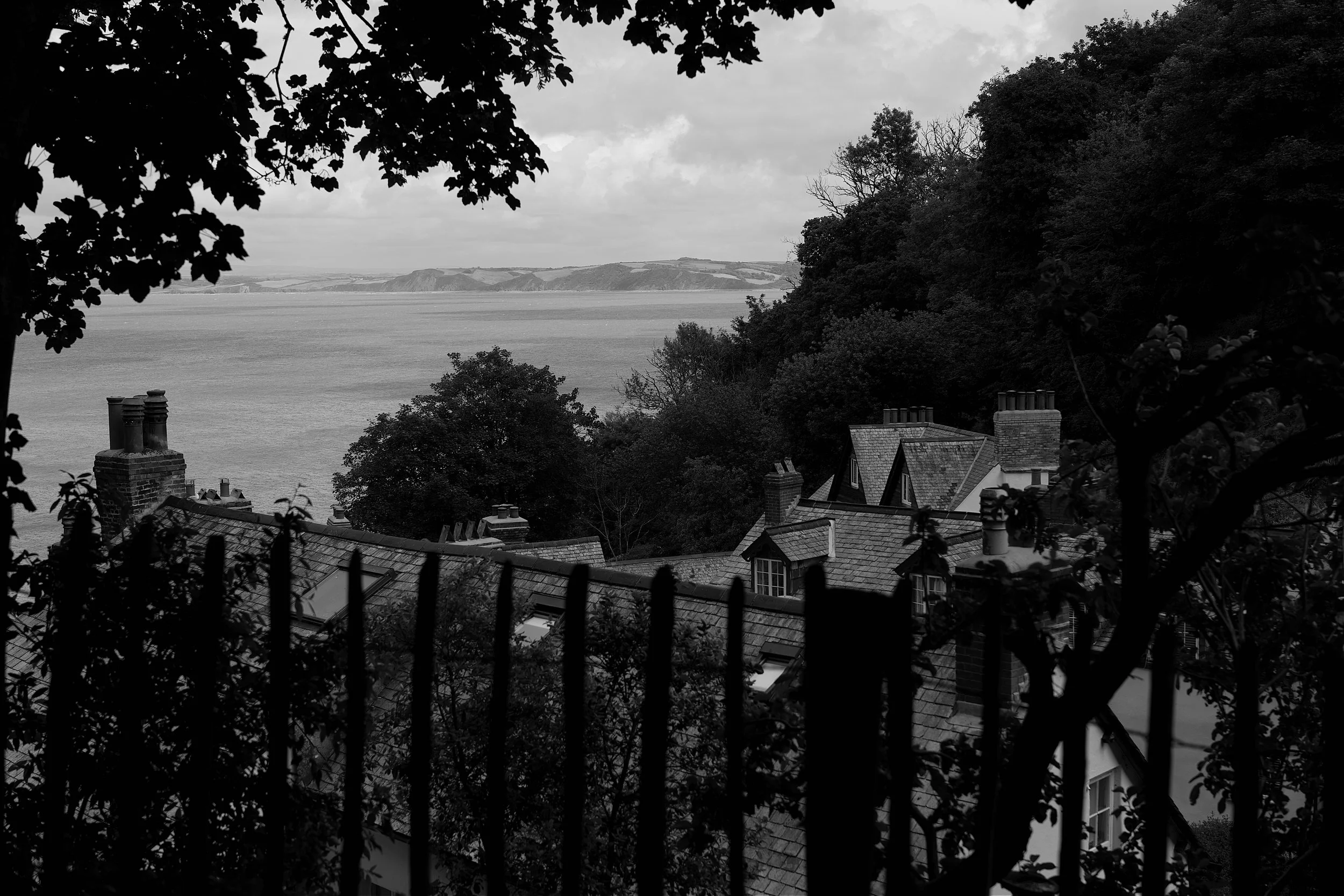
Across the roof tops.

The final furlong!
As we came away from Clovelly I was struck by how much I enjoyed a day that allowed me to step back in time; a village devoid of cars and traffic fumes where everything is transported up and down on large sleds which are pulled by humans not animals. The wifi signal was also very poor so I had a refreshing break from the inter web and all the unnecessary distractions it provides. So, I wholeheartedly recommend a visit to Clovelly and enjoy a day of stepping back in time.

How it was back in the day.
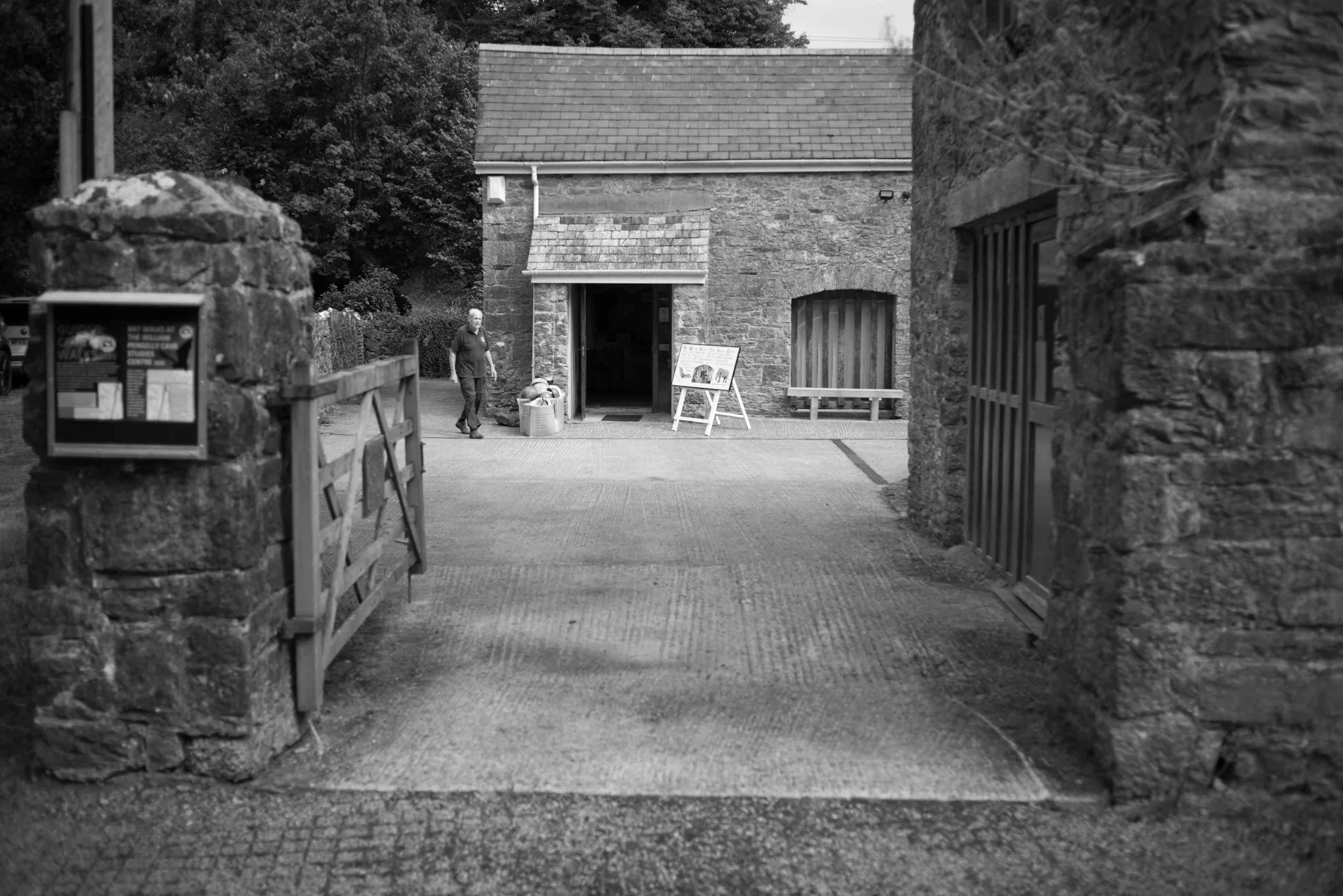
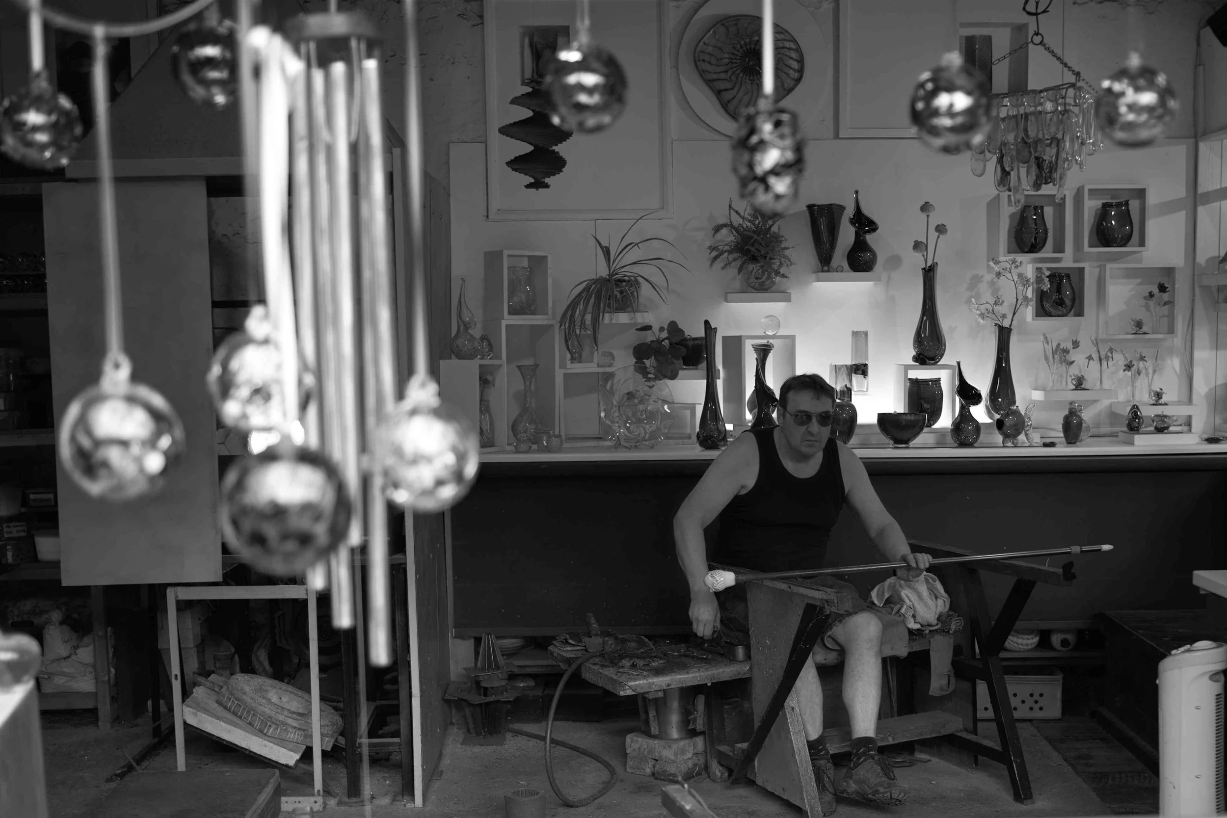
Dartington Crystal Factory.
Question to the reader; “What to do in North Devon when the rain is coming down sideways and you only want to spend a fiver a head?” Rhetorical question and easy answer, visit the wonderful Dartington Crystal Factory. Always best to book your visiting time in advance and the website will tell you the best times to book to ensure you see maximum activity.

The Crystal Factory awaits.

A bit of background reading.
If ever you walk in to Selfridges or Harrods and see Dartington Crystal and wonder why it costs what it costs, then after a visit to the factory you will certainly have a much clearer understanding of the term “handmade”.
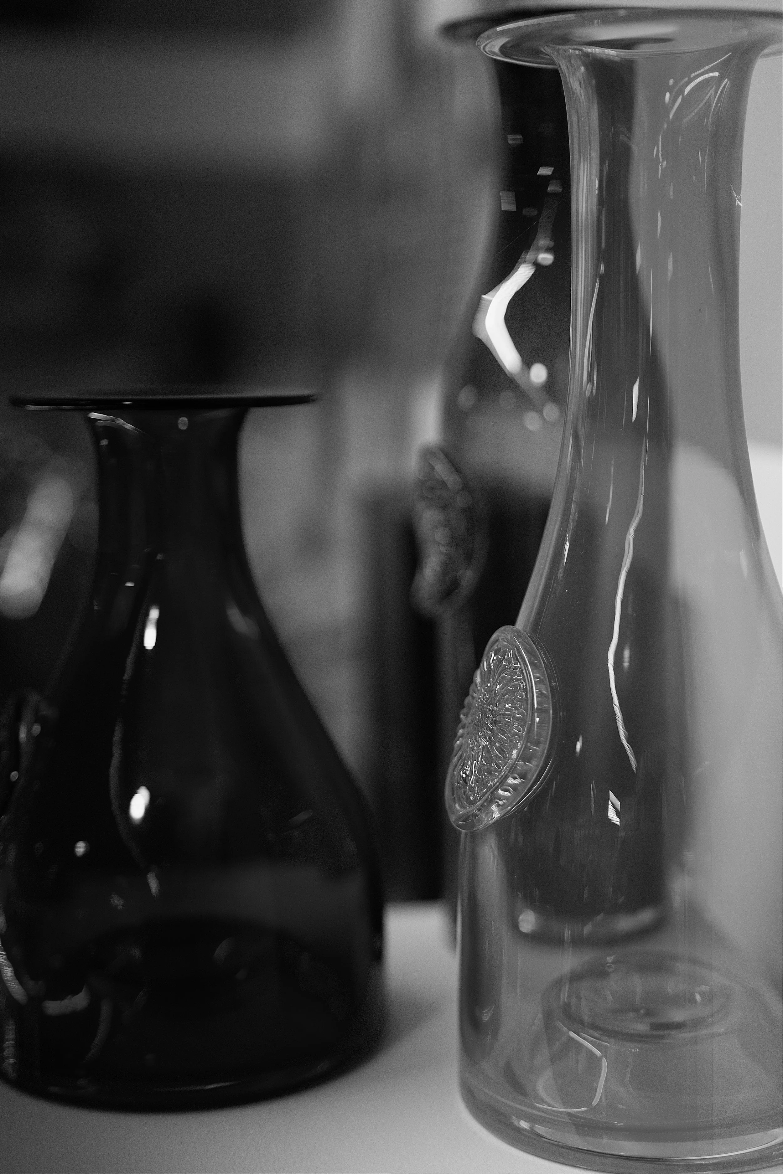
Everything is handmade to exacting standards.
I love beautifully designed, handmade, ergonomic items and I guess this is why I am a fan of Leica. When you enter the visitor reception you are first directed to a small cinema, where you get a brief history of the factory and how it developed in to what it is today.

Everything is engraved by hand and he has been doing it for over 20 years.

The hands of a true craftsman.

Head Designer inspecting the manufacture of one of her new designs.

The production line.

Turning, centrifugal force and an extreme amount of good judgement helps to shape the glass.


Nothing is left to chance. If it is not perfect it gets rejected.

The glass blower making a vase.

Ensuring the vase is perfectly round.

You guessed it, Uncle Phil had to get in on the act.
We spent about an hour and a half in the factory and I found the whole process completely absorbing. Next time you see a piece of Dartington Crystal you can now be assured of where and how it was made.
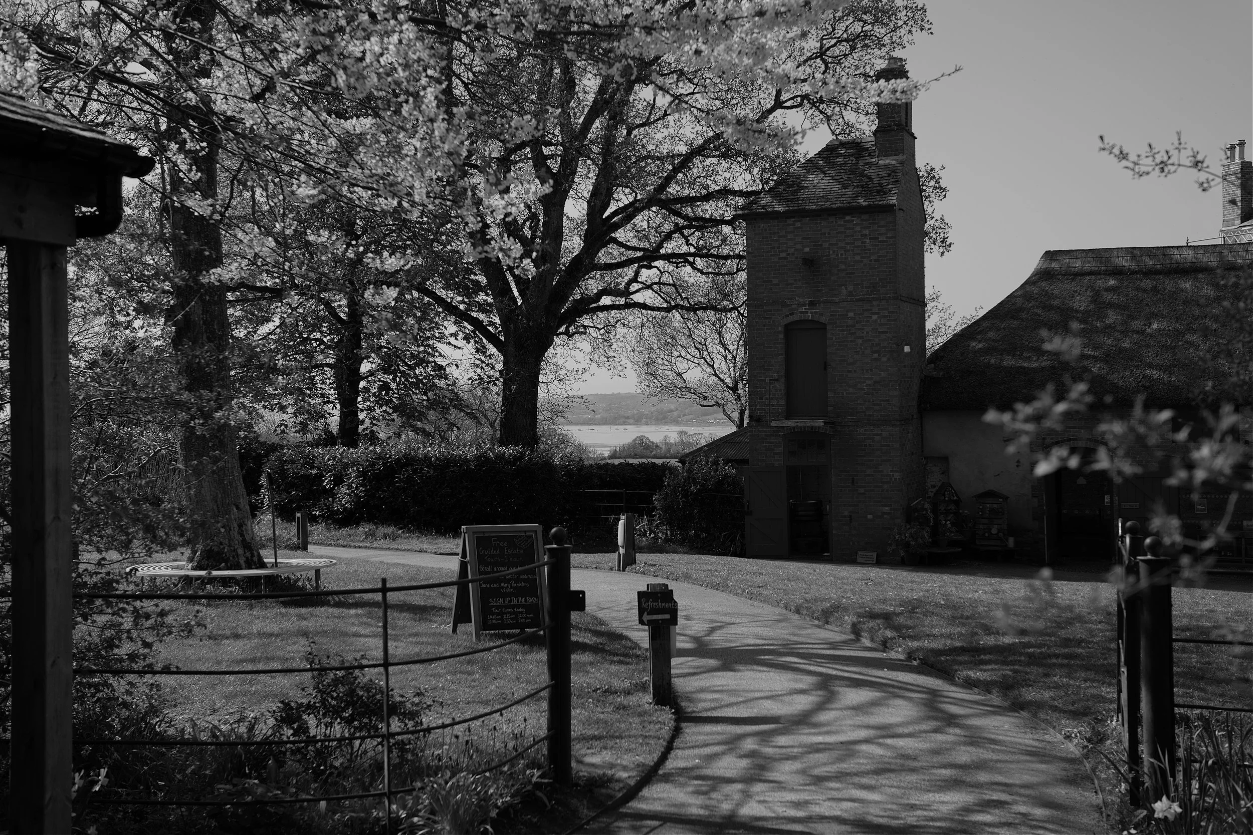
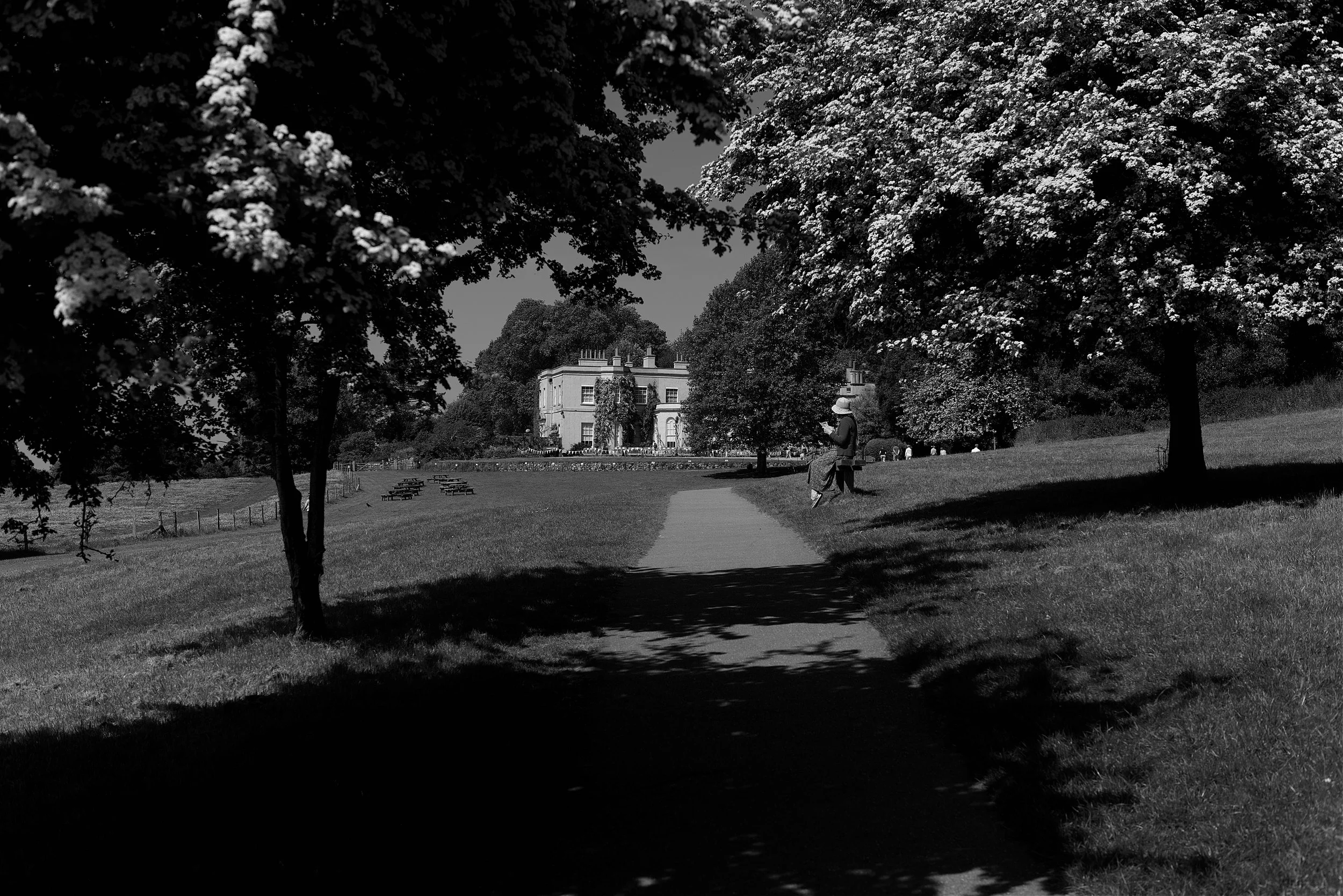
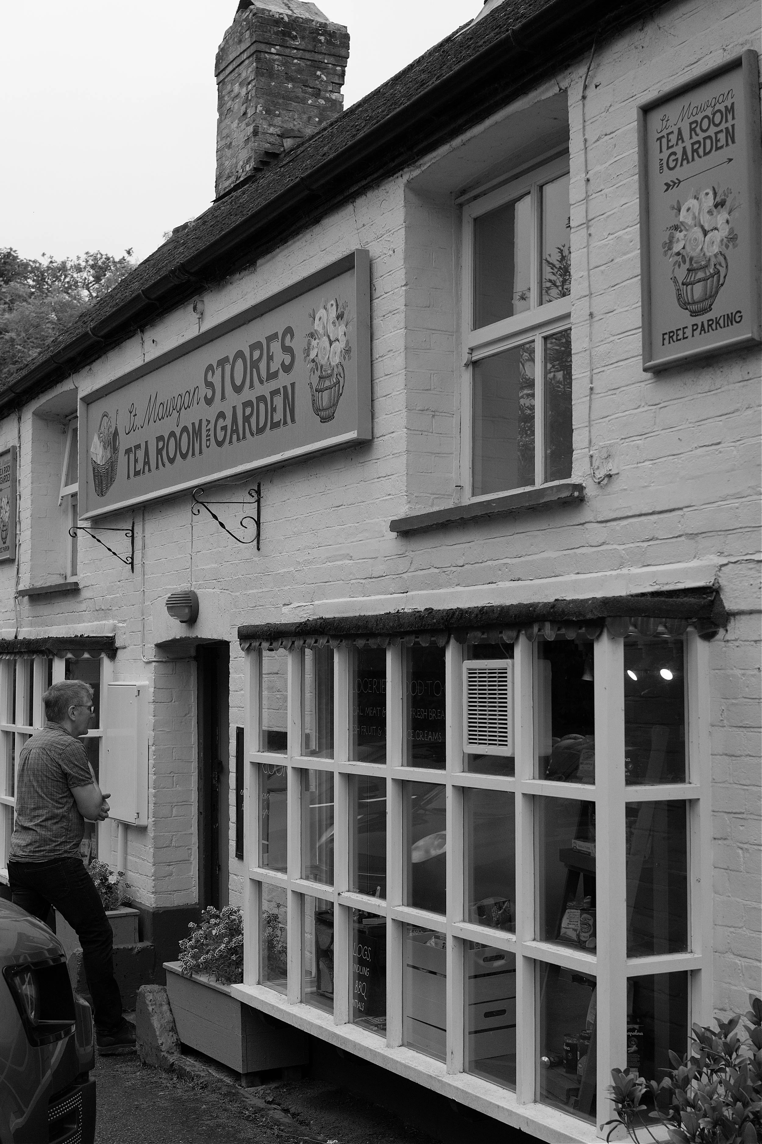
Saint Mawgan.
St. Mawgan or St. Mawgan in Pydar is a village and civil parish in Cornwall situated some four miles northeast of Newquay. The village is nestled alongside the River Menalhyl in the vale of Lanterne.
For Mrs. C and me a visit to St. Mawgan brought back so many happy memories of when we rented the old Rectory and brought all the family together for a summer holiday.
The Japanese Garden had piqued the interest of Aunty Jackie while the local St. Mawgan Tea Room had piqued mine! I generally find that starting the day with a good coffee and a toasted tea cake is the way to go and on both counts the St. Mawgan tea Rooms excelled.
Yet another of my happy places.

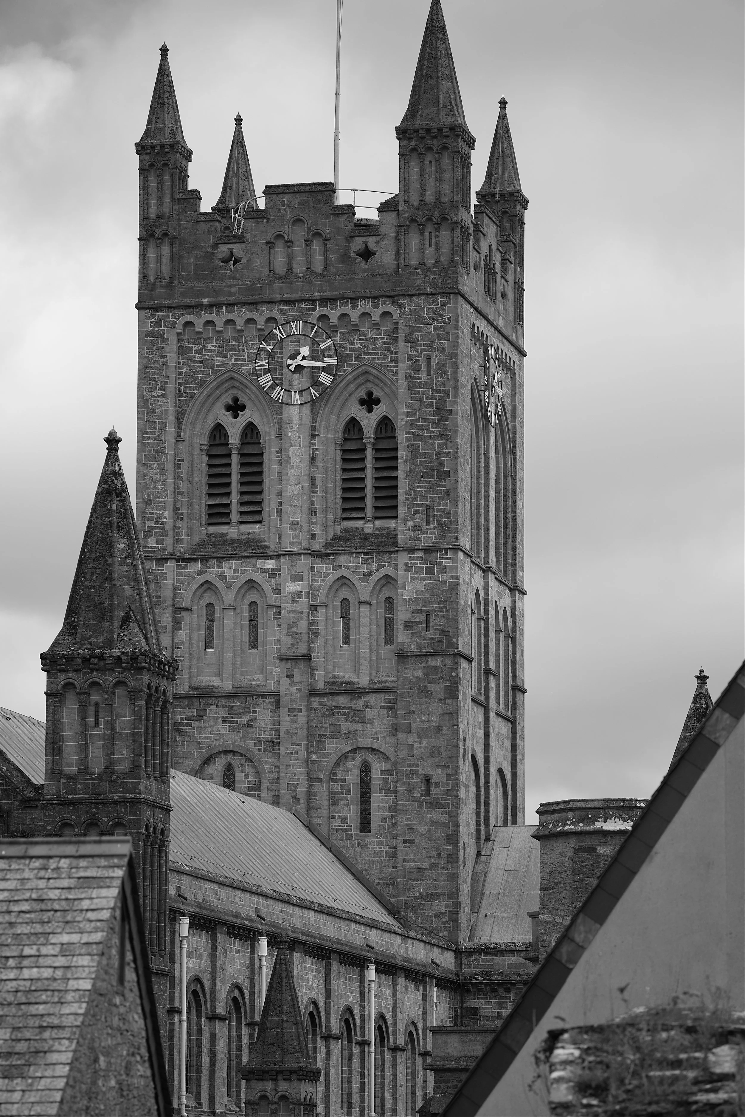
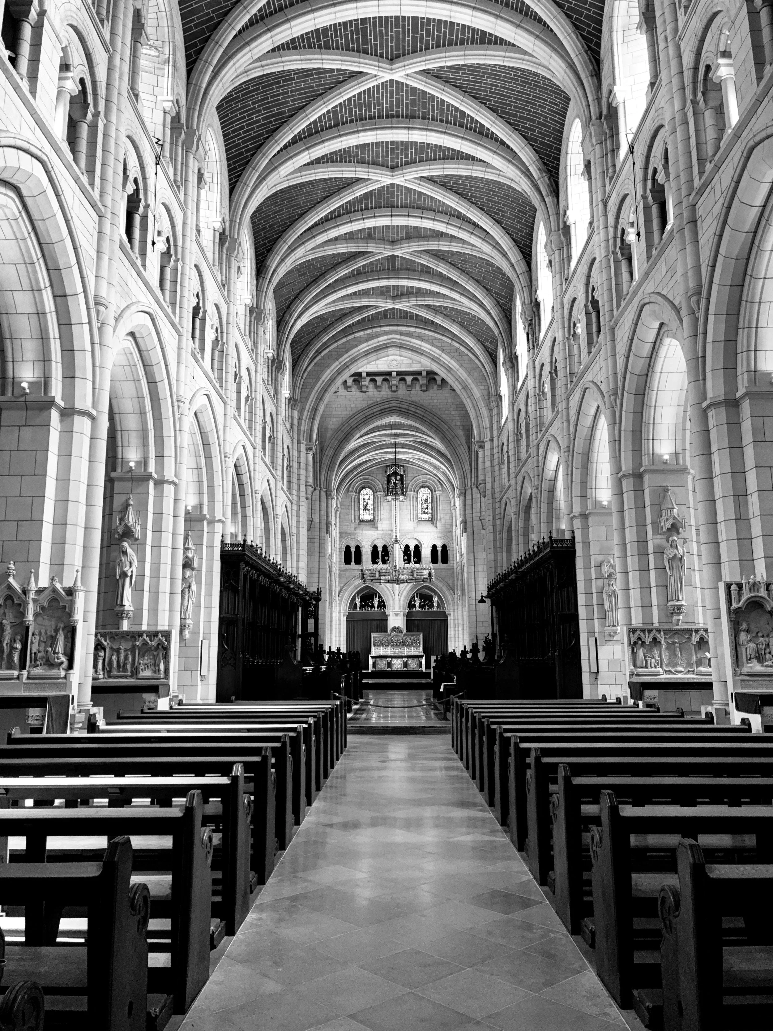
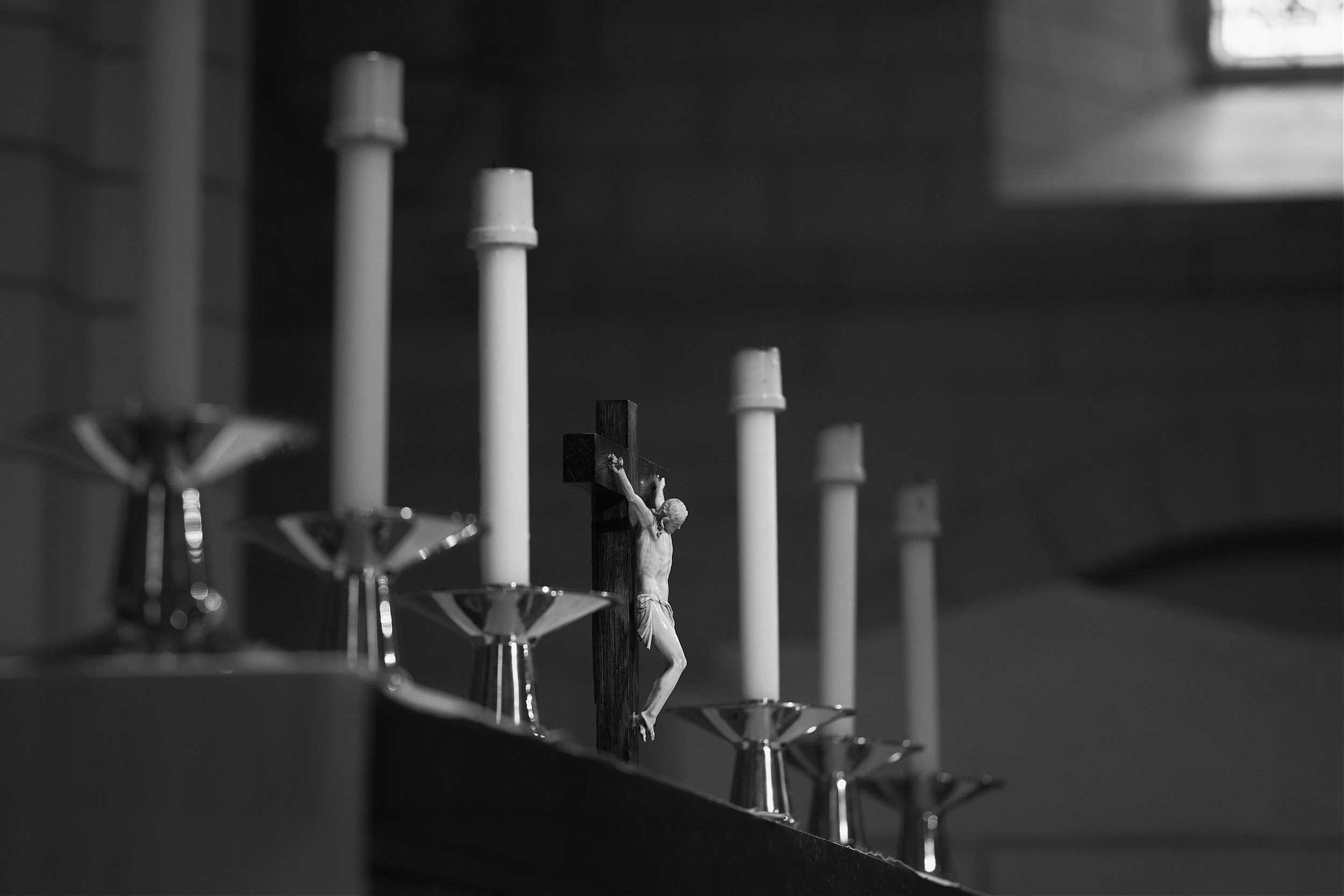
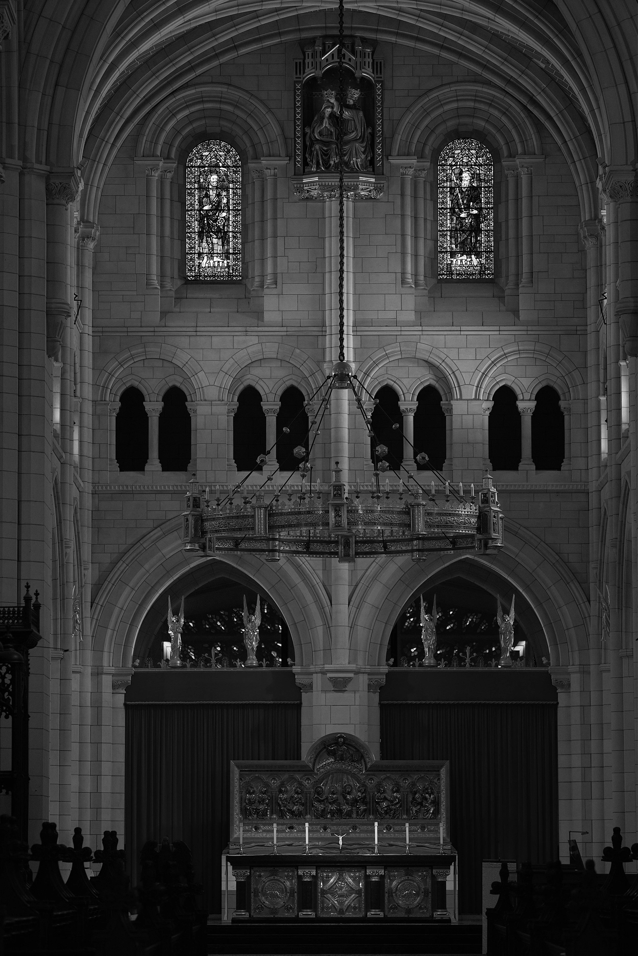
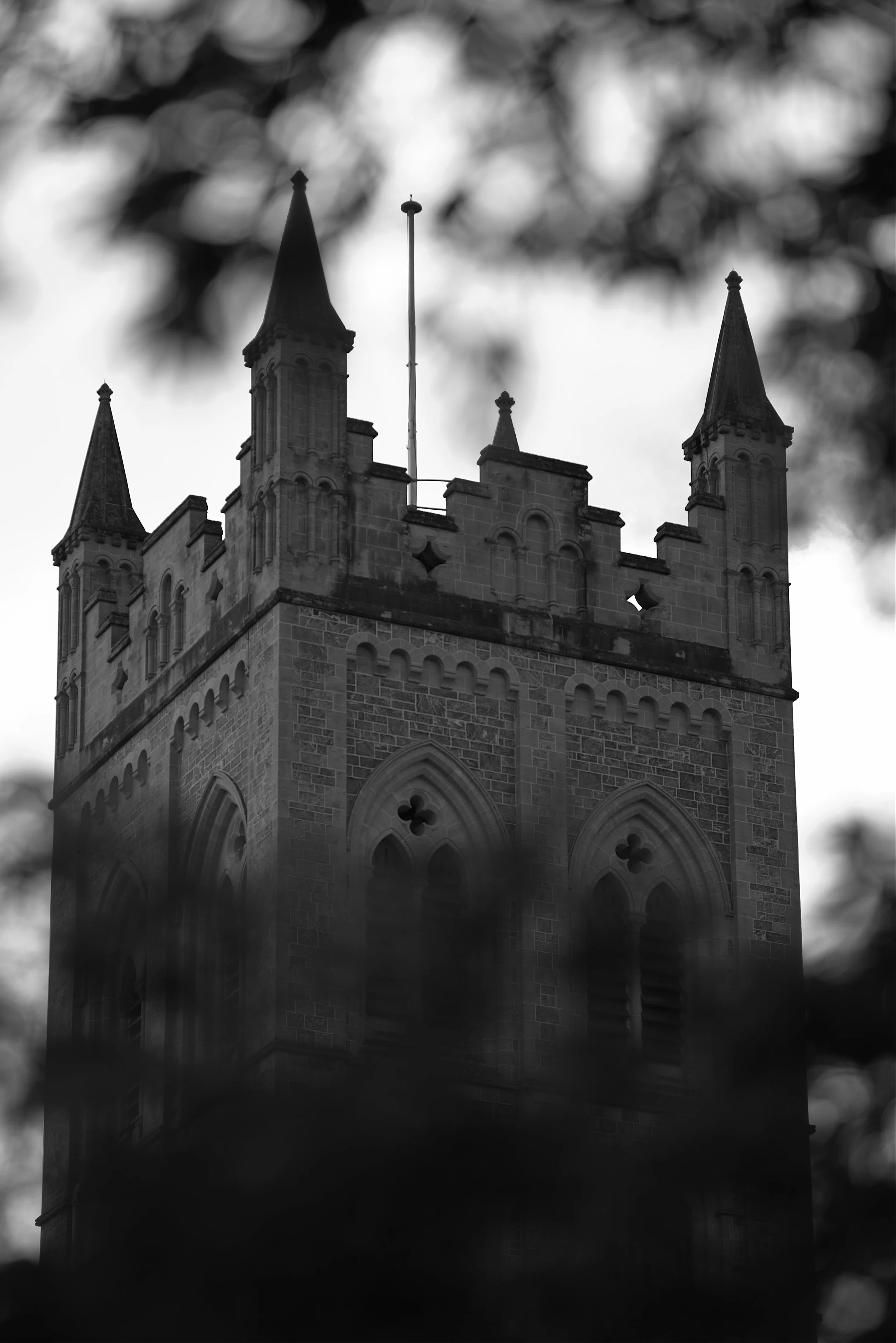
The beautiful 13th Century church.


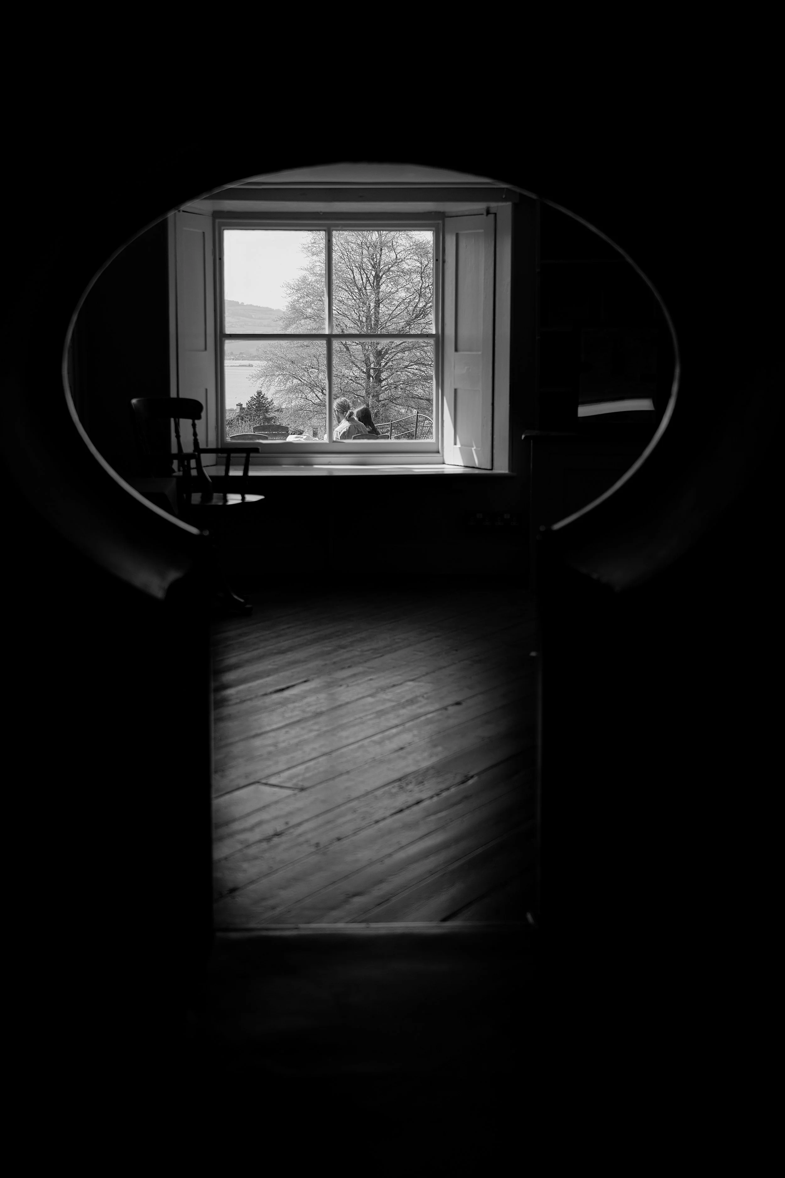
The Japanese Gardens at St. Mawgan.
For those readers who are still with me, thank you! You will already know my feelings about plants and monochrome photography. However, I felt that the Japanese Garden would have subject matter which I would find interesting, and I was not wrong.


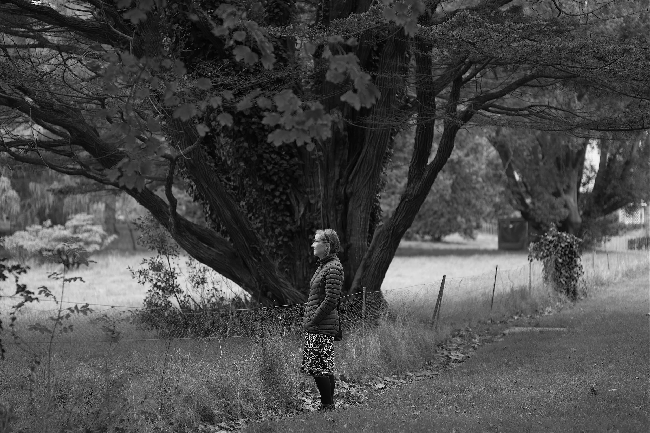
I had been trying all holiday to capture an image of Aunty Jackie and Mick and finally, the Japanese Garden provided the light and the setting I was looking for.

Should you have both the time and the weather the nearby Mawgan Porth sandy beach and coastal hamlet is well worth a visit. However, as the weather turned and the rain reached horizontal we decided to leave that for another day.
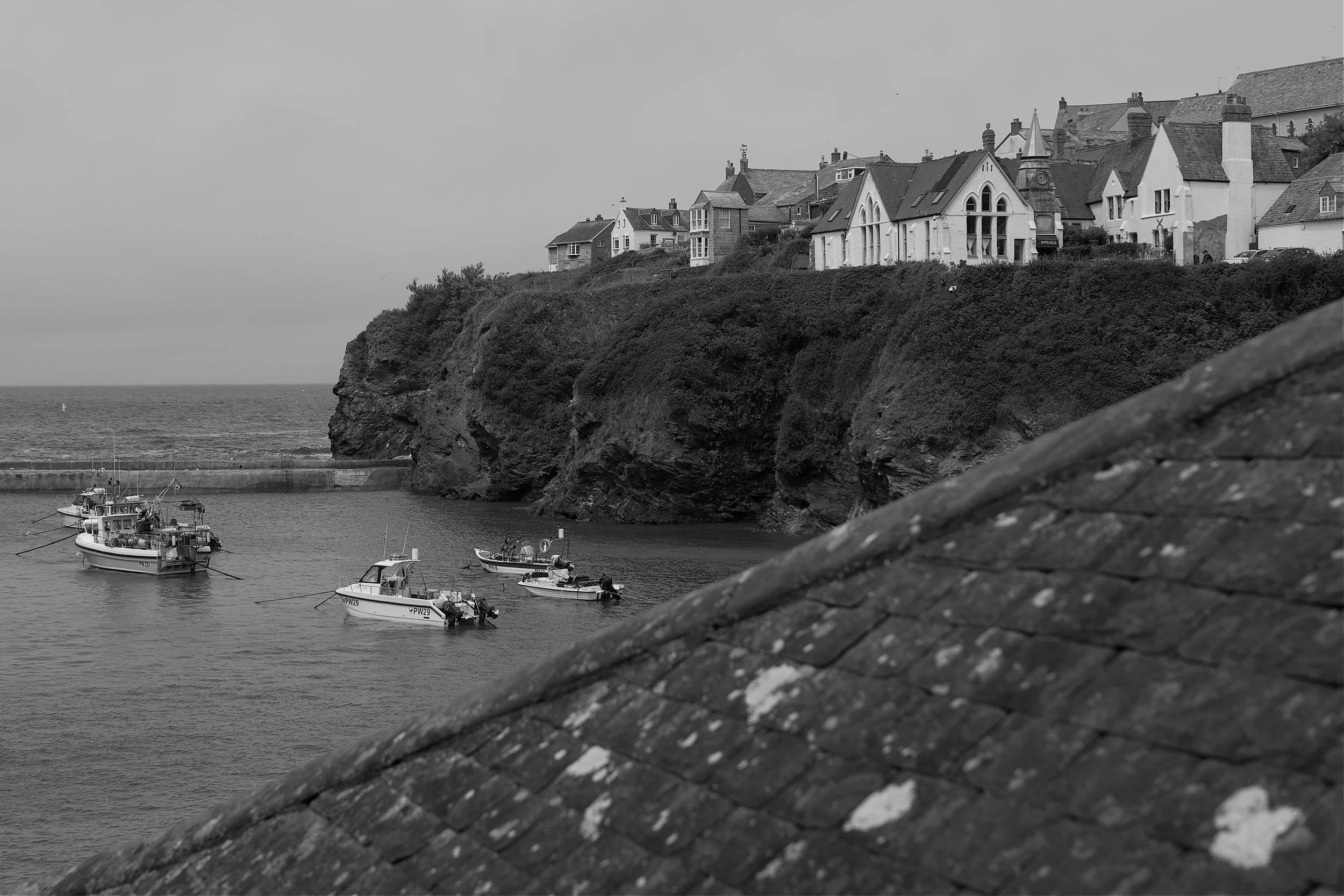
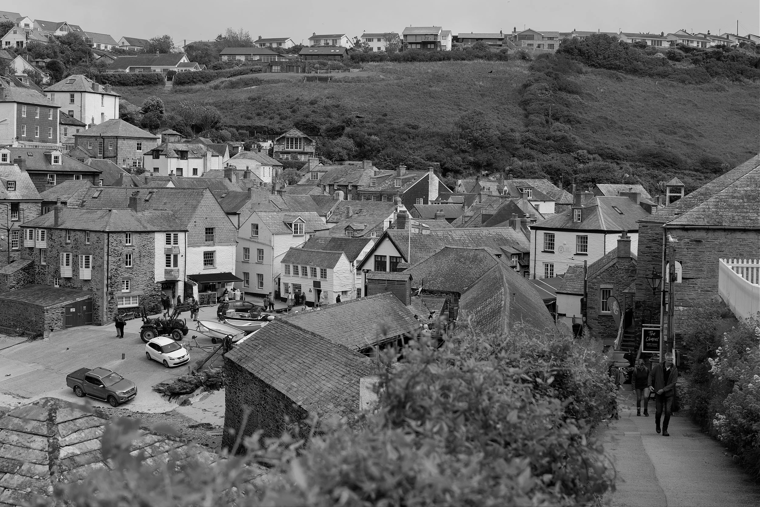
Port Isaac.
Fans of the much loved T.V. series “Doc Martin”, situated in the fictional Cornish village of Portwenn, will instantly recognise Port Isaac as the village where the series was actually filmed.
Again Port Isaac is tiny and if you arrive by car there is ample parking about a 30 minute walk from the centre of the village. Do not attempt to take your car in to Port Isaac as there is nowhere to park and you will have a nightmare trying to navigate the tiny streets.
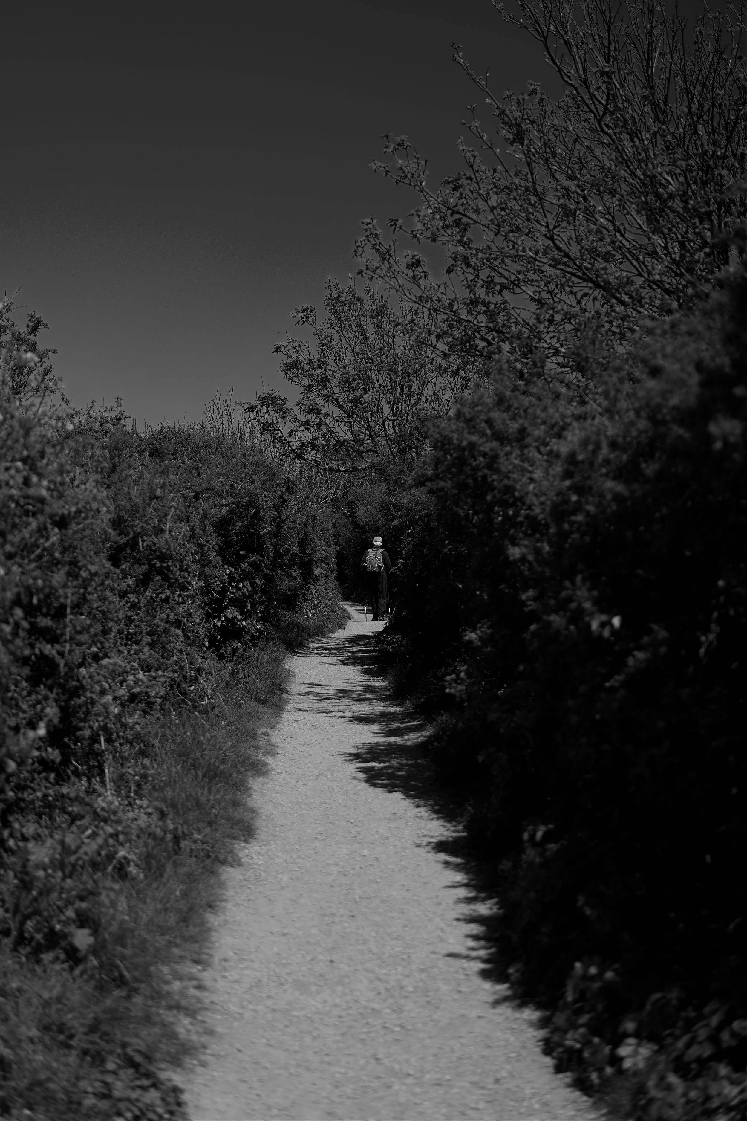
Word to the wise, the walk down the hill in to the village is steep so you know what I am going to say about the walk back…..it is not for the feint of heart.

Doc Martin’s surgery located on the hillside above the harbour.

The centre of town.
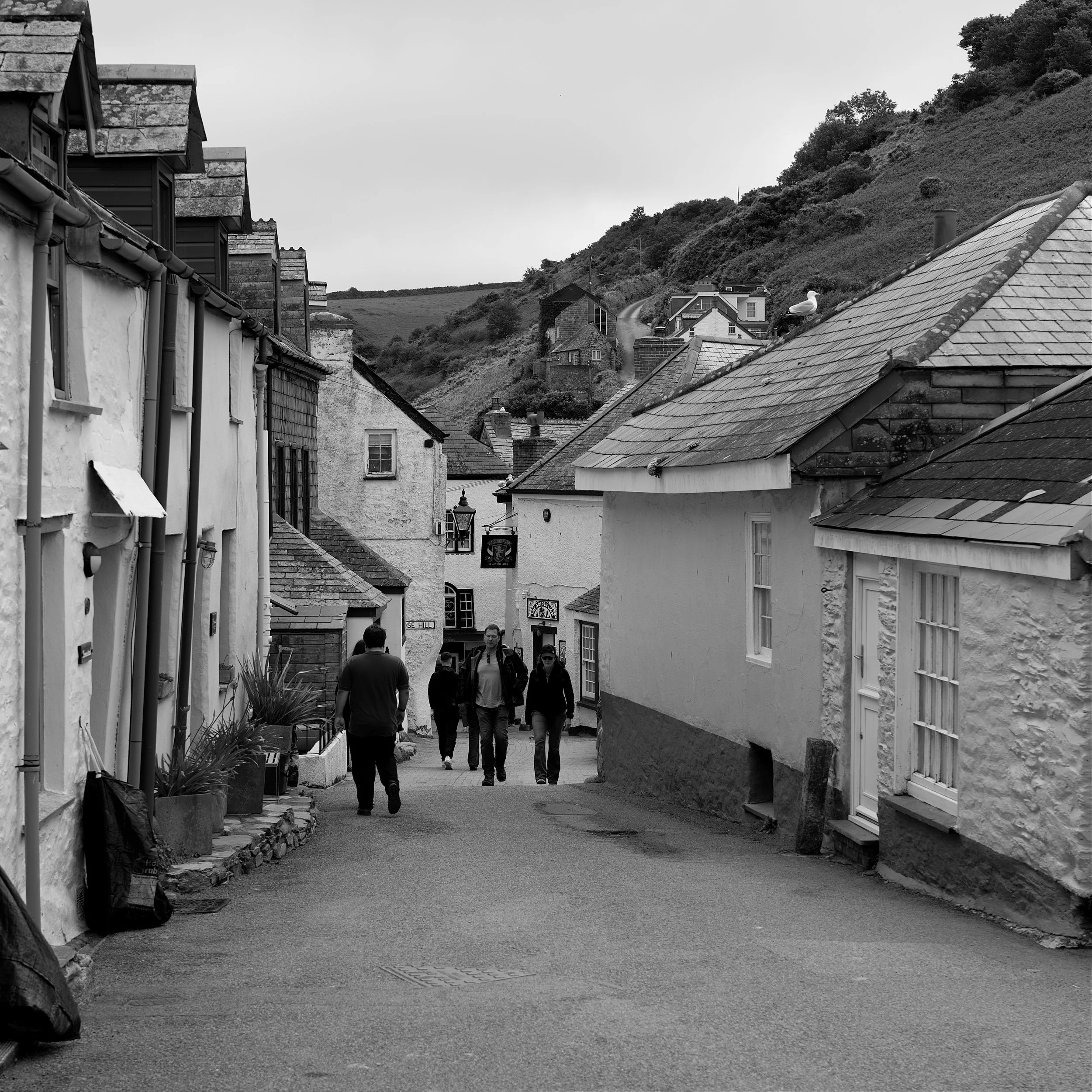
Narrow streets of a typical Cornish fishing port.

The school in the T.V. series is now a restaurant.

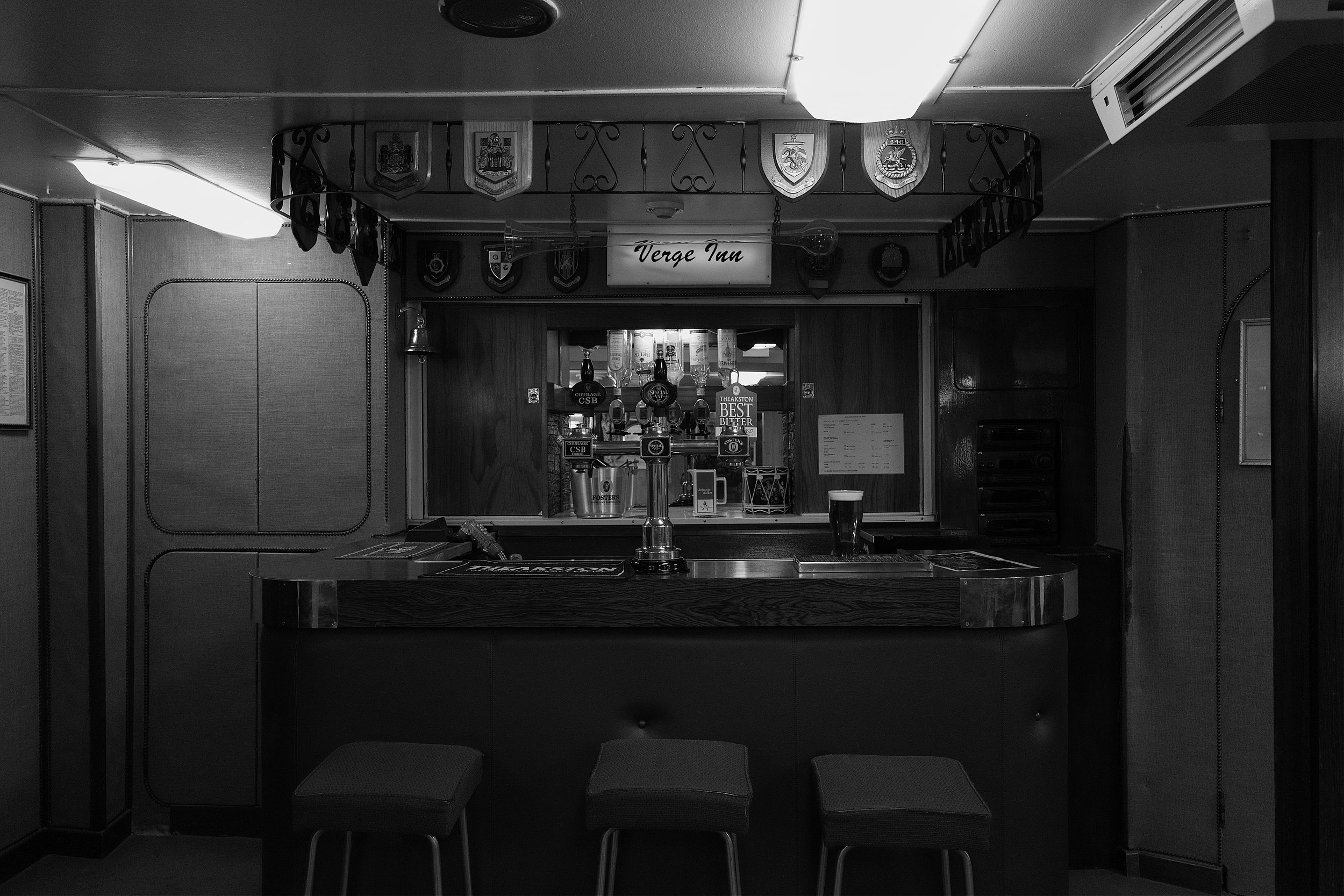
Ah, the Golden Lion Pub, a perfect spot for a pint of the local Cornish marching juice.

For all of you who are partial to meat and pastry, a stop-off at Nicki B’s pasty shop is a must. I bought seven large steak pasties for dinner and it’s fair to say they were absolutely delicious. So if you are in Port Isaac and fancy a slice of Cornwall, Nicki B’s is the place.

Providing a slice of Cornwall.


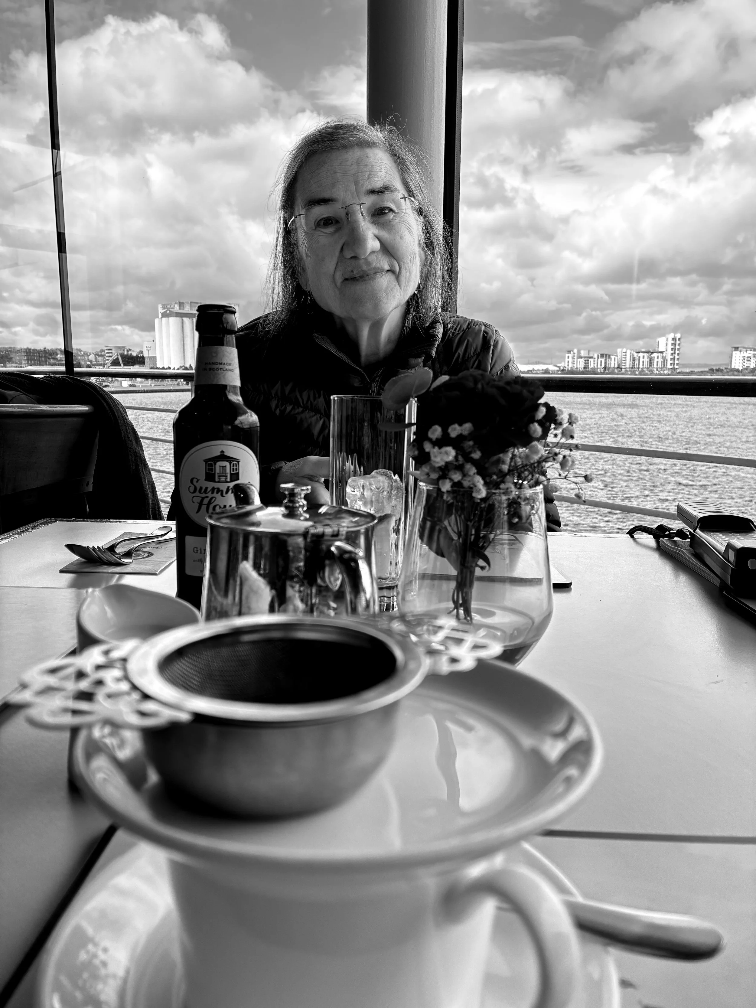
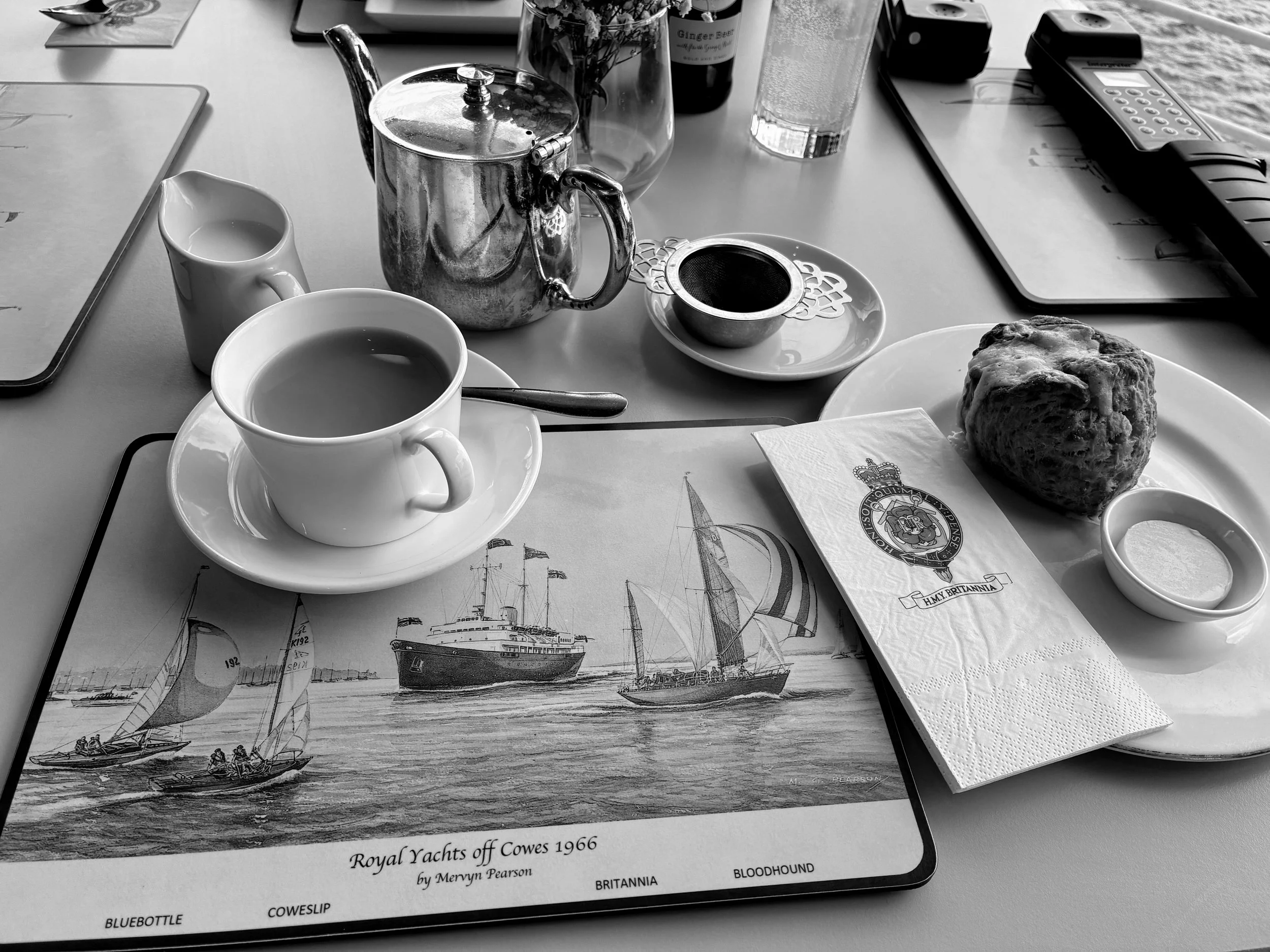
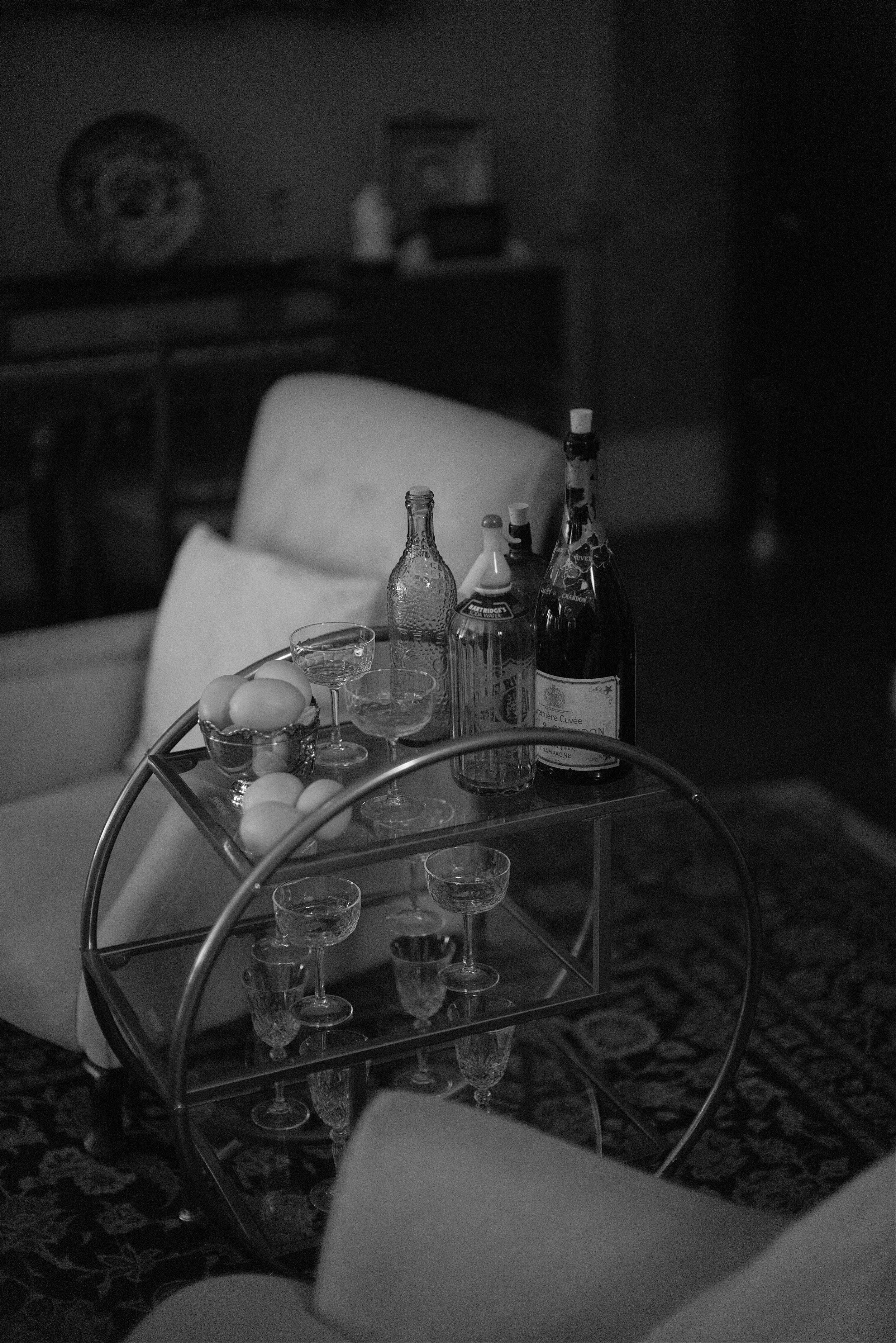
Now I know you will have been saying that aside from the purchase of pasties I have not mentioned food and drink. Well, fear not, we took lunch at the Chapel and was not disappointed.

The Chapel Tearoom.

Another opportunity to capture a portrait of Aunty Jackie and Mick.
Across the rooftops.
A final view of the lovely Port Isaac.
What a loverly day we had in Port Isaac and one to strike off our bucket list. For sure the walk back to the care was a struggle (I knew I shouldn’t have had that extra cream cake) but it was worth it.
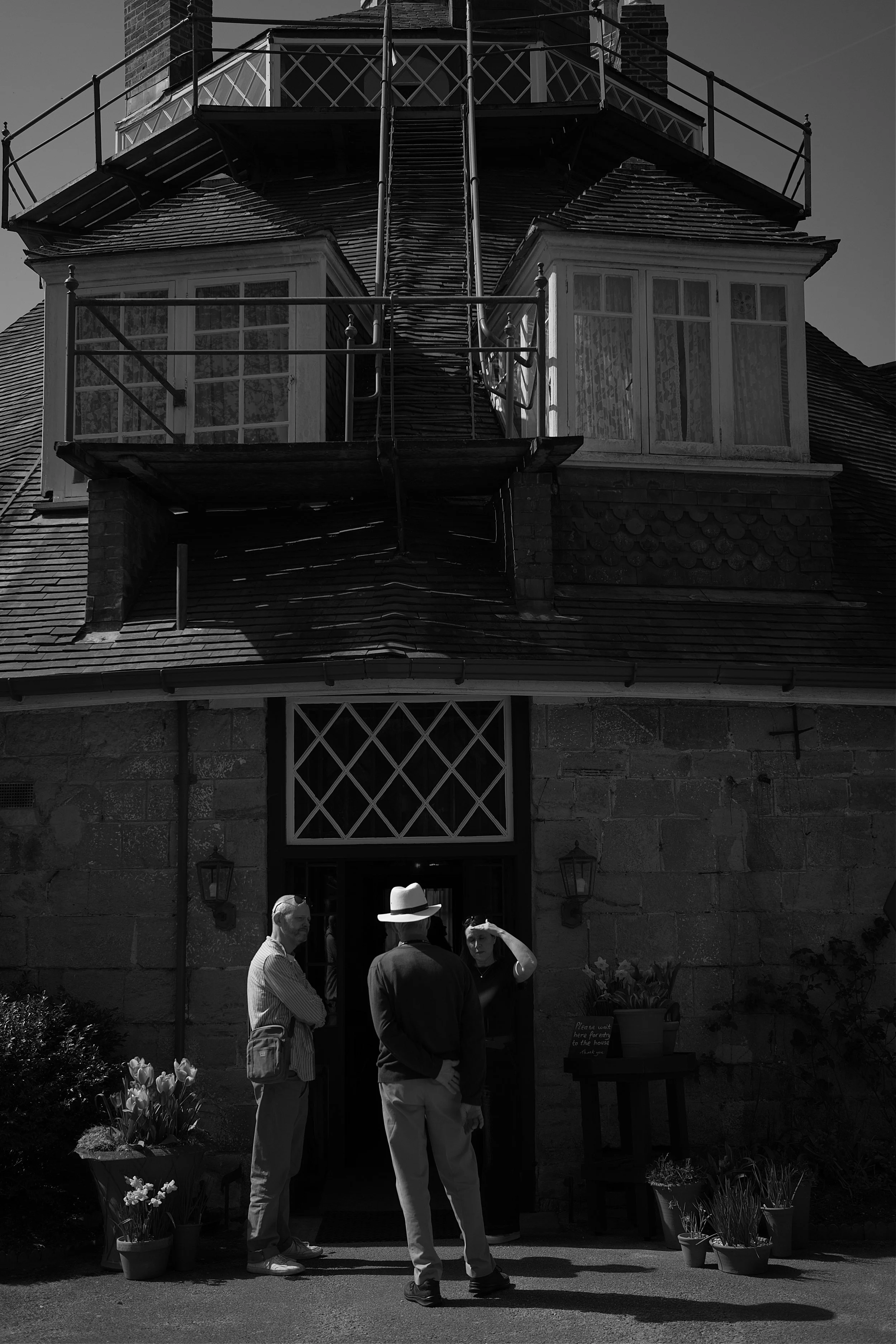
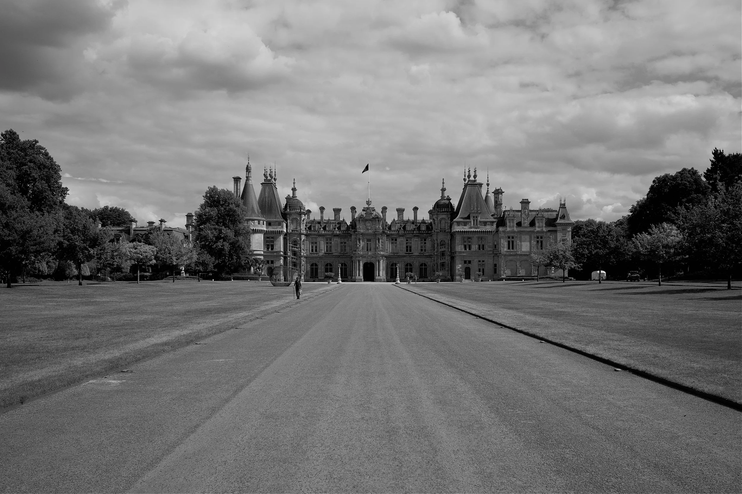
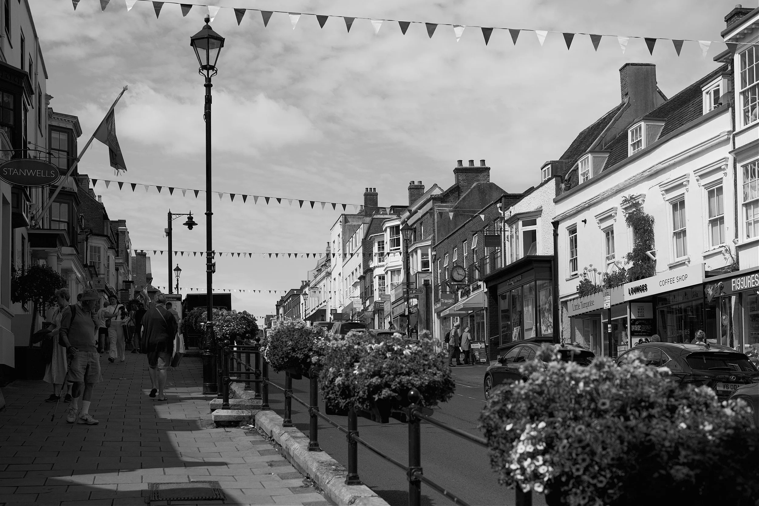
Tavistock.
After such a great week there was only one way to finish up; a visit back on to Dartmoor and the lovely market town of Tavistock. Why Tavistock I hear you ask? Well there are two reasons; firstly a visit to the local Pannier Market and secondly our favourite restaurant in the South West of England, Chef John Hooker’s Cornish Arms.

The Cornish Arms which hosts our favourite restaurant.
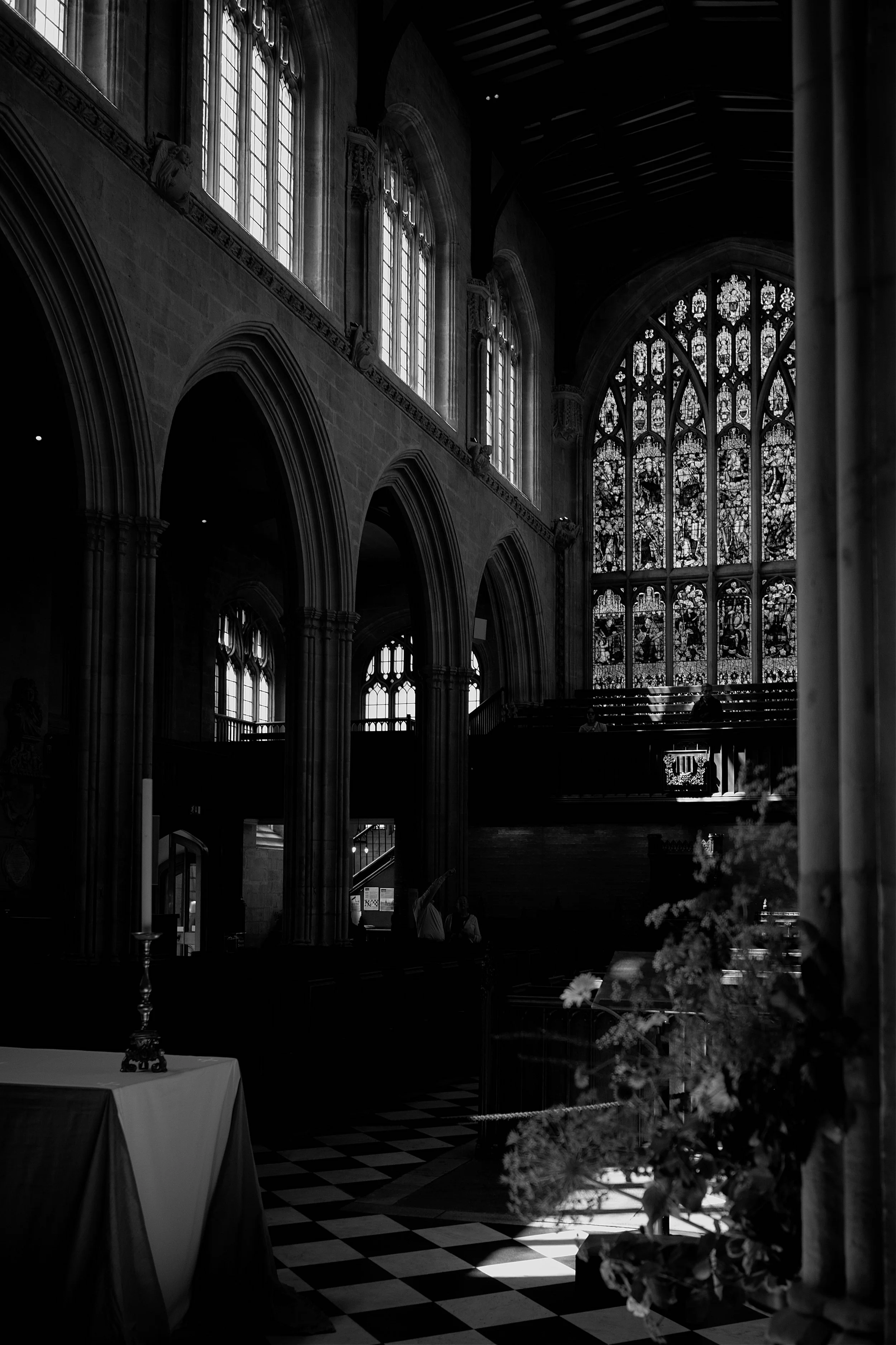
Following a sumptuous meal at the Cornish Arms (I had scallops followed by venison) we walked around the town where there was ample opportunity to scratch my photographic itch as I broke out the 50mm Noctilux and went all F0.95. Why?…..because that’s how I roll!
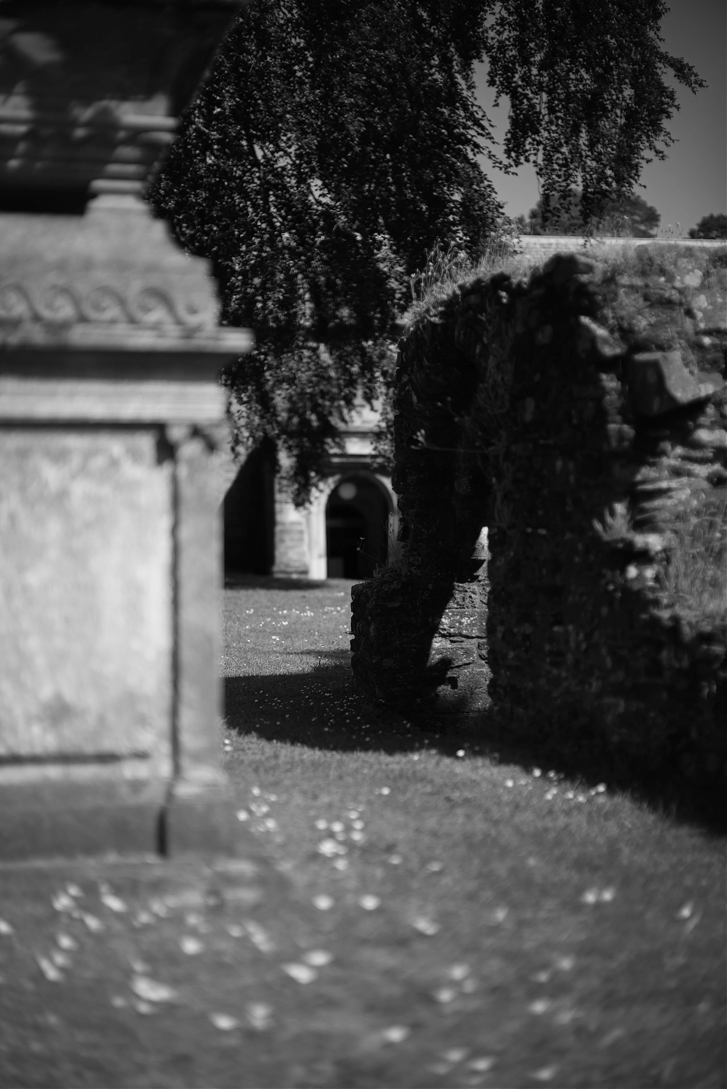
The old church being given the full Noctilux.
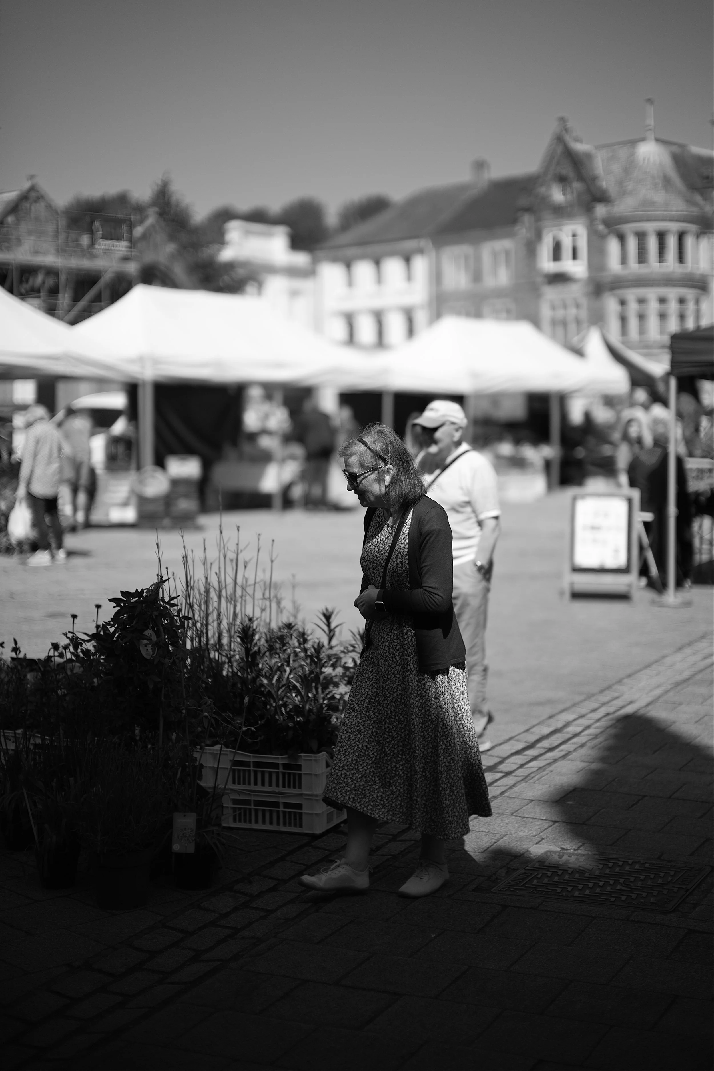
Mrs. C helping Aunty Jackie choose some plants.

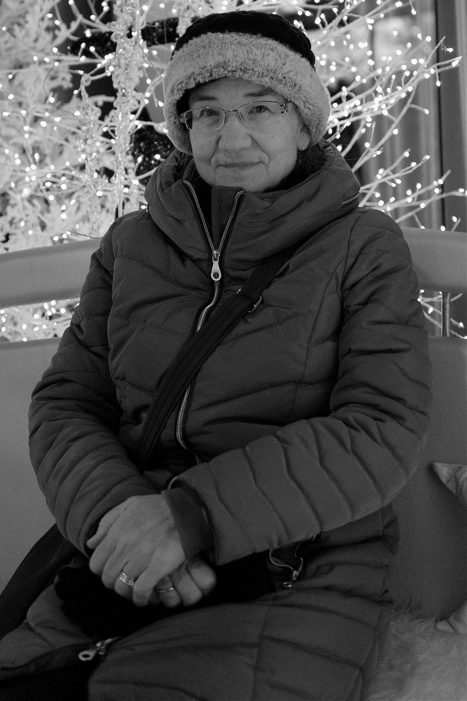
Old Grumpy himself, Aunty Jackie’s father Mick.

Enjoying the light and embracing the shadows inside the Pannier Market.

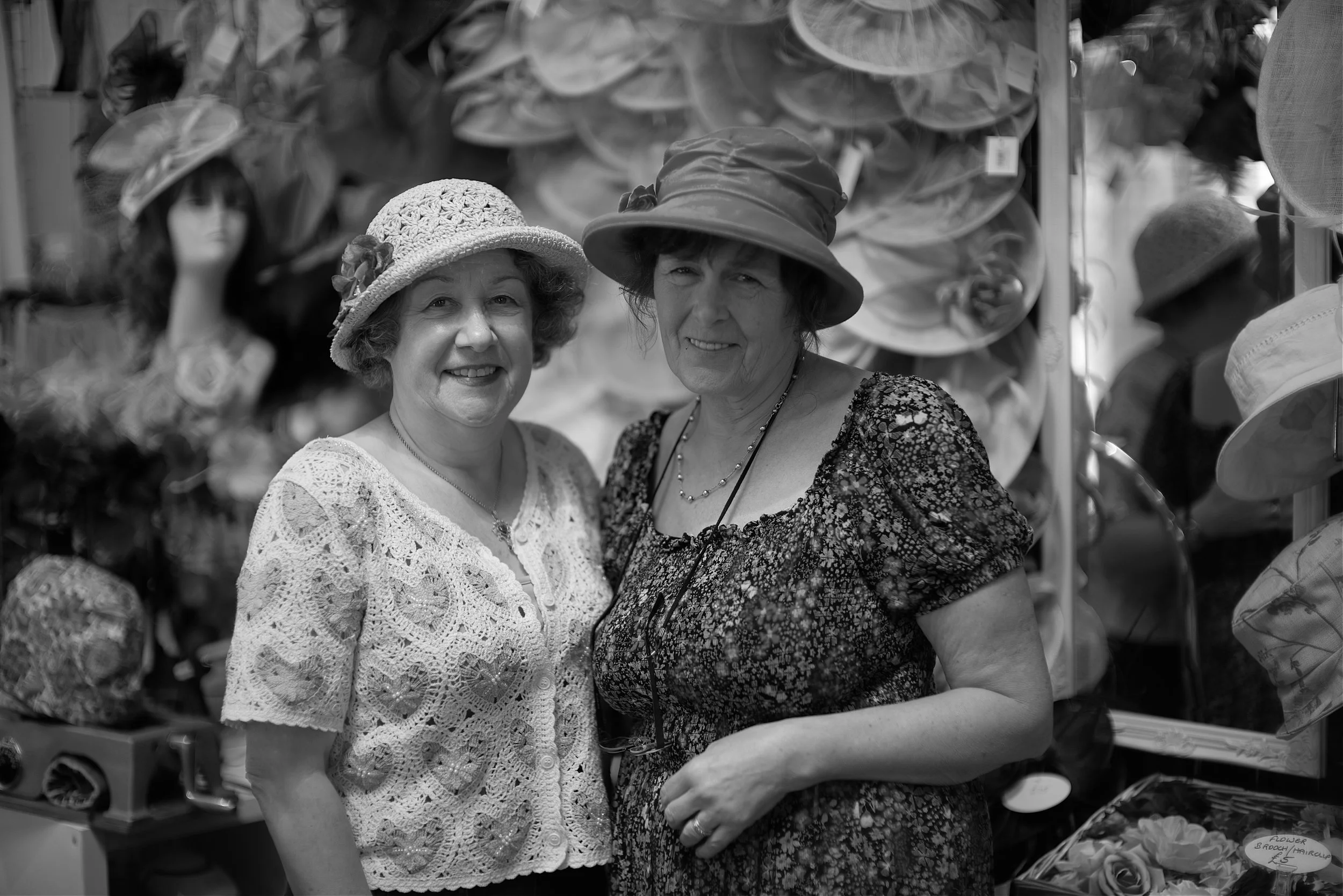
The lovely ladies who run my favourite hat stall - I believe there is a hat for every occasion.

Mick and Uncle Phil taking a stroll around the market.

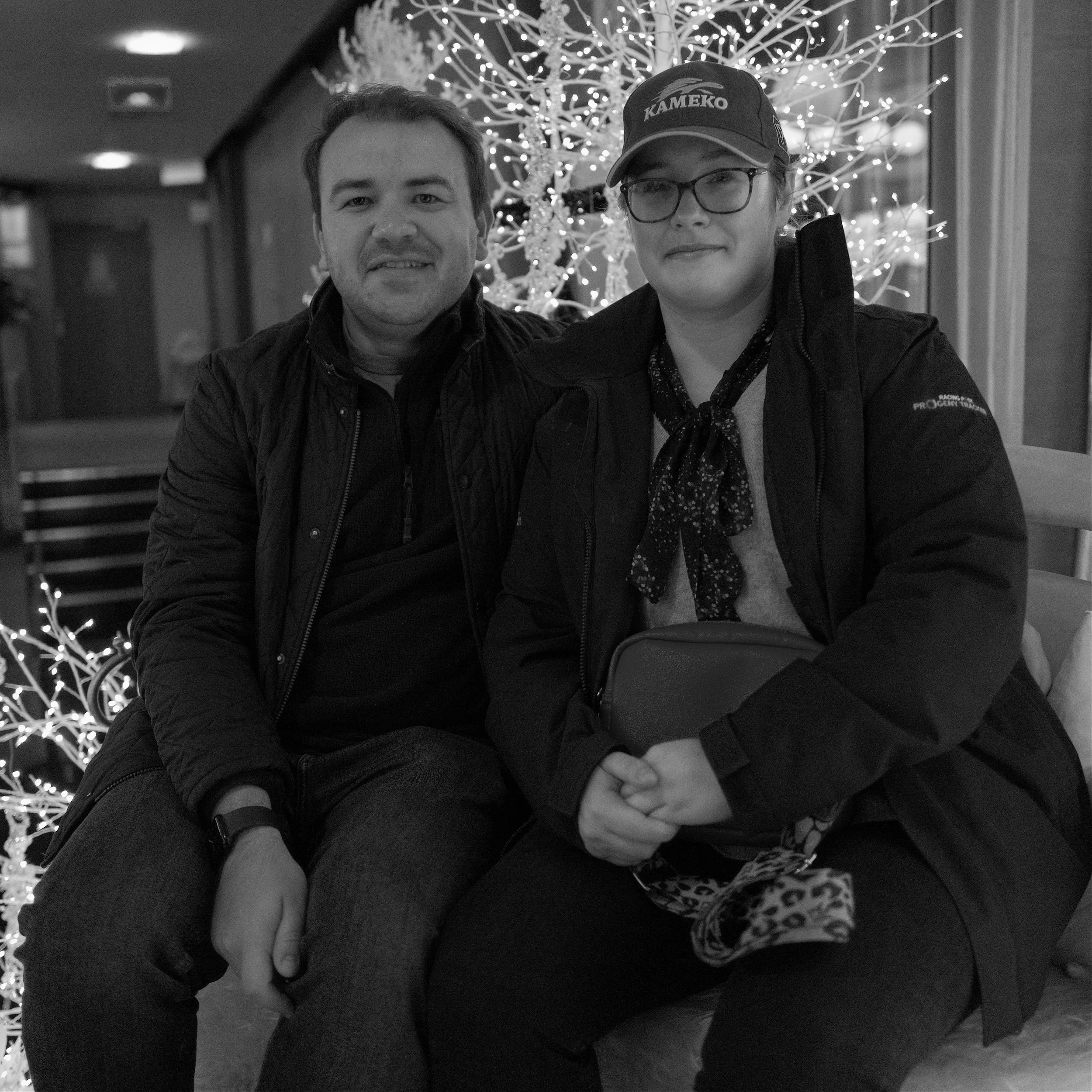
Harry finding the shopping all too much.
Phew! So there you have it, a week in North Devon and what a week it was. My thanks to Uncle Phil for inviting us and I hope you have enjoyed joining us for this North Devon adventure and that I have inspired you to take a visit to this wonderful part of the South West of England.
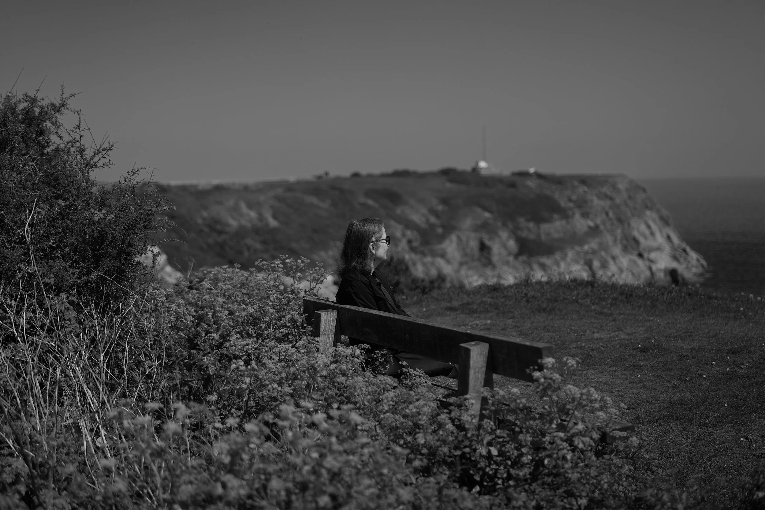
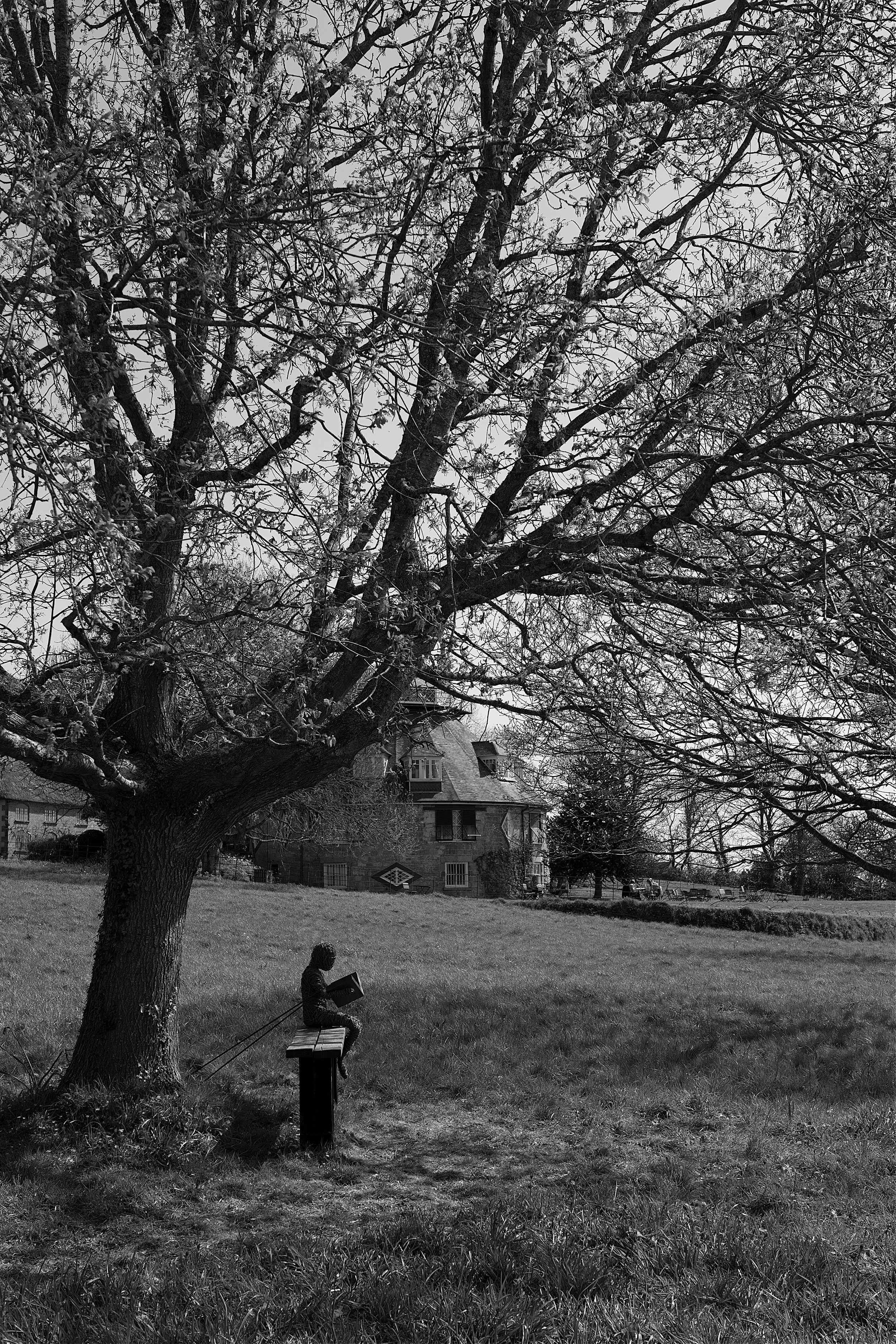
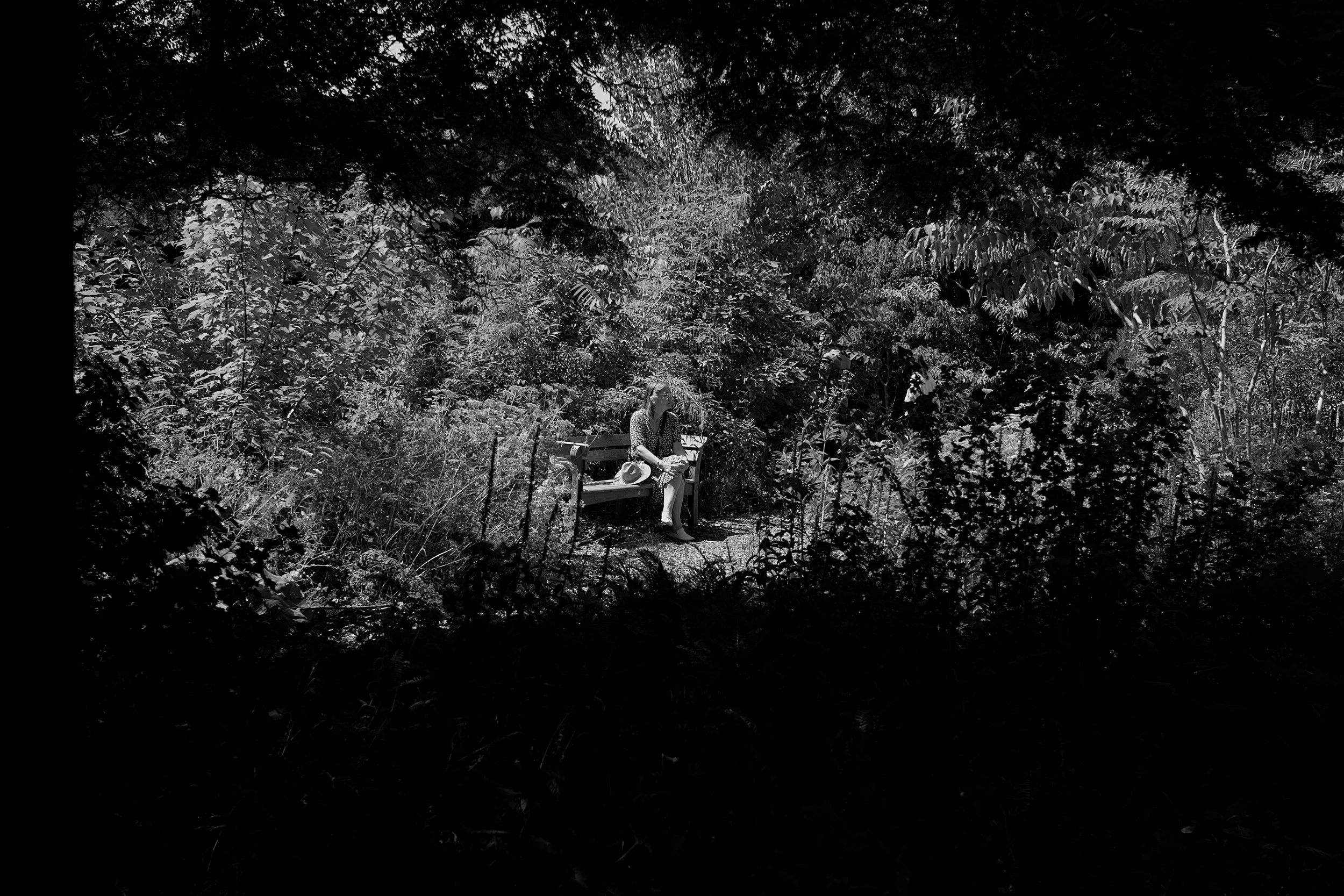
Ah yes, as usual I finish with “The Bench of Contemplation” as I capture Uncle Phil, in the Japanese Garden.

The Bench of Contemplation.

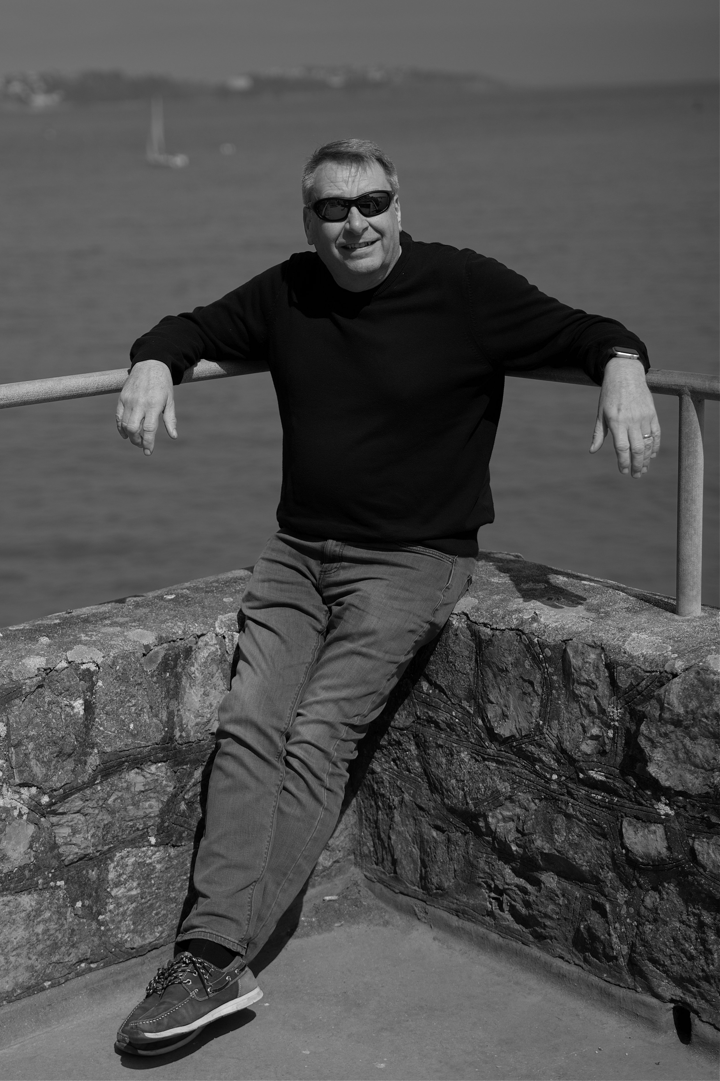
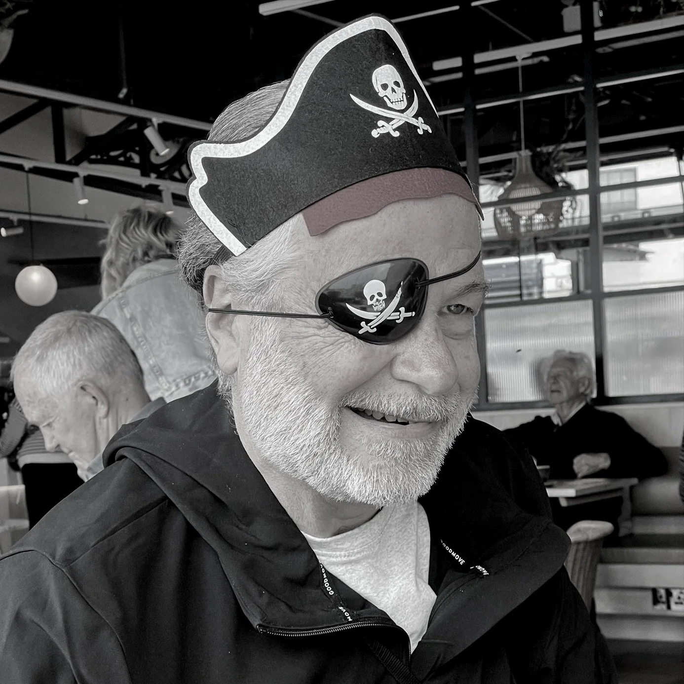
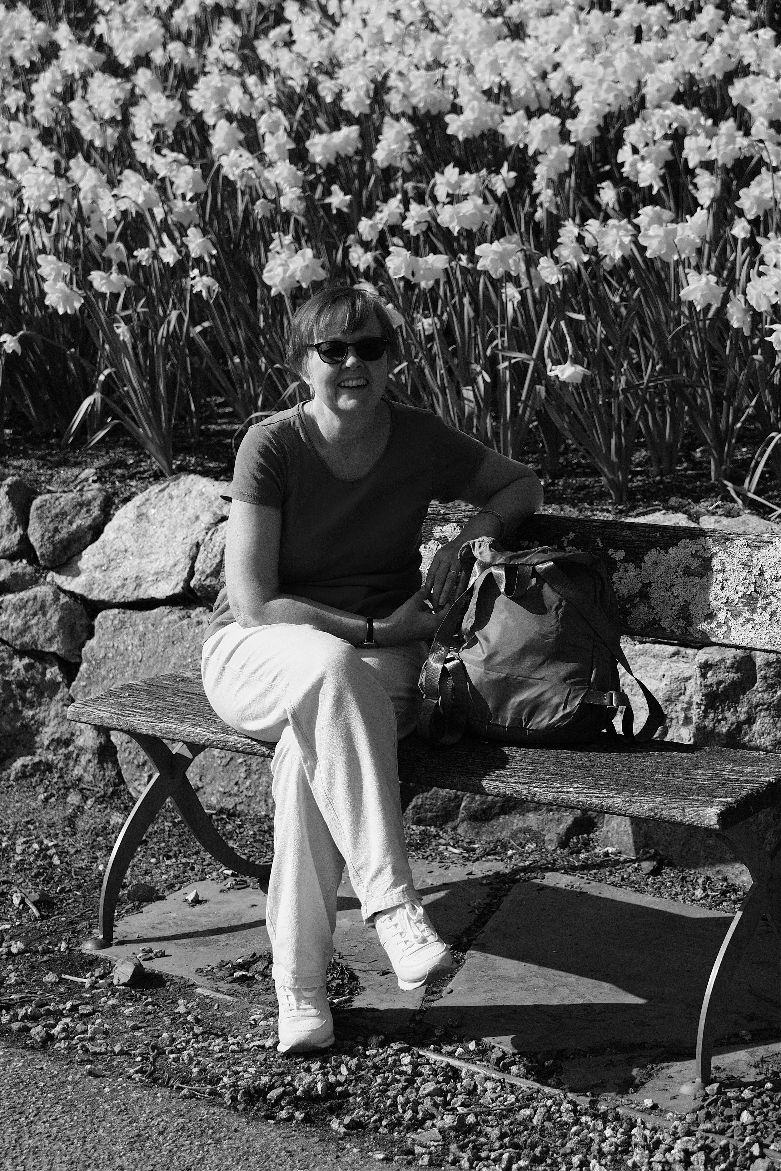
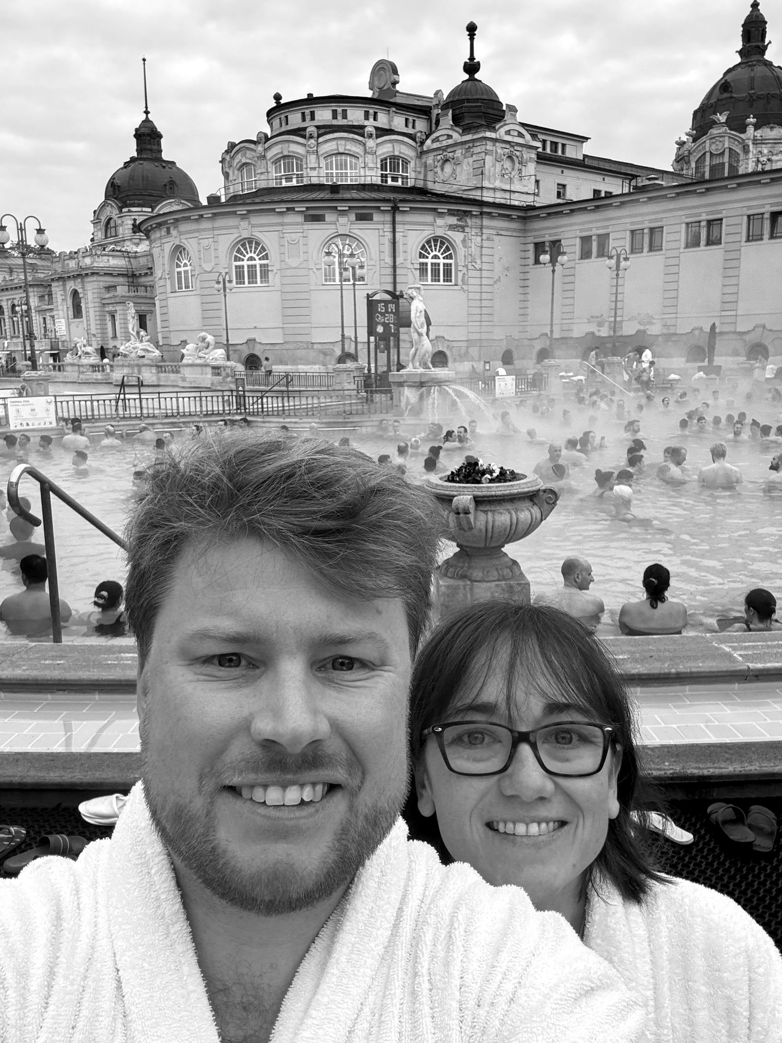
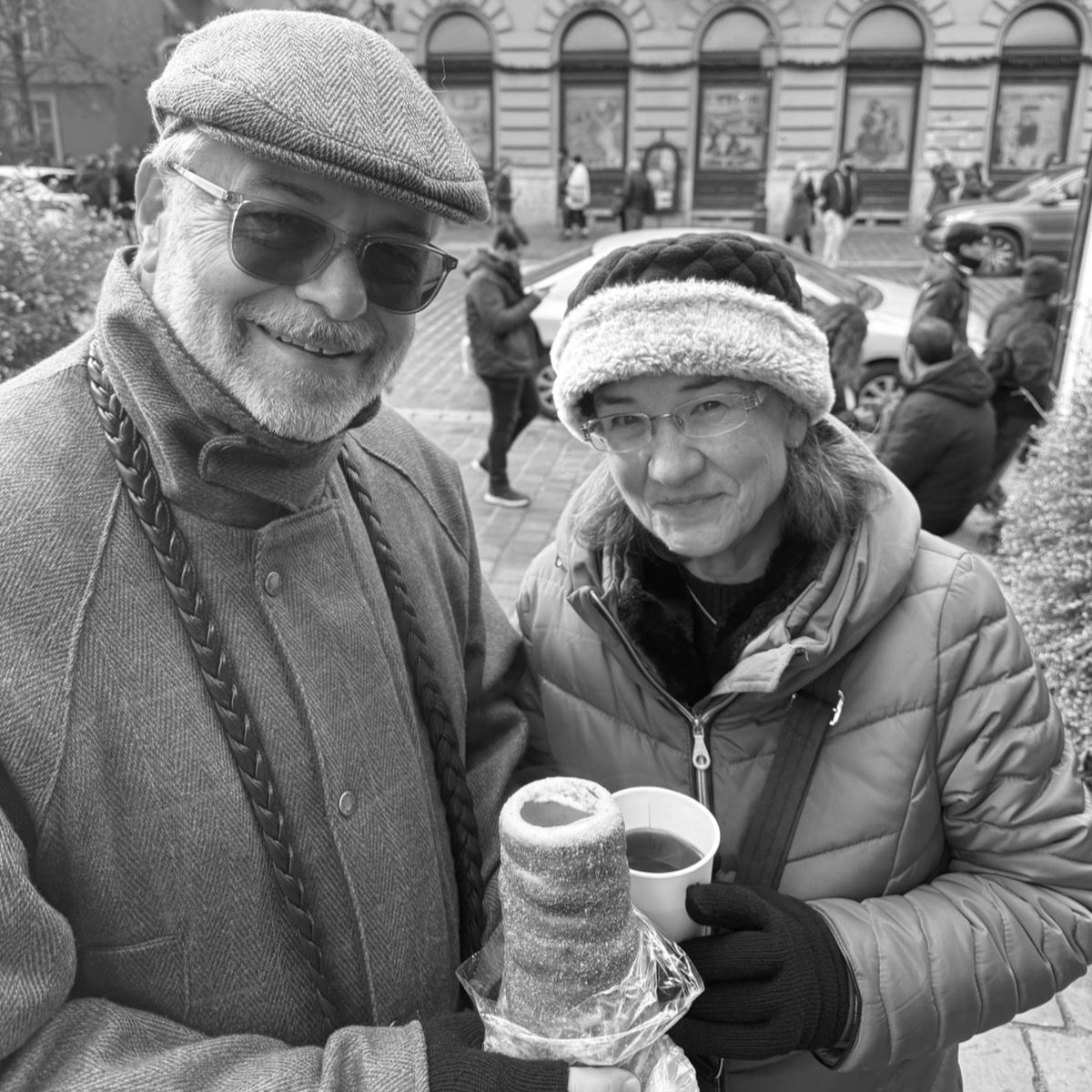
Me and Mrs C, and don’t you just love my hat!
Well this summer certainly has so much more still to offer so stay tuned as we head off on our “European Grand Tour”. Meantime, may I wish you all good health, good light and lots of love from a sweltering Plymouth U.K.